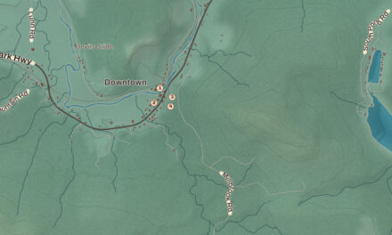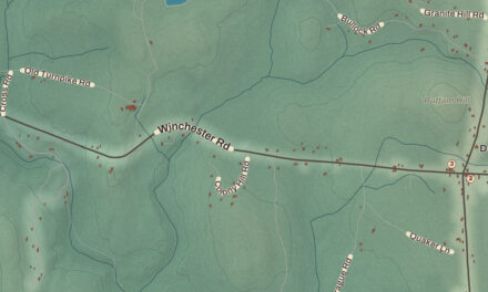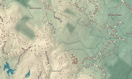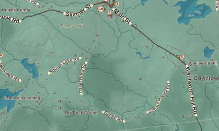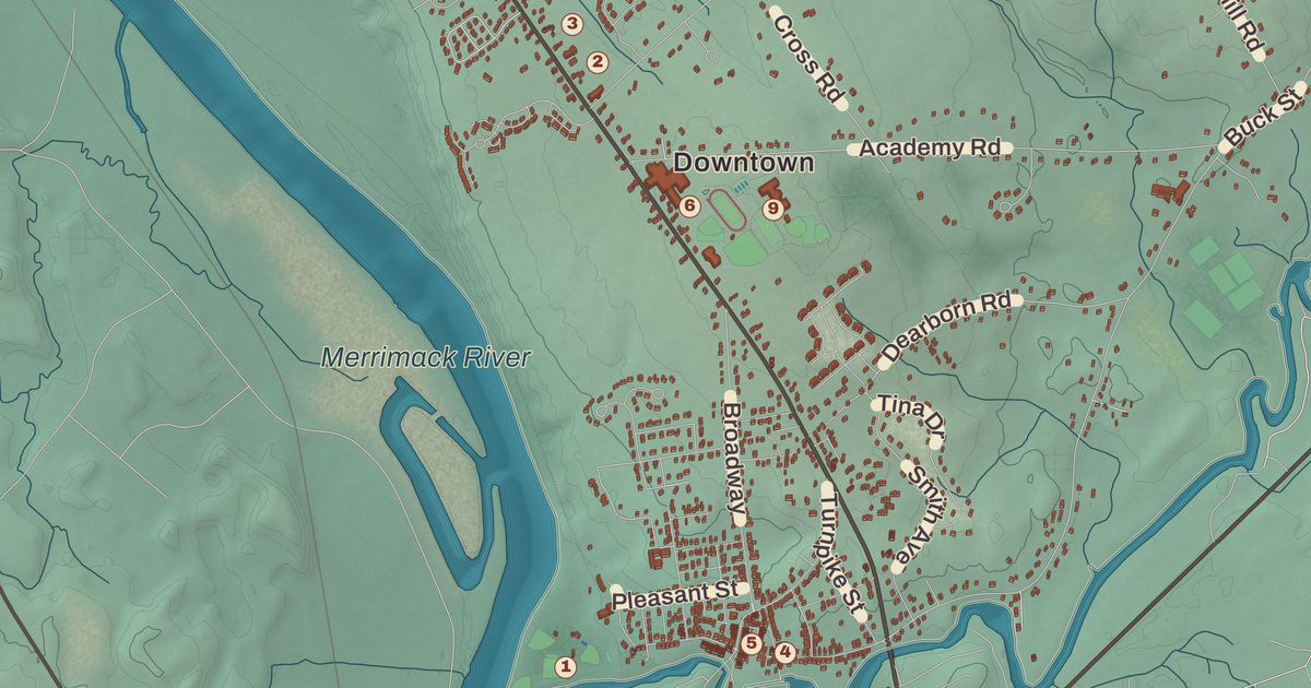
Three rivers draw most of Pembroke’s borders, the Merrimack on the southwest, the Soucook on the northwest and the Suncook on the southeast, and where the Suncook drops toward the Merrimack, the mill village of Suncook grew up around its falls. This map prints the Suncook Village Historic District, the Jacob Noyes Block, the Pembroke Town Hall, the Pembroke Town Library and the Pembroke Pines Country Club, with Pembroke Hill, Plausawa Hill and North Pembroke.
Pembroke is in Merrimack County, just southeast of Concord.
KNOWOL made this map in 2026 from public survey data and gave it the look of an old atlas. The shaded terrain around Pembroke Hill and Plausawa Hill comes from United States Geological Survey elevation data; Plausawa Hill, in the north, is the highest point in town at 1,000 feet above sea level. The roads and the town line come from the Census Bureau, down to smaller roads such as Eley Lane. The Jacob Noyes Block and the Suncook Village historic district are on the National Register of Historic Places, and we checked them against National Park Service records. Pembroke had 7,207 people at the 2020 census, and the town page notes that New Hampshire’s center of population lies close to the town center.
See it on a wall
The Pembroke map as a framed print. Swipe for more.


Lovewell’s Town
The town was first granted in 1728 and known as Lovewell’s Town, for Captain John Lovewell. His page says the widows and children of Lovewell and the men who died with him were given large tracts of land in what’s now Pembroke. Soon after, the town took the name Suncook, the Pennacook Abenaki name for the river, and when Governor Benning Wentworth incorporated it in 1759, it became Pembroke, for Henry Herbert, ninth Earl of Pembroke. Plausawa Hill keeps the name of Plausawa, a Pennacook man who lived there, and today the National Weather Service runs a radio tower near its summit.
Mills on the Suncook
The Suncook River falls 70 feet in half a mile just before it joins the Merrimack, and the village of Suncook formed along those falls. About two-thirds of it lies in Pembroke and the rest in Allenstown, across the river. The town page says Pembroke’s early history shows in the mills of the downtown area, built to use the river’s power, and names the best known as the Pembroke Mills, Webster Manufacturing and China Manufacturing, all making print cloth. Pembroke also made bricks from clay along the Merrimack, and the Concord and Portsmouth Railroad opened a station here in 1852.
The commercial and civic heart of the village, on the Pembroke side next to the Pembroke Mill, was listed on the National Register in 2005. It’s a 3-acre district of 21 commercial buildings. A fire in 1876 burned much of the west side of Main Street and another took much of the east side two years later, and afterward the town widened the street and many brick buildings went up, several with Italianate and Renaissance Revival touches. The Clock Tower building at 116 Main Street overlooks the river, and its four-story tower is the tallest structure in the village.
A block east, at 48 Glass Street, stands the Jacob Noyes Block, a three-story brick Italianate building that its page calls the largest 19th-century commercial building in the village. Jacob Noyes, a trader, built it about 1865 as a speculation, apparently expecting business to spread up Glass Street from the village center. It never did, and the building still stands apart. Its upper hall was a meeting place of the Société Sainte Jean Baptiste, an organization of the French-Canadians who came in large numbers to work in the Suncook mills.
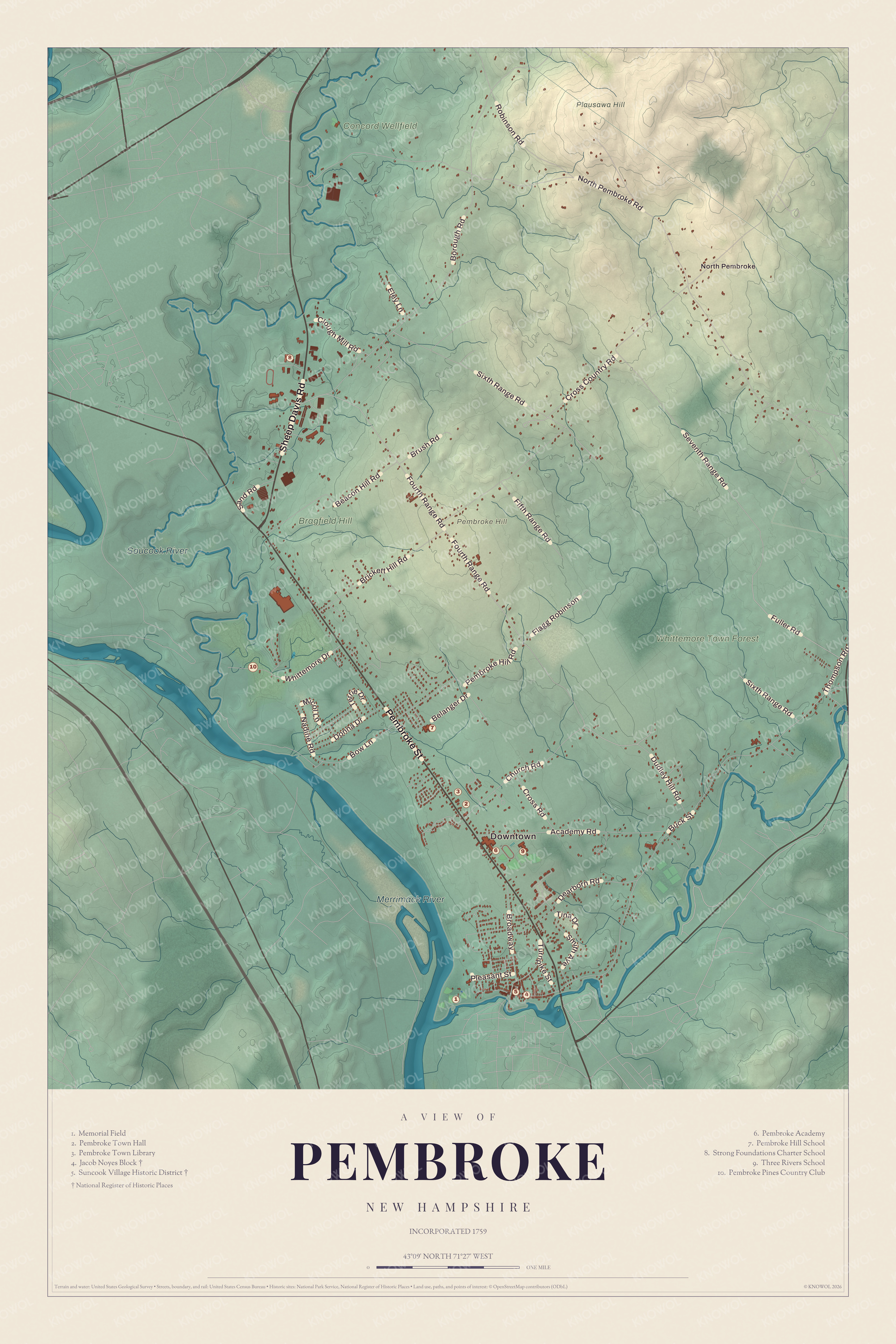
Click to explore a larger preview. The digital watermark does not appear on printed maps.
Names on this map
These names are printed on this map.
Places: Downtown, North Pembroke, Pembroke Hill, Plausawa Hill, Soucook River, Merrimack River, Whittemore Town Forest, Concord Wellfield, Bragfield Hill, Memorial Field, Pembroke Town Hall, Pembroke Town Library, Jacob Noyes Block, Suncook Village Historic District, Pembroke Academy, Pembroke Hill School, Strong Foundations Charter School, Three Rivers School and Pembroke Pines Country Club.
Streets and roads: Pembroke Street, Sheep Davis Road, North Pembroke Road, Fourth Range Road, Cross Country Road, Buck Street, Borough Road, Sixth Range Road, Seventh Range Road, Academy Road, Robinson Road, Beacon Hill Road.
More street names, A to Z
Belanger Drive, Bow Lane, Brickett Hill Road, Broadway, Brush Road, Church Road, Clough Mill Road, Cross Road, Dearborn Road, Donna Drive, Dudley Hill Road, Eley Lane, Fifth Range Road, Flagg Robinson, Fuller Road, Micol Lane, Nadine Road, Pembroke Hill Road, Pleasant Street, Sand Road, Smith Avenue, Terrie Drive, Thompson Road, Tina Drive, Turnpike Street, Whittemore Drive.
A library law and an academy
Pembroke’s first lending library was a proprietary one, incorporated on December 7, 1798, as the Proprietors of the Pembroke Library, and only its shareholders could borrow the books. In 1895 the legislature passed a law, its page says the first of its kind in the nation, requiring each town to fund a public library unless voters chose each year not to. That law led to the founding of the Pembroke Town Library in 1896. It moved from place to place for years, and its own building was dedicated on June 14, 2003.
Pembroke Academy was incorporated in 1818 as a private school and opened in May 1819 with 48 students. In its early years it prepared many students for Dartmouth College, and its alumni include Mary Baker Eddy, who founded Christian Science, the Secretary of the Navy William E. Chandler and the journalist Charles Carleton Coffin. Today it’s the public high school for Pembroke and neighboring towns. The journalist Thomas W. Knox was born in Pembroke in 1835 and went to school here, then covered the Civil War for the New York Herald, traveled the world and wrote over 45 books, among them a popular travel series for boys.
Around Pembroke
Three Rivers School takes its name from the rivers that form most of the town’s borders. U.S. Route 3 follows Pembroke Street northwest from Suncook toward Concord, Route 28 runs along the west bank of the Suncook as Pinewood Road, and Route 9 crosses the narrow strip at the north end of town as Loudon Road. Pembroke Hill and North Pembroke are printed on the map, and so is the Pembroke Pines Country Club.
This Pembroke map makes a good addition to an office, library or den, and it can help teach children the geography and history of a mill town on three rivers. It’s made for anyone who calls Pembroke home, from Suncook to North Pembroke, and KNOWOL created it in 2026 to show the town as it looks today. Zoom in on the preview above to explore the details, then click here to get your copy of the Pembroke map.

Sources