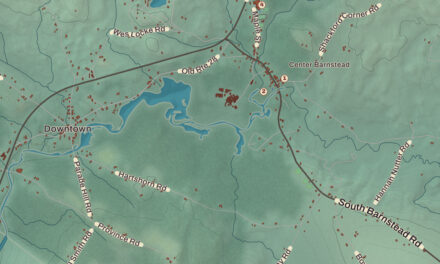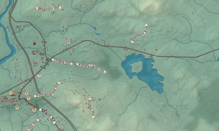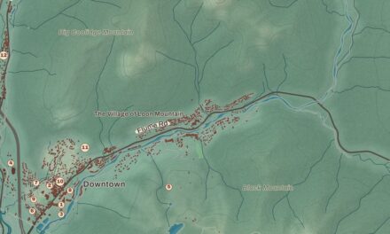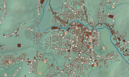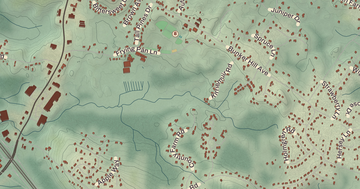
Some of Stratham’s historic houses stand along Portsmouth Avenue, the old main road between Portsmouth and Exeter, and one of them served travelers as an inn for about a century. This map prints three of them, the Bartlett-Cushman House, the Cornet Thomas Wiggin House and the John Crockett House, along with the Stratham Town Offices and the Wiggin Memorial Library, with Barkers Hill, Jewell Hill, Stratham Station and Parkman Corner.
Stratham is in Rockingham County, between Exeter and Greenland, with the Squamscott River on its western edge.
KNOWOL made this map in 2026 from public survey data and gave it the look of an old atlas. The shaded terrain around Barkers Hill and Jewell Hill comes from United States Geological Survey elevation data. Jewell Hill and its neighbor Stratham Hill, both glacial drumlins, share the highest ground in town, 290 feet above sea level. The roads and the town line come from the Census Bureau, down to smaller roads such as Stratham Lane. The Bartlett-Cushman House and the Cornet Thomas Wiggin House are on the National Register of Historic Places, and we checked them against National Park Service records. Stratham had 7,669 people at the 2020 census.
See it on a wall
The Stratham map as a framed print. Swipe for more.


Squamscott Patent
Stratham was settled in 1631 and incorporated in 1716, the sixth town in the colony to be incorporated. The Pennacook people called the area Winnicutt, and the English knew it as the Squamscott Patent or Point of Rocks, for its place between Great Bay and the Squamscott River. The town was named for Wriothesley Russell, Baron Howland of Streatham, a friend of the royal governor Samuel Shute. Its founder was Thomas Wiggin, who came over with the Winthrop Fleet and by 1631 was governor of the Upper Plantation, which took in today’s Dover, Durham and Stratham. He settled in what is now Stratham and held the large Squamscott patent east of the river’s mouth.
In 1793 Phinehas Merrill mapped the whole town. The town page calls that unusual for a New England settlement of its size, and thanks to his map it’s possible to tell which of Stratham’s buildings are older than 1793.
Houses on the old road
The John Crockett House, built about 1760, is a well-kept Georgian house on the north side of Portsmouth Road. Ephraim Crockett and his son John, both well-known local builders, put it up around the time of John’s marriage. In 1780 a tailor named Henry Kenniston bought it and turned it into an inn, taking advantage of its spot halfway between Portsmouth and Exeter, and as Kenniston’s Tavern it stayed in his family’s hands as an inn until 1883. Just down the road at Depot Road, the Cornet Thomas Wiggin House was started about 1775 but apparently wasn’t finished until the 1790s, after Wiggin died and the disputes over his estate were settled. His son-in-law, Nathan Barker, is thought to have finished the inside and later bought the place. Its page calls it a remarkably little-altered Federal-period house, and its barn is believed to be just as old. Both joined the National Register in 1983.
In the town center, at Bunker Hill Road, the Bartlett-Cushman House is one of Stratham’s best Federal-style houses. It was built by a local builder, Joshua Pike, for Josiah Bartlett III, a doctor who had recently set up a practice in town. Its granite foundation shows one of the earliest known uses in the state of plug drills and feathers to split stone. Bartlett’s descendants lived there until 1904, and later Susie and Arthur Cushman turned it into a two-family house for their relatives. The town bought it in 2013, and it was listed on the National Register in 2014.
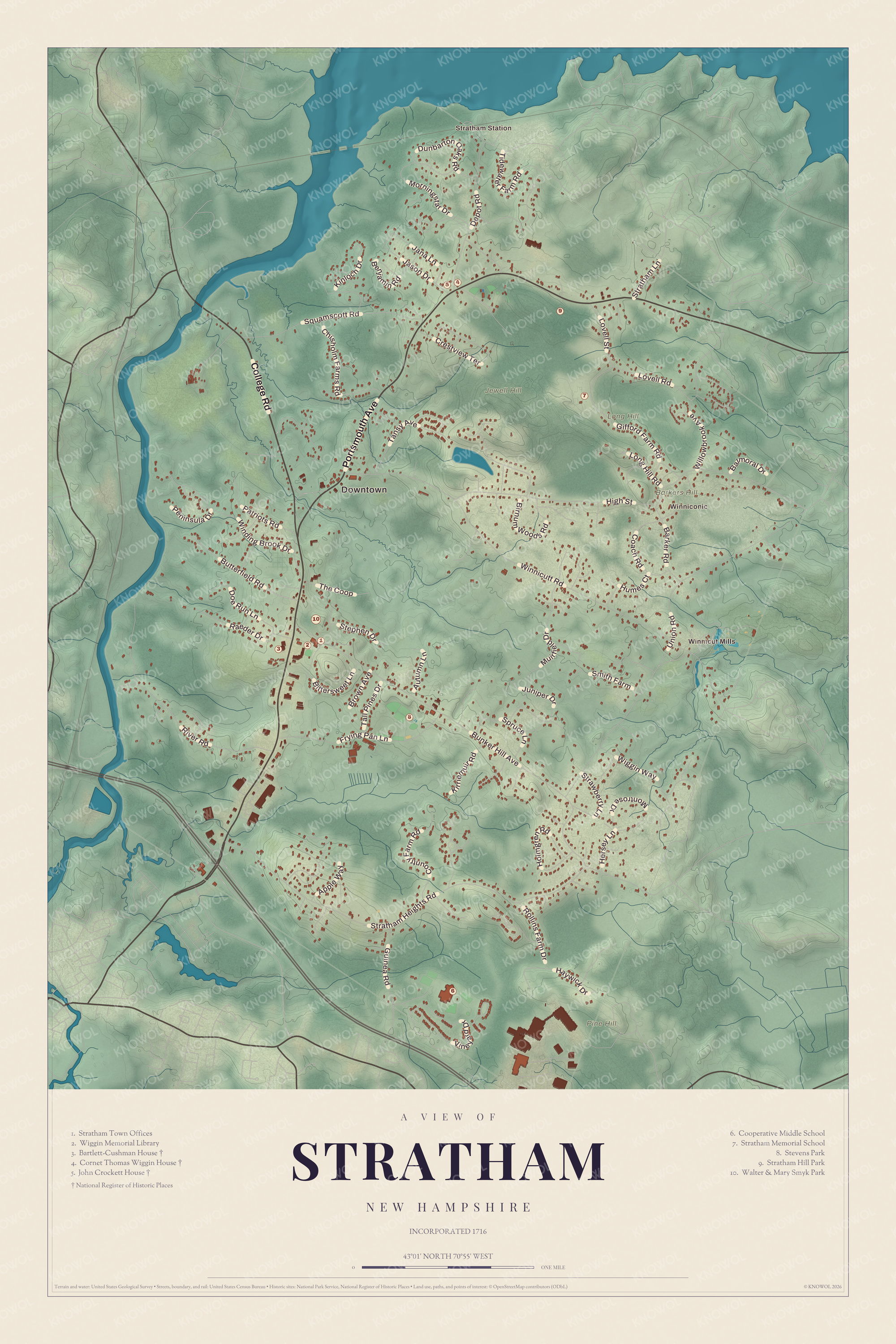
Click to explore a larger preview. The digital watermark does not appear on printed maps.
Names on this map
These names are printed on this map.
Places: Downtown, Stratham Station, Winnicut Mills, Winniconic, Barkers Hill, Jewell Hill, Long Hill, Pine Hill, Stratham Town Offices, Wiggin Memorial Library, Bartlett-Cushman House, Cornet Thomas Wiggin House, John Crockett House, Cooperative Middle School, Stratham Memorial School, Stevens Park, Stratham Hill Park and Walter & Mary Smyk Park.
Streets and roads: Portsmouth Avenue, College Road, Bunker Hill Avenue, Winnicutt Road, Stratham Heights Road, Union Road, High Street, River Road, Squamscott Road, Frying Pan Lane, Depot Road, Gifford Farm Road.
More street names, A to Z
Apple Way, Autumn Lane, Balmoral Drive, Barker Road, Benjamin Road, Birnum Woods Road, Bittersweet Lane, Brown Avenue, Butterfield Road, Chisholm Farms Road, Coach Road, Country Farm Road, Crestview Terrace, Doe Run Lane, Dunbarton Oaks Road, Guinea Road, Haywick Drive, Hersey Lane, Holmgren Road, Humes Court, Jana Lane, Jason Drive, Juniper Drive, Kinloch Drive, Kirriemuir Road, Long Hill Road, Lovell Road, Lovell Street, Montrose Drive, Morningstar Drive, Muirfield Drive, Patriots Road, Peninsula Drive, Raeder Drive, Rollins Farm Drive, Smith Farm, Spruce Lane, Stephen Drive, Stratham Lane, Strawberry Lane, Tall Pines Drive, Tansy Avenue, The Coop, Tidewater Farm Road, Vineyard Drive, Wiggin Way, Willowbrook Avenue, Winding Brook Drive.
Library, farm and fair
Stratham has had private libraries since 1793, and the town began paying for the last of them in 1896. In 1912 a stone library went up at 158 Portsmouth Avenue, paid for by a gift from Emma Blodgett Wiggin and named for her and her husband, George Wiggin. It served as the public library until 1989 and is now home to the Stratham Historical Society, and the Wiggin Memorial Library carries on in its newer building on Bunker Hill Avenue. In 2018 it was one of 14 finalists for the National Medal for Museum and Library Service.
At Emery Farm, in 1855, John Emery began growing vegetables to sell door to door from Dover to Portsmouth, which its page says is believed to be the first market garden farming in New Hampshire. The practice spread to other Stratham farms, and Emery is credited with bringing fresh strawberries to Portsmouth. From 1967 the town held the Stratham Fair each summer at Stratham Hill Park, and since 2023 the park has hosted a yearly Summerfest. Stratham Hill Park and the Gordon Barker Town Forest share a trail system for hikers and mountain bikers. Paine Wingate, who served in the Continental Congress and the first United States Senate, gave up preaching in 1776 to farm in Stratham, and when he died at 98 he was the last surviving member of the first Congress.
Barkers Hill, Jewell Hill, Stratham Station and Parkman Corner are printed on the map, along with the Stratham Town Offices and the Wiggin Memorial Library. Routes 33, 108 and 111 cross the town, and the Route 101 expressway runs through its southern part.
This Stratham map makes a good addition to an office, library or den, and it can help teach children the geography and history of one of the colony’s earliest towns. It’s made for anyone who calls Stratham home, from Stratham Station to Parkman Corner, and KNOWOL created it in 2026 to show the town as it looks today. Zoom in on the preview above to explore the details, then click here to get your copy of the Stratham map.

Sources
- Stratham, New Hampshire, Wikipedia
- Thomas Wiggin, Wikipedia
- John Crockett House, Wikipedia
- Cornet Thomas Wiggin House, Wikipedia
- Bartlett-Cushman House, Wikipedia
- Wiggin Memorial Library, Wikipedia
- Stratham Historical Society, Wikipedia
- Emery Farm (Stratham, New Hampshire), Wikipedia
- Paine Wingate, Wikipedia