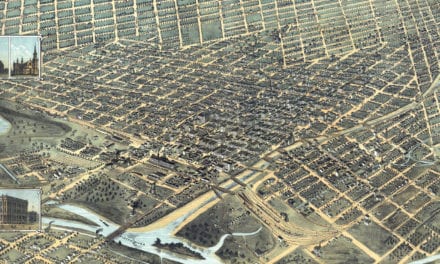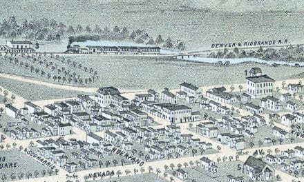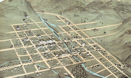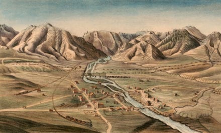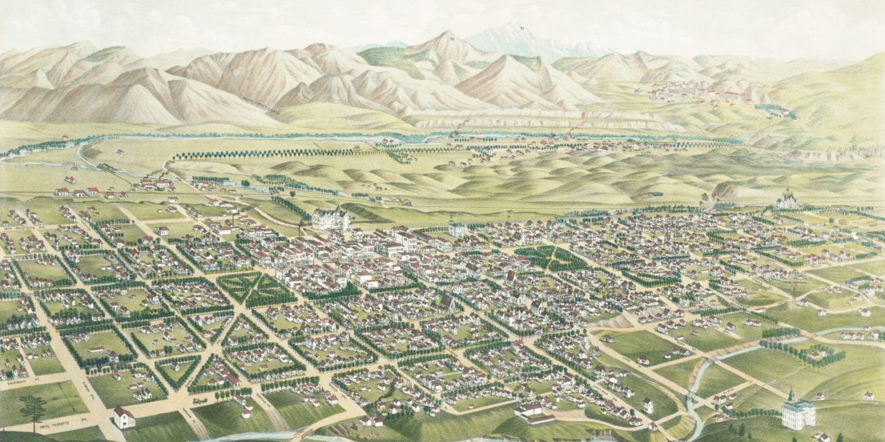
This map of Colorado Springs, Colorado was created in 1882 by J.J. Stoner, a prominent 19th century map maker. The map shows a bird’s eye view of Colorado Springs looking toward Pike’s Peak, with street names and old landmarks.
The map is titled a “Panoramic Bird’s Eye View of Colorado Springs, Colorado City and Manitou, Colorado,” and lists the 1882 population at 7,000 and the city’s altitude as 5975′. The city became popular for its scenic wonders, famous climate, and mineral water springs believed to improved health.
Old Colorado Springs landmarks on the map include Pike’s Peak, Garden of the Gods, Colorado College, Colorado City Brewery, Cameron’s Cone, Alamo Square, Acacia Park, Masonic Hall, Manitou Hotel, Opera House, and more.
This historic map of Colorado Springs, CO has been restored by KNOWOL. Reproductions of the map are available here.
Bird’s Eye View of Colorado Springs in 1882
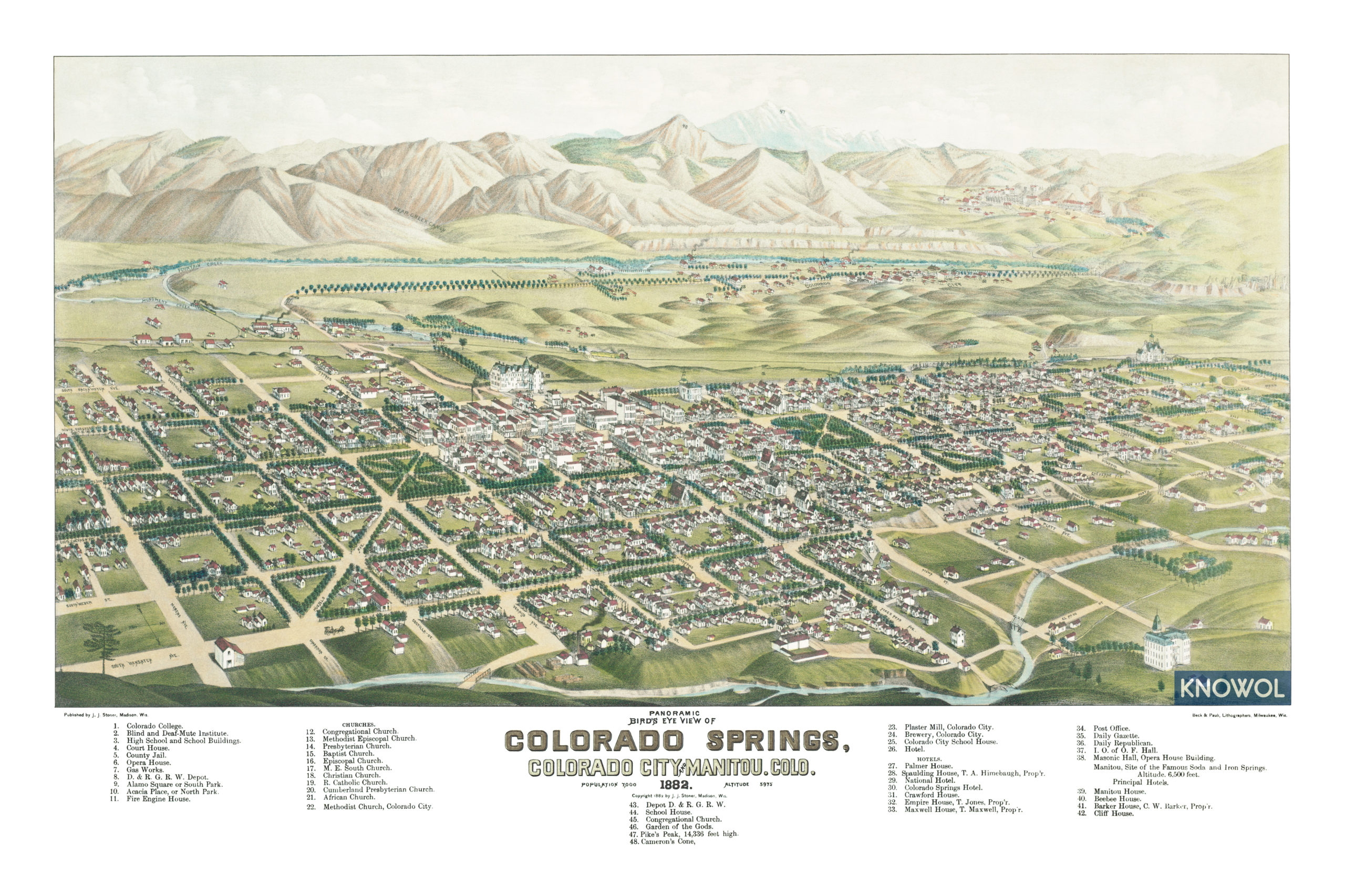
This map of Colorado Springs will make an attractive addition to your office, library, or den and can even be used to teach children the geography and history of the area. When you’re done exploring, click here to get your copy.