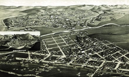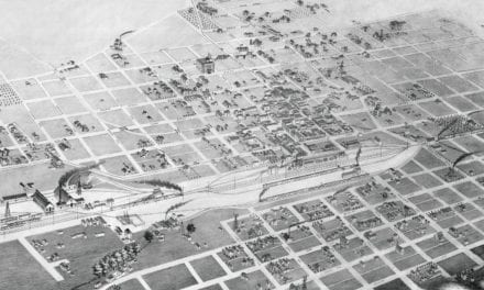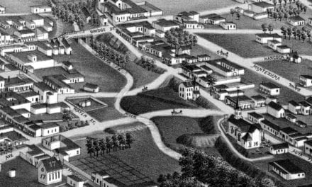
This pictorial Map of New Mexico is a one page history dedicated to the Old Timers. The map was originally created in 1939 and has been restored and remixed by KNOWOL. The detailed illustrations beautifully depict historical facts and locations from New Mexico history.
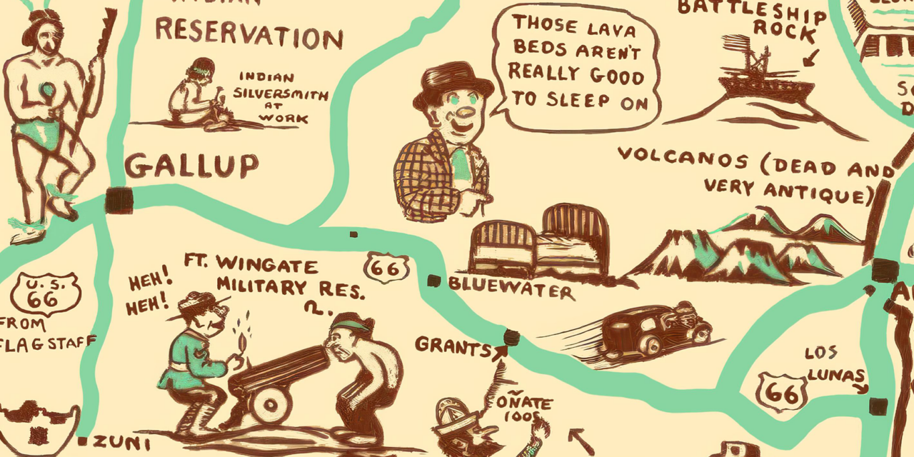
Residents and admirers of the Land of Enchantment are transported to an era where the quirks of each locality are celebrated in caricature. The Cartoon Map of New Mexico presents landmarks, historical figures, and everyday scenes with a charm that is both engaging and informative. Landmarks such as the Old Santa Fe Trail, Ruins of Pueblo Blanco, Ft. Wingate, Scene of Murphy McSwain Cattle War, E.N.M. Junior College, Kelly Ghost Mining Town and more are depicted with beautiful drawings.
Reproductions of the restored map are available here. You can explore the full map by clicking on the image below.
Historic Pictorial Map of New Mexico, 1939
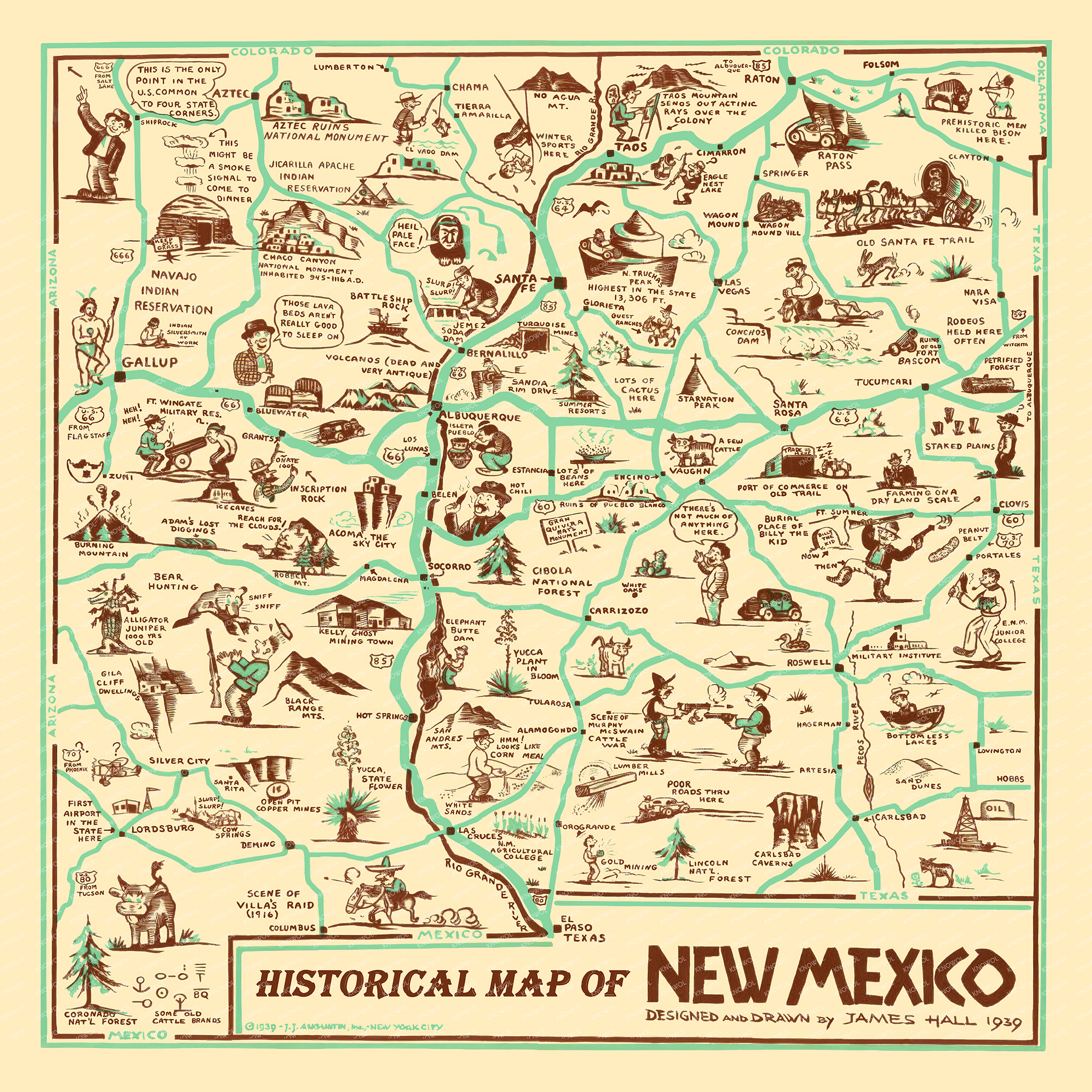
For New Mexicans, this map is a nostalgic nod to their state’s unique character. From the “No Agua” joke in Taos to the “Lots of Cactus” in Albuquerque, it cleverly highlights the idiosyncrasies and attractions that make New Mexico unlike any other place. It’s an art piece that tells the stories of the state with a wink and a smile, inviting everyone to explore the corners of New Mexico from a lighthearted perspective.
This piece is a perfect blend of art, humor, and history, making it a delightful addition to any home or office. For those who cherish local lore and the joy of discovery, Hall’s 1939 Cartoon Map of New Mexico is a treasure waiting to be hung on the wall. Whether you’re from Silver City or Santa Fe, this map will spark conversations and inspire a deeper appreciation for the state’s storied past and vibrant culture. When you’re done exploring, click here to get your copy of the restored map.