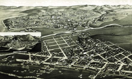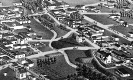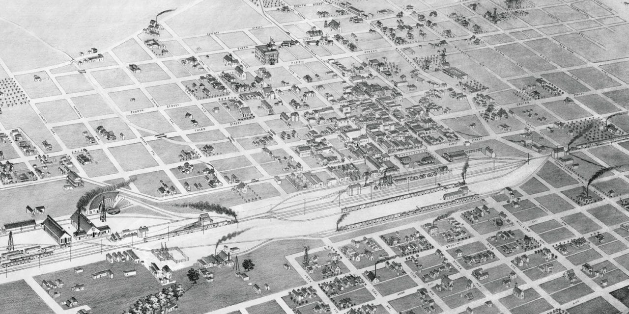
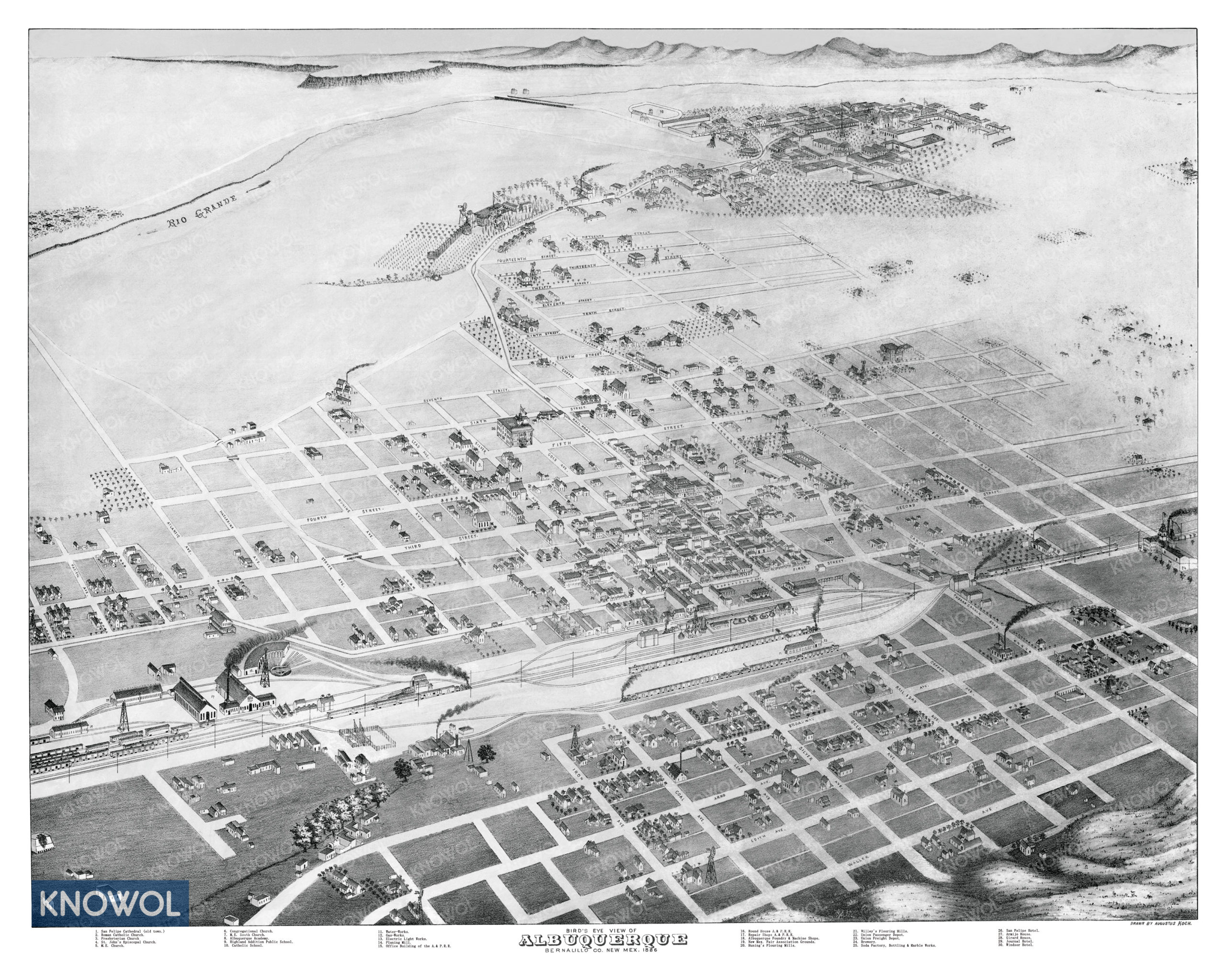
This historic map of Albuquerque, New Mexico was created in 1886 by Augustus Koch, a prominent 19th century map maker. The map shows a bird’s eye view of the city as it used to be, including street names and old landmarks.
Landmarks on the map include San Felipe Cathedral, Willey’s Flouring Mills, Albuquerque Academy, Highland Addition Public School, Albuquerque Brewery, Union Passenger Depot, Electric Light Works, Soda Factory, San Felipe Hotel, Huning’s Flouring Mills, New Mexico Fair Association Grounds, and more.
This historic map of Albuquerque has been restored by KNOWOL. Reproductions of the restored map are available here.
Historic Old Map of Albuquerque, New Mexico from 1886
This vintage map of Albuquerque makes an attractive addition to your office, library, or den, and can even be used to teach children the geography and history of the area. When you’re done exploring, click here to get your copy of the restored map.