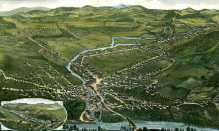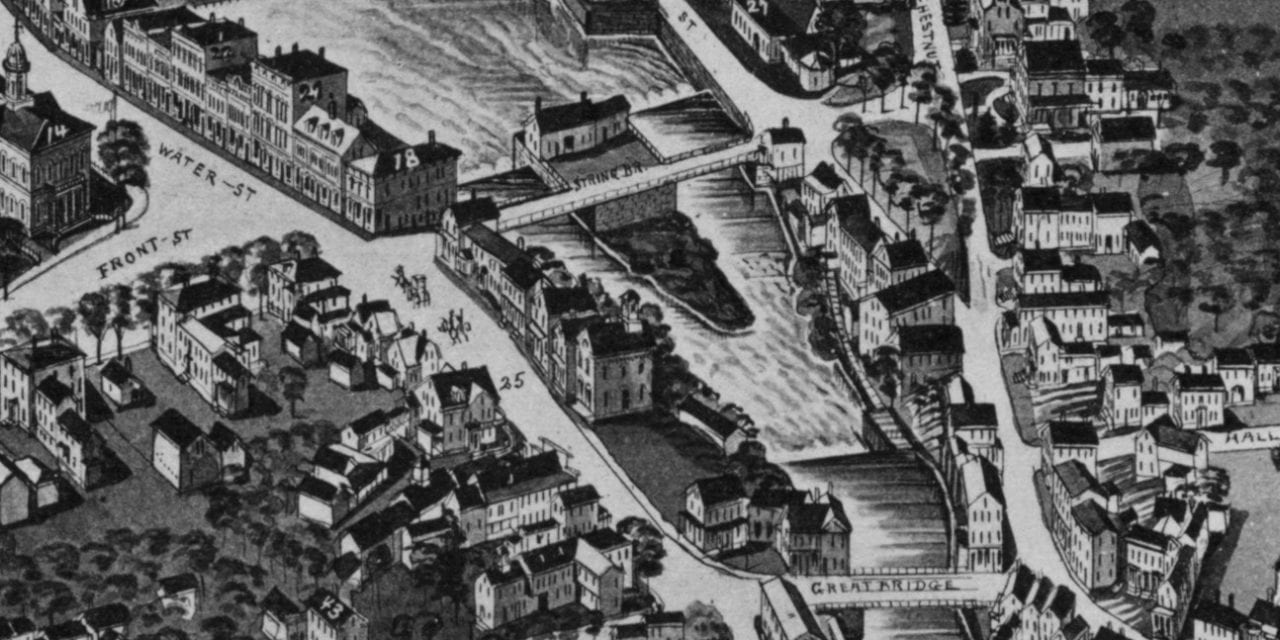
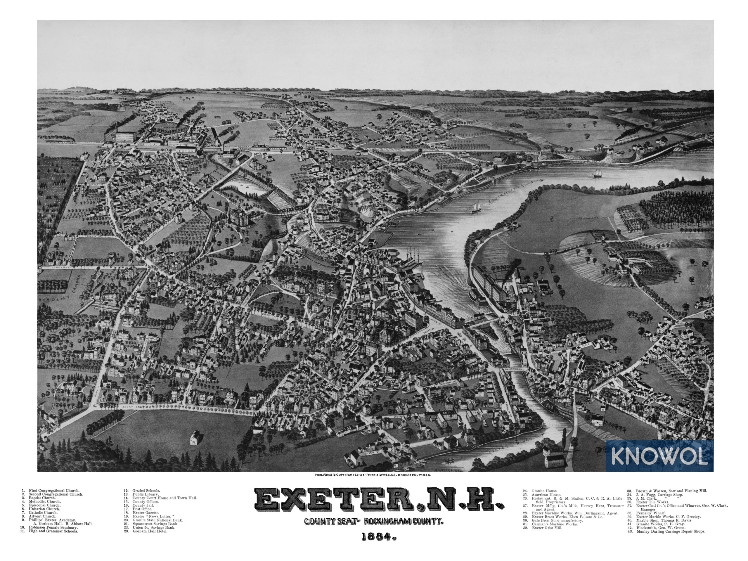
This historic map of Exeter, New Hampshire was created in 1884 by George Norris & Henry Wellge, two prominent 19th century map makers. The map shows a bird’s eye view of the area as it used to be, including street names and old landmarks.
Landmarks on the map include Phillips’ Exeter Academy, Robinson Female Seminary, Public Schools, County Court House & Town Hall, Exeter Gazette, Gorham Hall Hotel, Granite House, American House, Exeter Brass Works, Carman’s Machine Works, Exeter Grist Mill, Fogg Carriage Shop, Fernalds’ Wharf, and more.
This historic map of Exeter has been restored by KNOWOL. Reproductions of the restored map are available here.
Historic Old Map of Exeter, New Hampshire from 1884
This vintage map of Exeter makes an attractive addition to your office, library, or den, and can even be used to teach children the geography and history of the area. When you’re done exploring, click here to get your copy of the restored map.