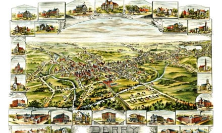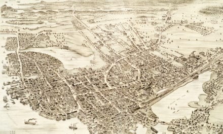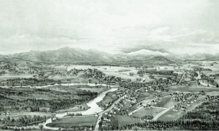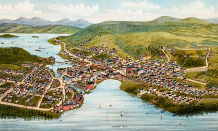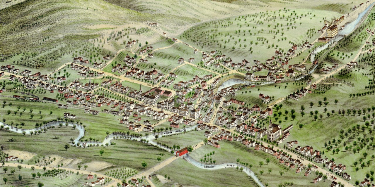
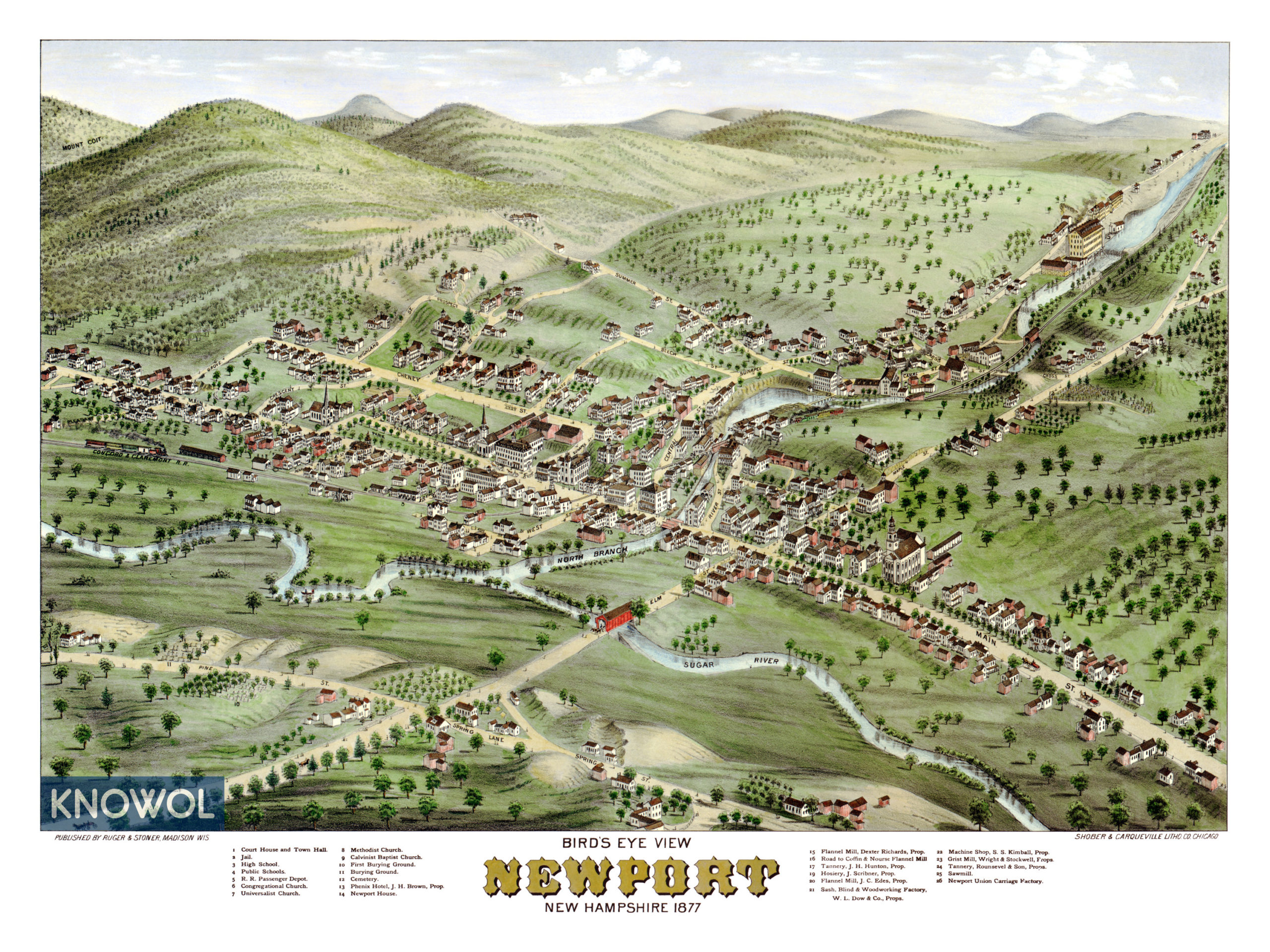
This map of Newport, New Hampshire was created in 1877 by Ruger & Stoner, prominent 19th century map makers. The map shows a bird’s eye view of Newport as it was, including street names and old landmarks.
The map seen here has been restored by KNOWOL. Reproductions of the restored map are available here.
Old Newport landmarks on the map include the Court House, Town Hall, Railroad Depot, First Burying Ground, Phenix Hotel, Newport House, Flannel Mills, Kimball Machine Shop and Newport Union Carriage Factory.
Click here to see Newport, New Hampshire in 1877
This historic old map of Newport will make an attractive addition to your office, library, or den and can even be used to teach children the geography and history of the area. When you’re done exploring, click here to get yours.