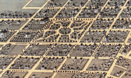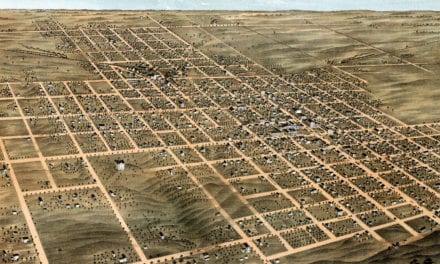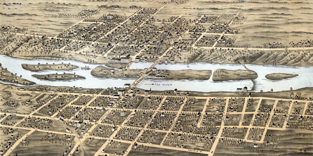
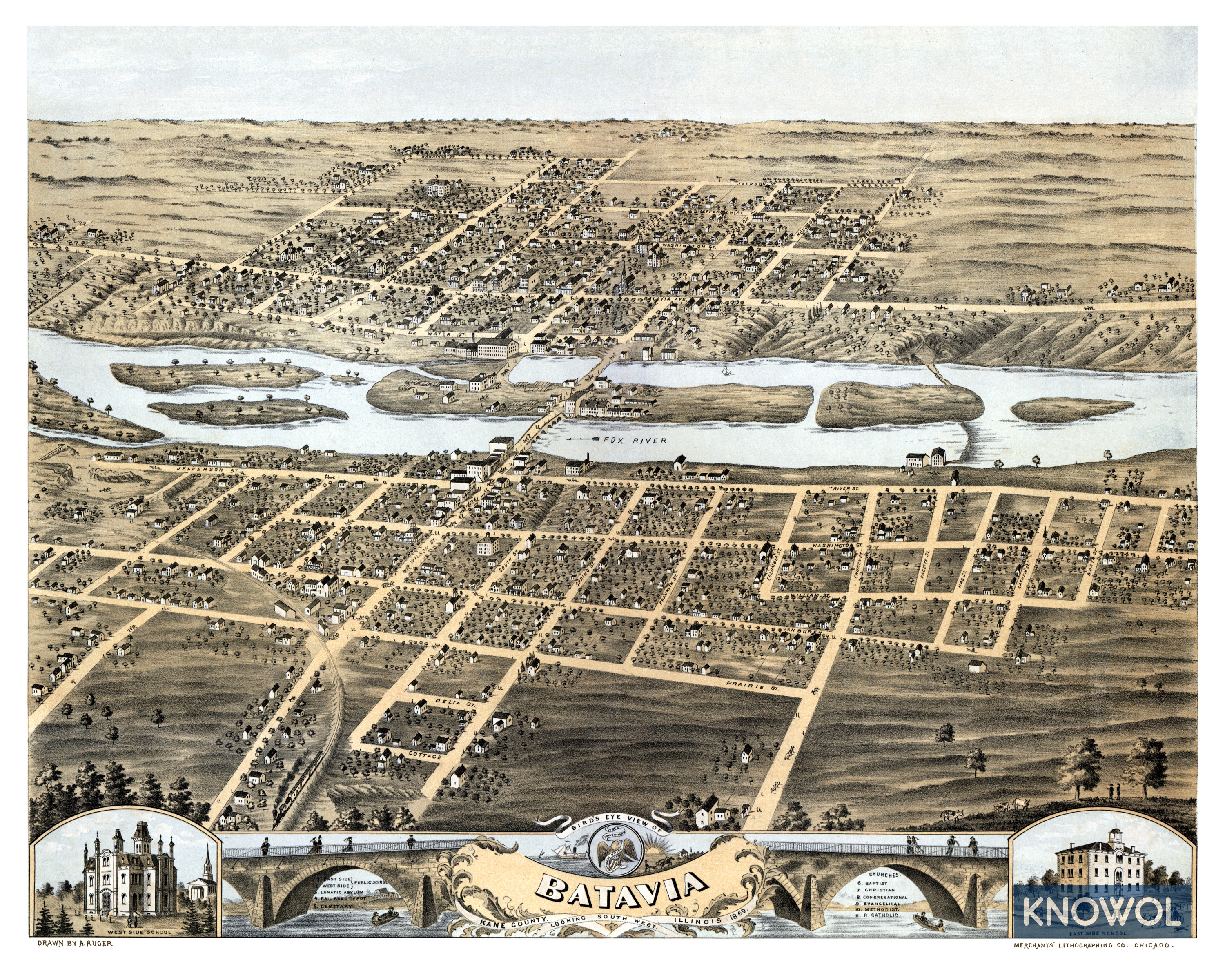
This map of Batavia, Illinois was first published in 1869 by Albert Ruger and Merchants’ Lithographing Company of Chicago. The map shows a bird’s eye view of Batavia as it was, including street names and old landmarks.
The map featured here has been restored by KNOWOL. Reproductions of the restored map are available here.
Old Batavia landmarks on the map include East and West Side Public Schools, Lunatic Asylum, Railroad Station, and more. Wilson street can be seen crossing the Fox River toward the center of the image.
Click here to see Batavia, Illinois in 1869
This historic map will make an attractive addition to your office, library, or den and can even be used to teach children the geography and history of the area. When you’re done exploring, click here to order a reproduction.