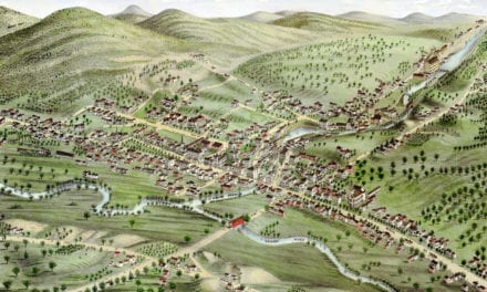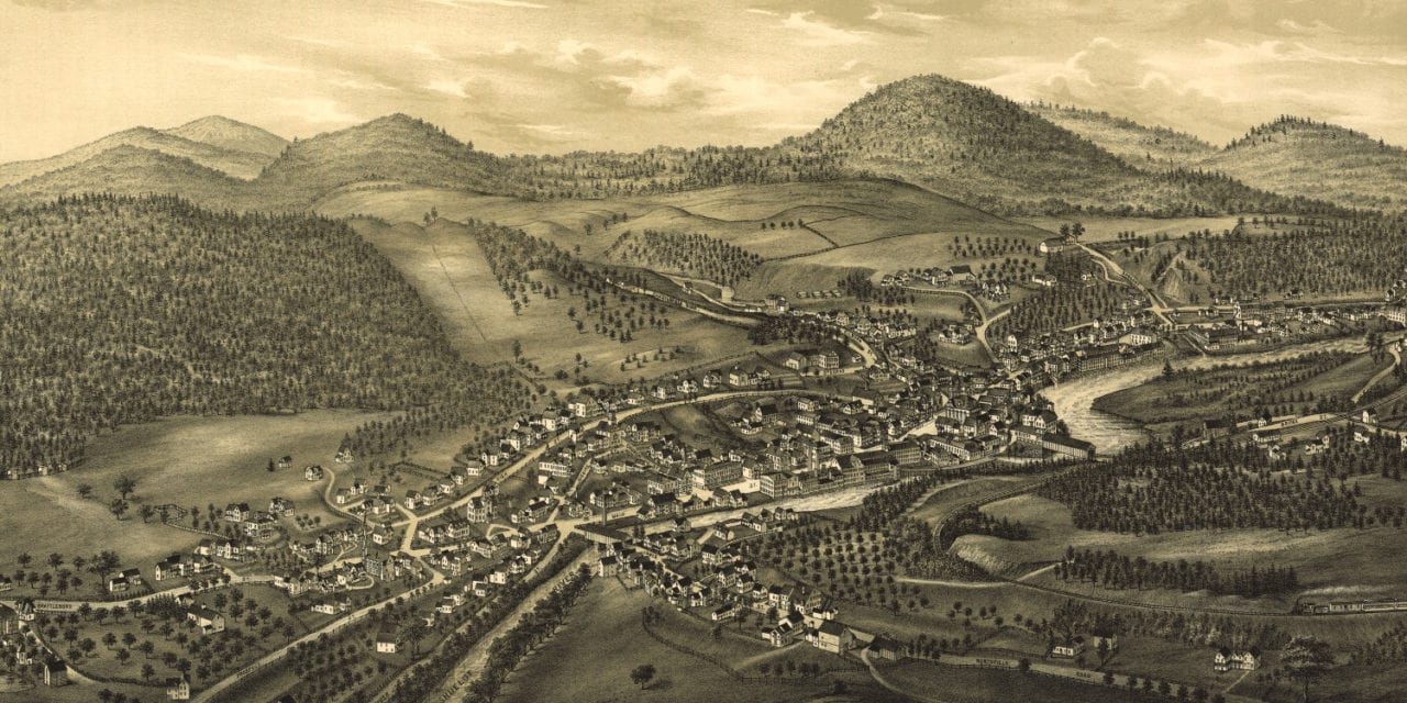
This historic map of Hinsdale, New Hampshire was created in 1886 by Lucien Burleigh, a prominent 19th century map maker. The map shows a bird’s eye view of the town as it used to be, including street names and old landmarks.
Landmarks on the map include Town Hall, Masonic Hall, Odd Fellows’ Hall, Post Office, Ashuelot Railroad Station, Office of “The Valley Record”, Hotel Ashuelot, The Haile & Frost Manufacturing Company, Hinsdale Savings Bank, Hinsdale Woolen Mill, Eagle Iron Foundry, and more.
This historic map of Hinsdale was restored by KNOWOL. Reproductions of the restored map are available here.
Bird’s Eye View of Hinsdale, New Hampshire in 1886
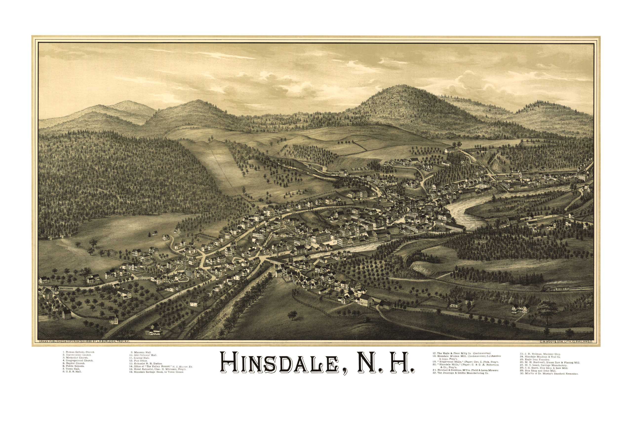
This old map of Hinsdale will make an attractive addition to your office, library, or den and can even be used to teach children the geography and history of the area. When you’re done exploring, click here to get your copy.