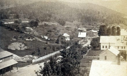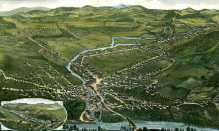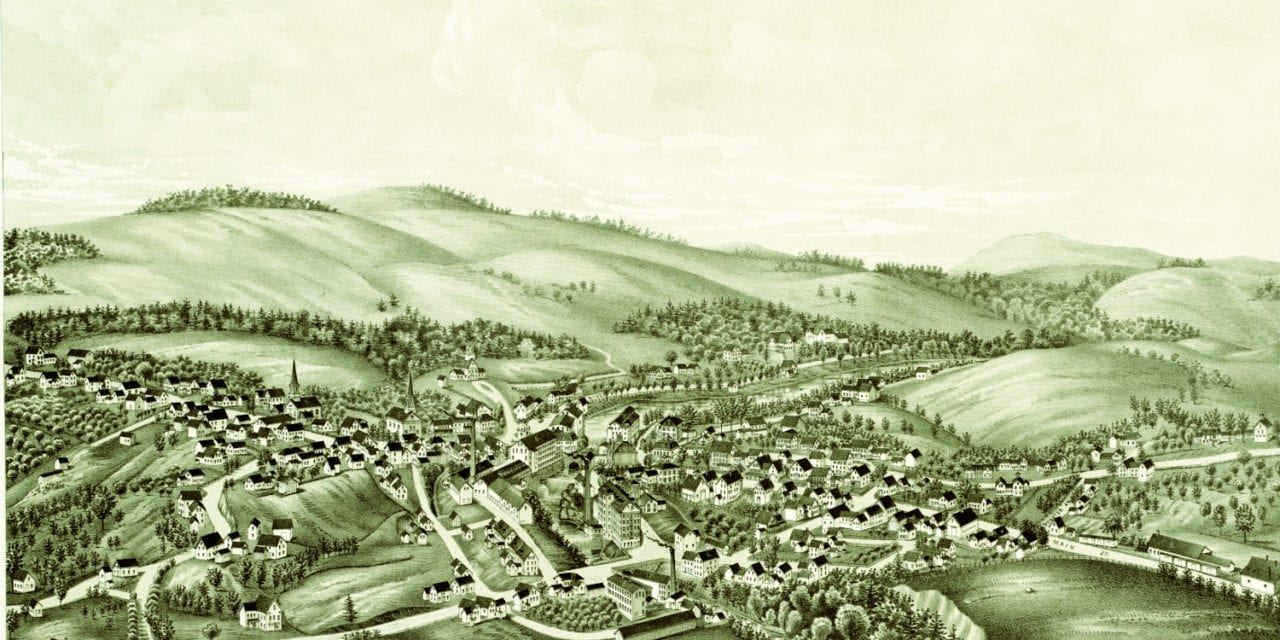
This map of Greenville, New Hampshire was created in 1886 by Lucien R. Burleigh, an artist and cartographer who spent much of his life traveling across America creating detailed bird’s eye view maps of small towns and their landmarks.
The map highlights prominent residences and buildings in Greenville at the time, including The Chamberlin Grist Mill and Furniture Manufacturer, Greenville Town Hall, railroad station and three Columbian County Mills.
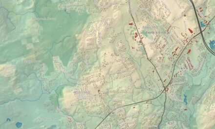
This map of Greenville has been restored by the team at KNOWOL. Reproductions of the map are available here.
Click here to see Greenville, NH in 1886.
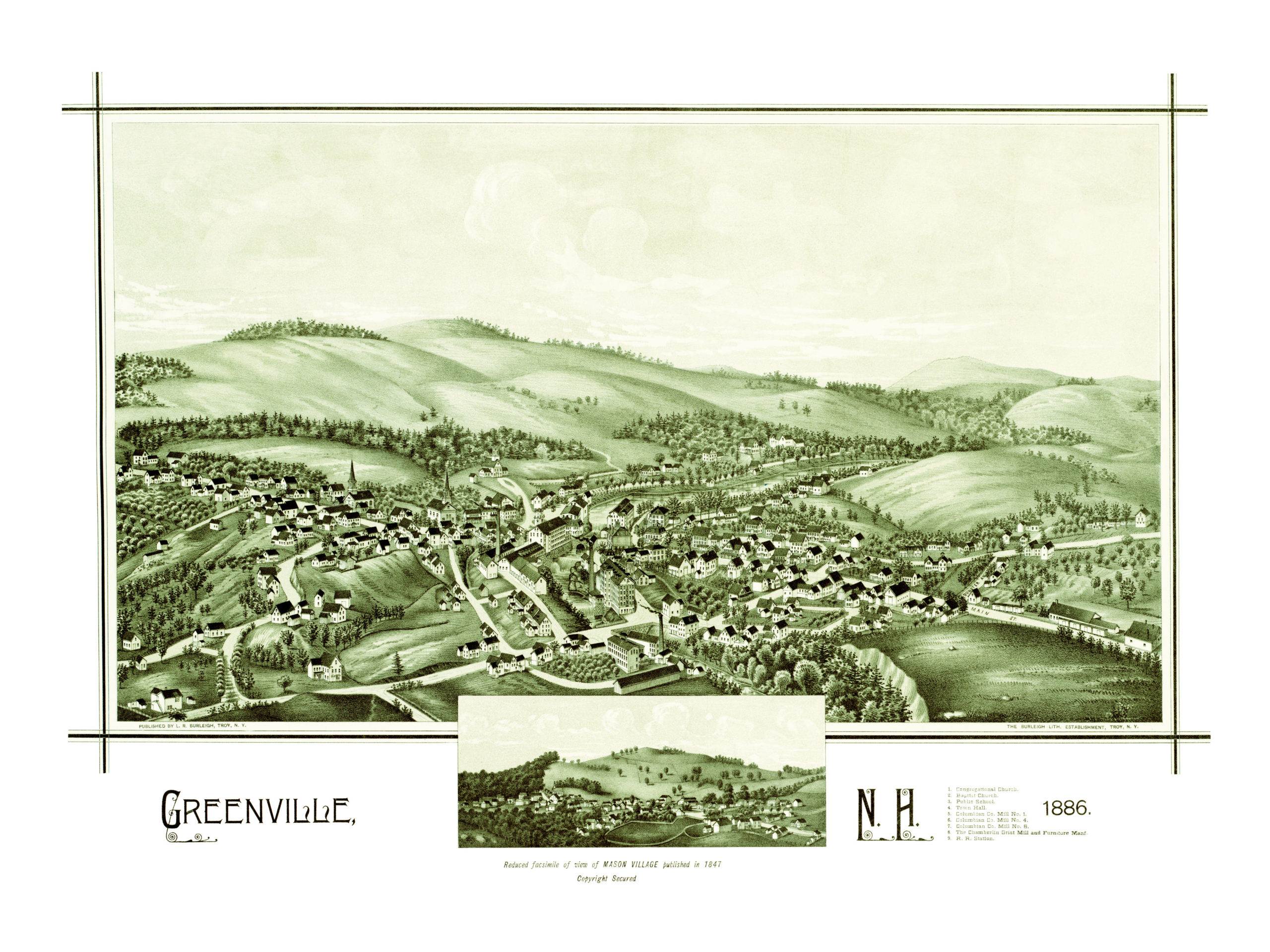
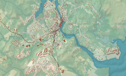
This map of Greenville will make an attractive addition to your office, library, or den, and can even be used to teach children the geography and history of the area. When you’re done exploring, click here to get your copy.