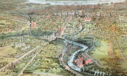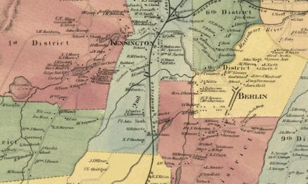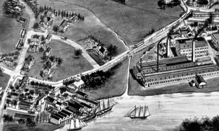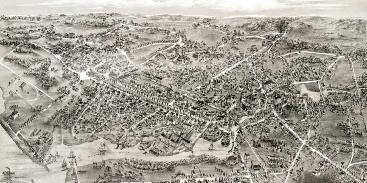
This historic map of Milford, Connecticut was created in 1882 by O.H. Bailey, a prominent 19th century map maker. The map shows a bird’s eye view of the town as it used to be, including street names and old landmarks.
Landmarks on the map include Milford Hotel, Post Office, Baldwin’s Straw Works, Box Manufactory, Steam Power, Savings Bank, Milford Driving Park, Masonic Hall, Odd Fellow Hall, multiple churches, and more.
This historic map of Milford was restored by KNOWOL. Reproductions of the restored map are available here.
Bird’s Eye View of Milford, Connecticut in 1882
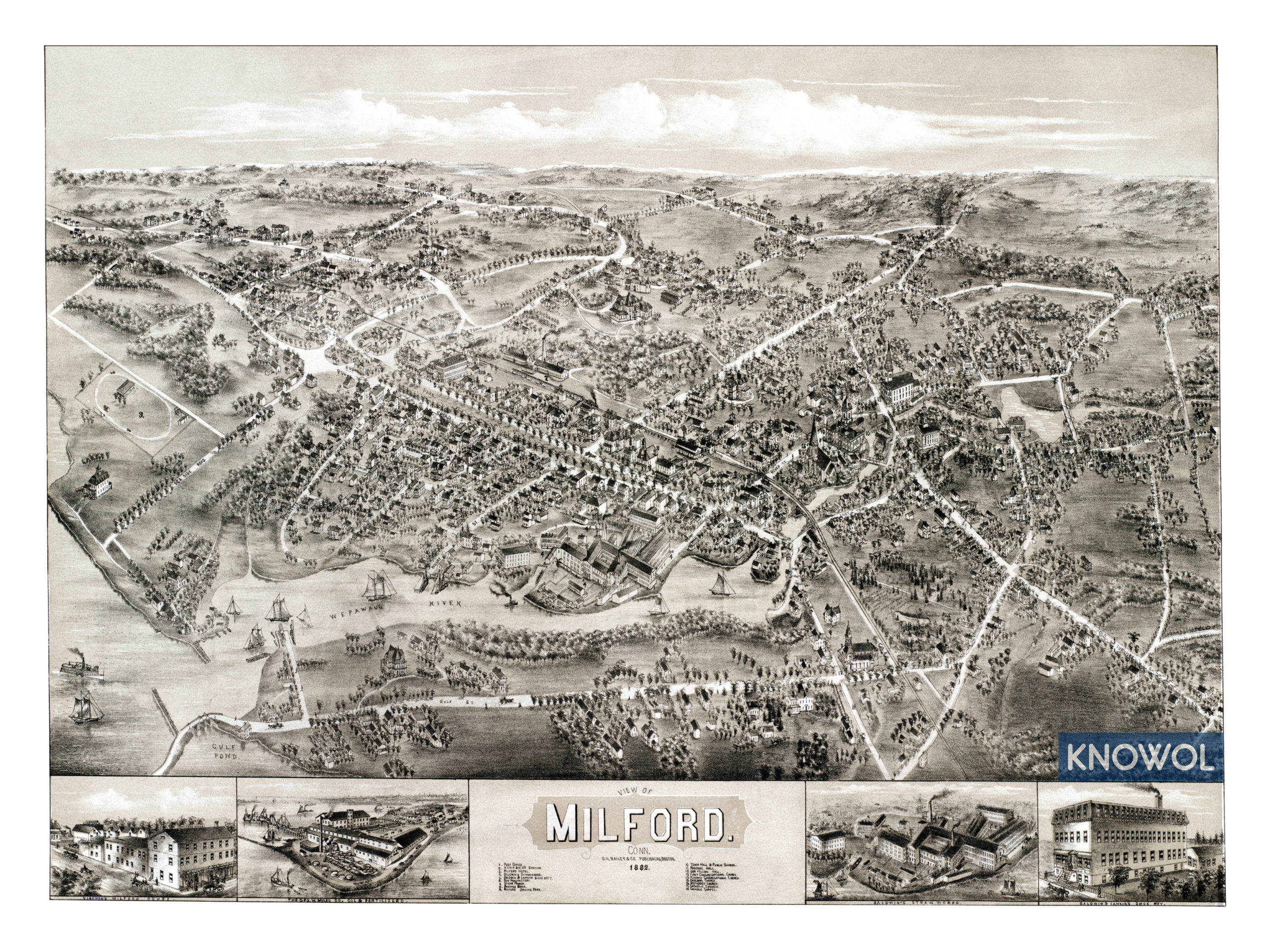
This vintage map of Milford makes an attractive addition to your office, library, or den and can even be used to teach children the geography and history of the area. When you’re done exploring, click here to get your copy.