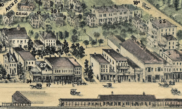
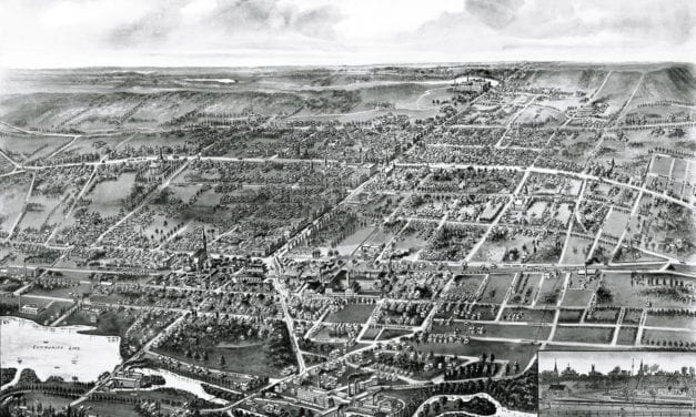
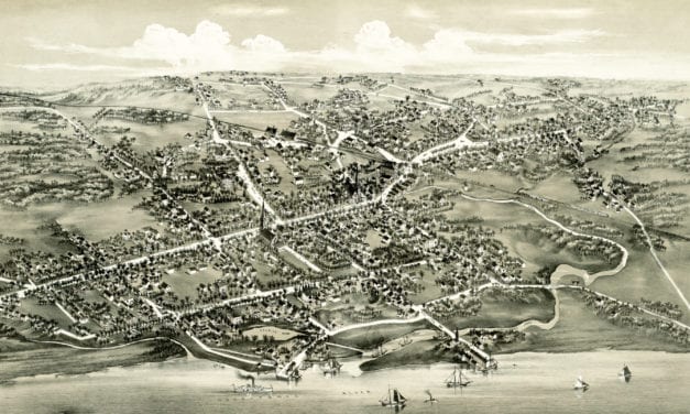
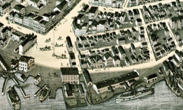
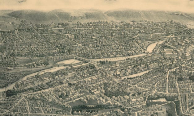
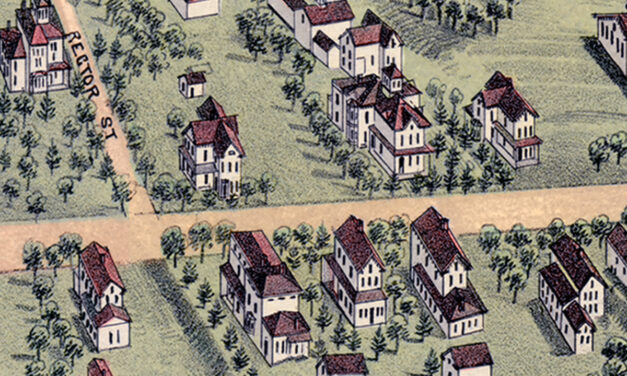
State archive

Connecticut

Browse historical articles, vintage map research, and collectible print discoveries connected to Connecticut.

Archive results

Browse the collection

Connecticut

Vintage Property Map of Easton, Connecticut from 1867

This vintage landowners map of Easton, Connecticut was created in 1867 by Frederick W. Beers. a prominent 19th century map maker. Beers was a prominent American map maker and publisher during the 19th century. He began his career as a civil engineer and surveyor, and later established the firm of F.W. Beers, A.D. Ellis & Co. in 1866.

Connecticut

Historic Beauty of Connecticut’s Merritt Parkway Bridges

The Merritt Parkway was the first divided-lane, limited-access highway in Connecticut.

Connecticut

Vintage hand-colored map of Connecticut from 1857

This beautiful hand drawn map of Connecticut was created in 1857 by Laura Roys, a student who attended Hartford Female Seminary, an all-female academy in Hartford, Connecticut. The map is beautifully colored, with shades of blue, orange, red, pink, yellow, and violet adorning the border of each city and town.

Connecticut

Beautifully detailed map of Wallingford, CT from 1905

Wallingford, Connecticut in the 19th century.

Connecticut

Historic map of Stratford, Connecticut from 1882

Historic bird's eye view of Stratford, Connecticut from 1882

Connecticut

Beautifully restored map of New London, Connecticut from 1876

Bird's eye view of New London, Connecticut in 1876

Connecticut

Beautifully restored map of Ansonia, Connecticut from 1921

Old map showing an aerial view of Ansonia, Connecticut from 1921

Connecticut

10 amazing old pictures reveal forgotten history of Hartford, CT

Hartford is the capital of Connecticut and one of the oldest cities in the United States. It is home to the nation's oldest public art…

Bridgeport, Connecticut

YMCA of Bridgeport, CT

Bridgeport's Young Men's Christian Association was formed in June, 1883, and the association was incorporated one year later. In October, 1888, Dr. I. de…

Bridgeport, Connecticut

The Chicken Roost in Bridgeport

The Chicken Roost was a restaurant in Bridgeport, CT that was famous for its "As You Like It" southern fried chicken.

Connecticut

12 fascinating pictures of the University of Connecticut in the 1950’s

The University of Connecticut began its history in 1880, when two brothers...

Connecticut

9 beautiful old pictures of Berlin Turnpike landmarks

The Berlin Turnpike is a roadway in Connecticut that served as the primary route connecting Hartford and New Haven during the 1940's - 1960's. The…

Connecticut

9 historic images reveal the colorful history of Ansonia, CT

Ansonia is a city in New Haven County, Connecticut that was first settled by...

Connecticut

Lake Compounce in the 1950’s, vintage images of CT’s oldest amusement park

Lake Compounce, located in Bristol and Southington, CT, is America’s oldest...

Connecticut

24 amazing old images reveal forgotten historical treasures of New Haven, CT

New Haven is the second largest city in Connecticut. The city was founded in...

Connecticut

19 historic pictures of Stamford’s Dolan Middle School

Generations of Stamford, Connecticut residents have attended Dolan Middle...

Connecticut

14 beautiful old pictures reveal lost grandeur of Bridgeport, CT

Bridgeport is a seaport city in the U.S. state of Connecticut. It is the largest city in the...

Connecticut

Stunning vintage map of New Milford, CT from 1882

This vintage map shows New Milford, Connecticut as it looked in 1882.

Connecticut

Beautiful vintage map of Forestville, CT from 1880

This old map shows the Forestville section of what is now known as Bristol, Connecticut.

Connecticut

Beautifully restored map of Norwich, CT from 1876

This old map shows Norwich, Connecticut as it looked in 1876.

Connecticut

Beautifully illustrated map of Connecticut from 1926

Beautiful old map of the Nutmeg State illustrated with unique vintage drawings.