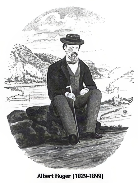
Born in 1829 in Prussia, Albert Ruger emigrated to the United States and transformed his career from a mason to a pivotal figure in panoramic mapping. This 19th-century innovation offered an aerial view of urban landscapes, introducing viewers to a new perspective of towns and cities.
Early Years and Civil War Contributions
Ruger’s notable shift to cartography began during his service with the Ohio Volunteers in the Civil War. He sketched Union campsites, including Camp Chase in Ohio and Stephenson’s Depot in Virginia. His post-war work captured significant moments, like Lincoln’s funeral procession in Columbus, Ohio, through detailed lithographs.
A New Horizon in Michigan
In 1866, settling in Battle Creek, Michigan marked the start of Ruger’s illustrious mapping career. He produced the first birds-eye view map of Ann Arbor, Michigan, showcasing his talent for capturing intricate city details. This achievement set the stage for Ruger’s nationwide recognition.
Expanding His Craft Across America
Ruger’s collaboration with J.J. Stoner in the late 1860s broadened his impact. They published numerous city panoramas, making 1869 a landmark year with over sixty maps. Ruger sketched urban areas from New Hampshire to Georgia, covering twenty-two states and Canada.
Methodology and Legacy
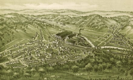
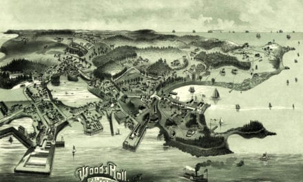
Though Ruger’s precise methods remain partly unknown, he combined field surveys, existing maps, and possibly balloon observations to sketch cities from imagined aerial viewpoints. His maps, celebrated for their detail and historical value, remain sought after by historians and collectors alike.
Ruger passed away in 1899, but his legacy endures through his panoramic maps. These works continue to be admired for their artistic and historical significance, offering a glimpse into the urban development of 19th-century America.