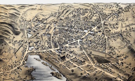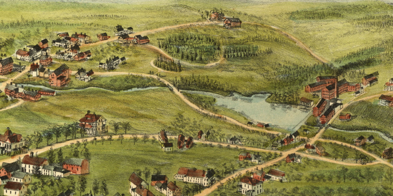
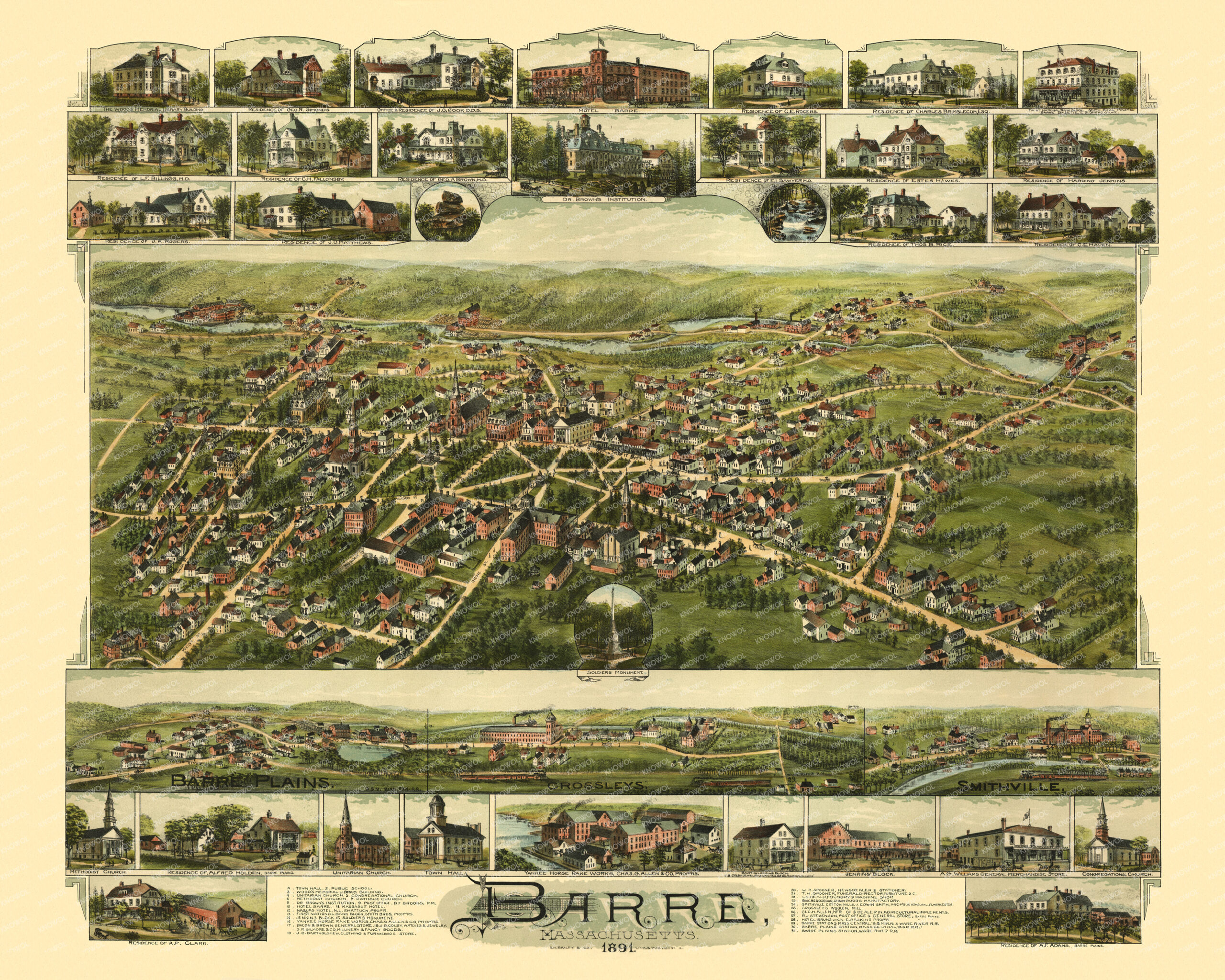
This vintage map of Barre, Massachusetts was created in 1891 by O.H. Bailey, a prominent 19th century map maker. The map shows a bird’s eye view of Barre as it once was, including street names and old landmarks.
This bird’s-eye view provides a fascinating glimpse of the town at the height of its prosperity. Landmarks on the map include Town Hall, Wood’s Memorial Library, Naquag Hotel, First National Bank, Yankee Horse Rake Works, Bacon & Brown General Store, Hotel Barre, Smithville Cotton Mills, Dr. Brown’s Institution, Bartholomew Clothing & Furnishings, Foundry and Machine Shop, Crossley’s Woolen Mill, Barre Plains Station, Post Office, Hotel Brunswick and more.
This vintage map of Barre in 1891 has been lovingly restored by KNOWOL. Reproductions of the restored map are available here.
Bird’s Eye View of Barre, Massachusetts in 1891
This beautifully restored map of Barre makes an attractive addition to your office, library, or den and can even be used to teach children the geography and history of the area. When you’re done exploring, click here to get your copy of the restored map.