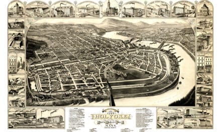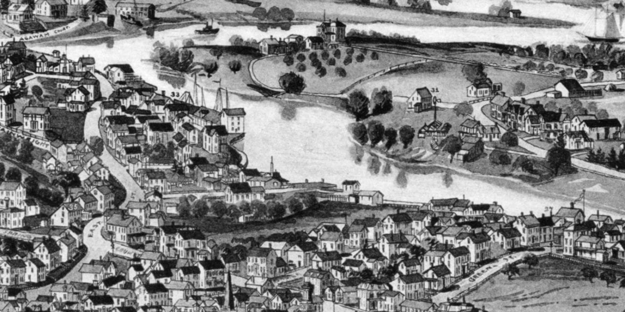
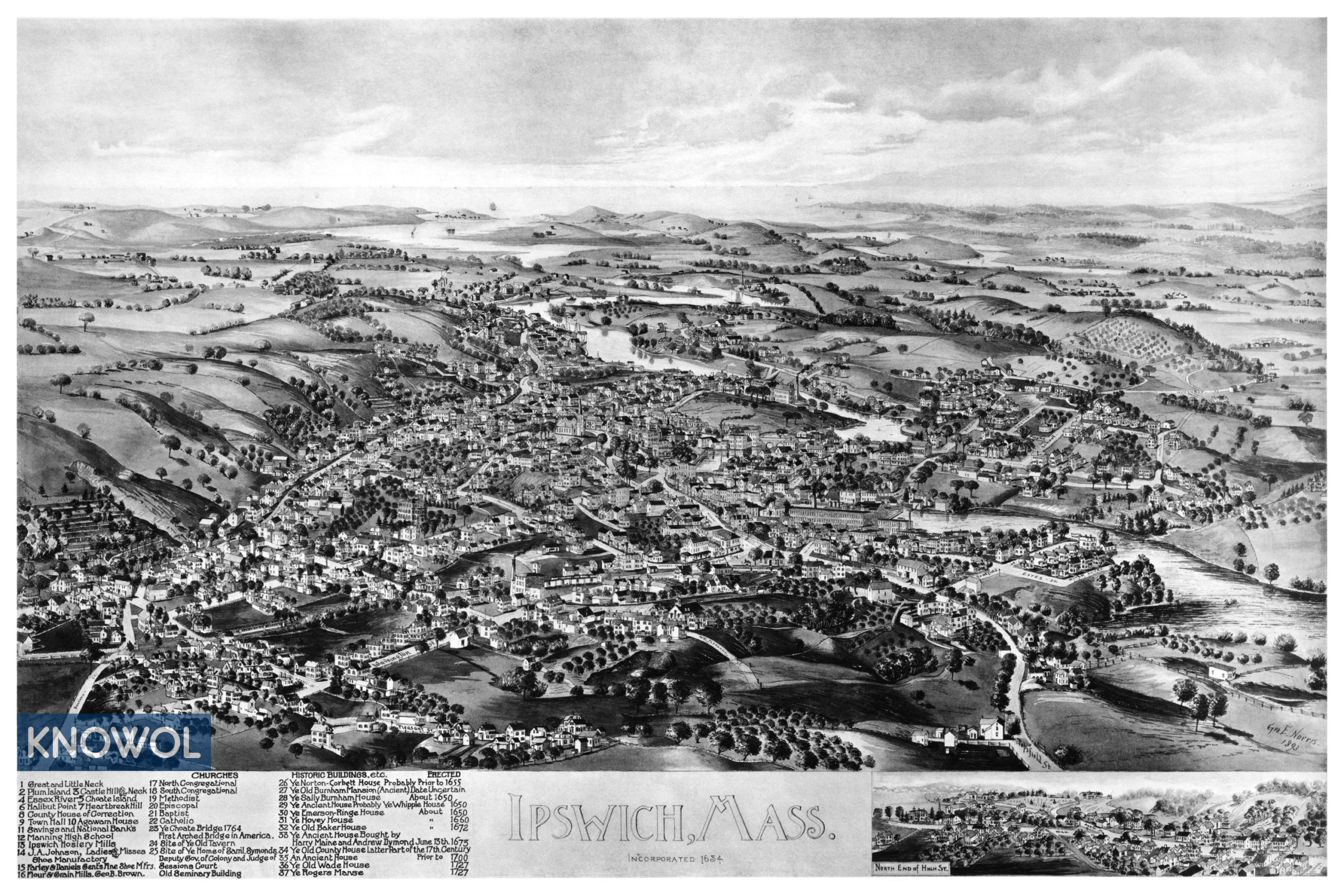
This historic map of Ipswich, Massachusetts was created in 1893 by George Norris, a prominent 19th century map maker. The map shows a bird’s eye view of the town as it used to be, including street names and old landmarks.
Landmarks on the map include Great and Little Neck, Plum Island, Essex River, Choate Island, Halibut Point, Heartbreak Hill, Town Hall, Manning High School, Ipswich Hosiery Mills, Old Seminary Building, Ye Old Baker House, and more.
This historic map of Ipswich has been restored by KNOWOL. Reproductions of the restored map are available here.
Historic Old Map of Ipswich, Massachusetts from 1893
This vintage map of Ipswich makes an attractive addition to your office, library, or den, and can even be used to teach children the geography and history of the area. When you’re done exploring, click here to get your copy of the restored map.