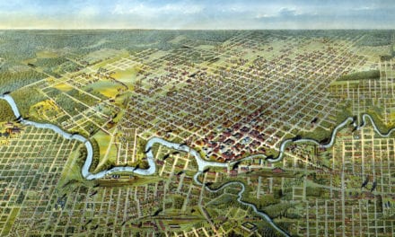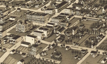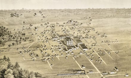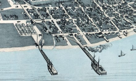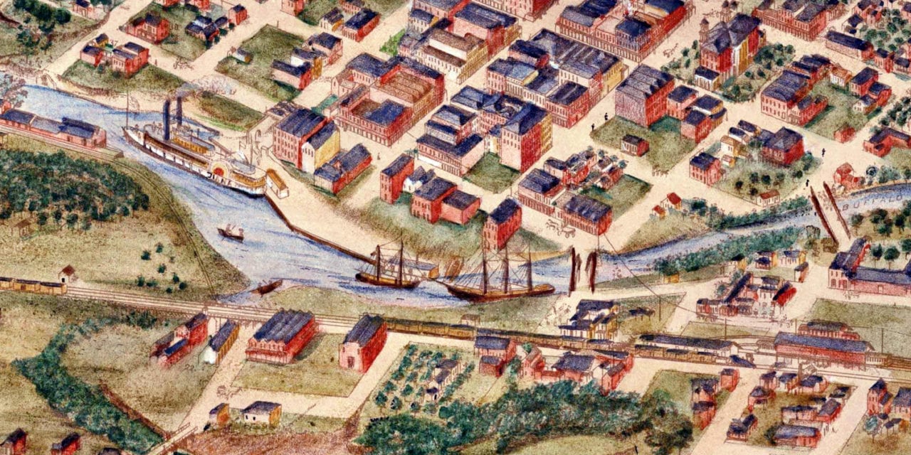
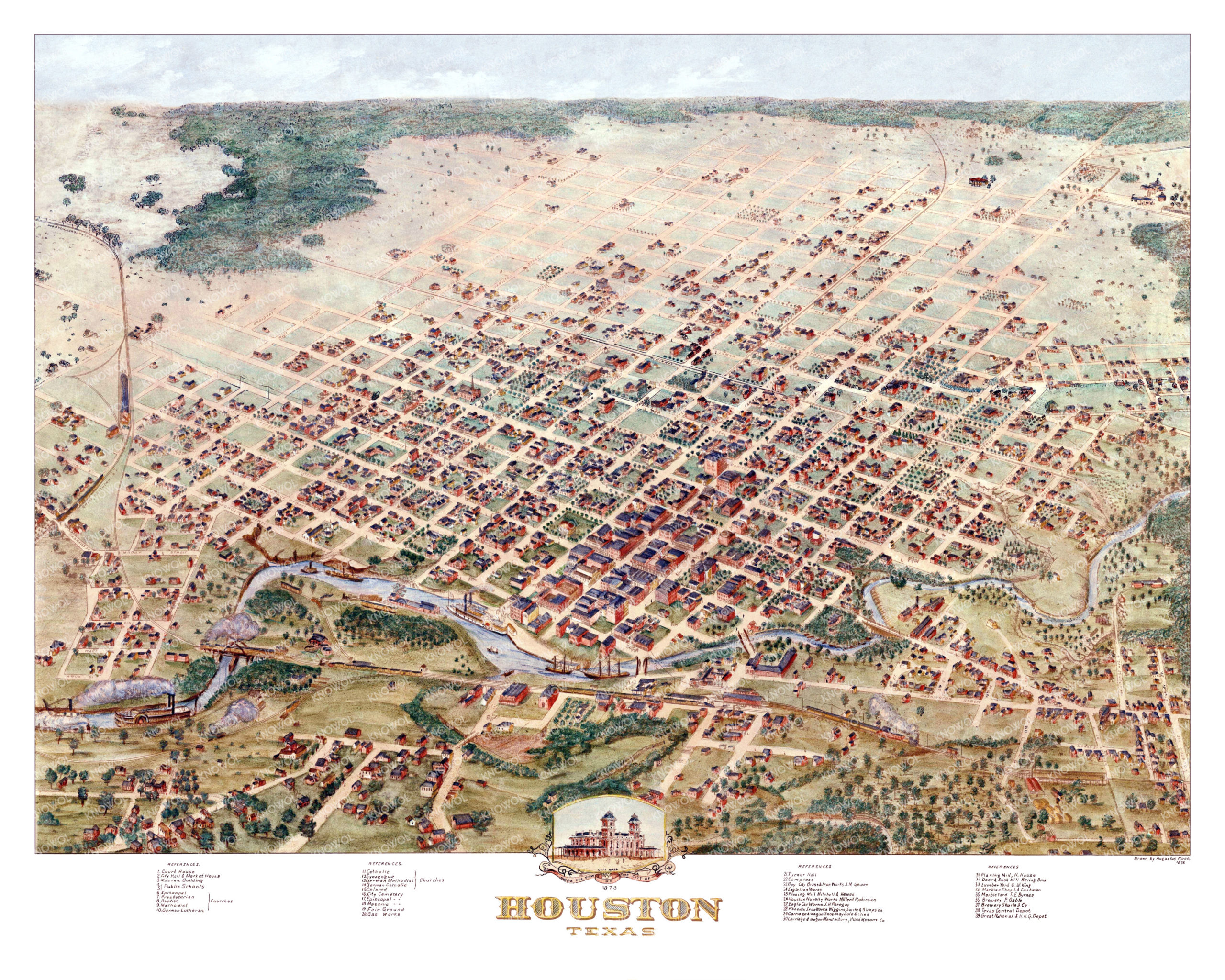
This historic map of Houston, Texas was created in 1873 by Augustus Koch, a prominent 19th century map maker. The map shows a bird’s eye view of the city as it used to be, including street names and old landmarks.
Landmarks on the map include City Hall & Market House, Shuite Brewery, Gable Brewery, Byrnes Marble Yard, Cashman’s Machine Shop, Texas Central Depot, Masonic Building, Public Schools, Fair Grounds, Houston Gas Works, Turner Hall, Boy City Brass & Iron Works, Eagle Iron Works, Carriage & Wagon Shops, and more.
This historic map of Houston was restored by KNOWOL. Reproductions of the restored map are available here.
Historic Old Map of Houston, Texas from 1873
This vintage map of Houston makes an attractive addition to your office, library, or den, and can even be used to teach children the geography and history of the area. When you’re done exploring, click here to get your copy of the restored map.