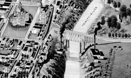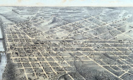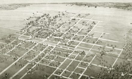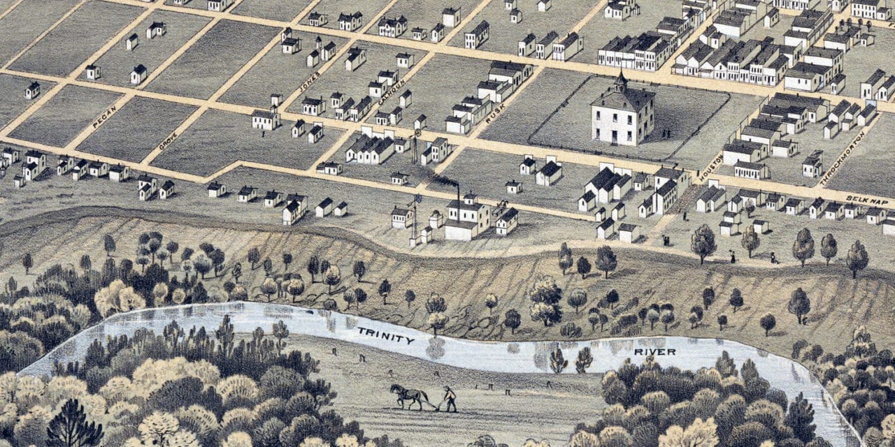
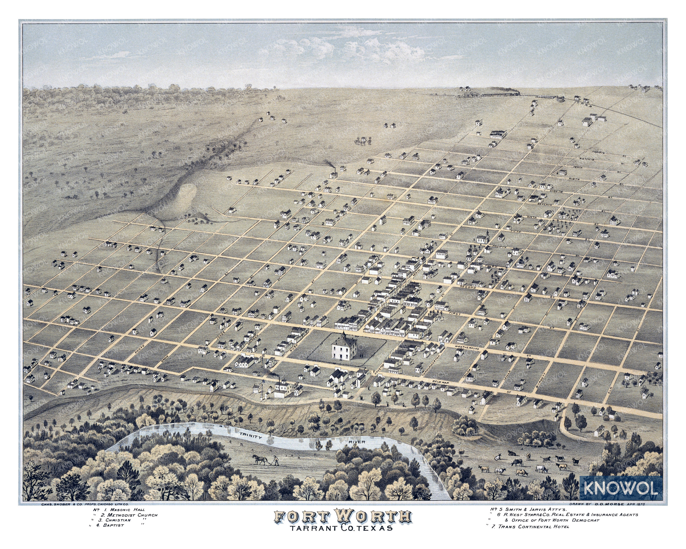
This historic map of Fort Worth, Texas was created in 1876 by Augustus Koch, a prominent 19th century map maker. The map shows a bird’s eye view of the city as it used to look, including street names and old landmarks.
Landmarks on the map include Fort Worth Masonic Hall, Trinity River, Smith & Jarvis Attorneys, Starr & Company Real Estate & Insurance, Trans Continental Hotel, various churches, and more.
This historic map of Fort Worth has been restored by KNOWOL. Reproductions of the restored map are available here.
Historic Old Map of Fort Worth, Texas from 1876
This vintage map of Fort Worth makes an attractive addition to your office, library, or den, and can even be used to teach children the geography and history of the area. When you’re done exploring, click here to get your copy of the restored map.