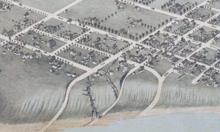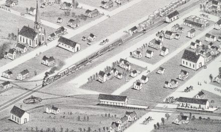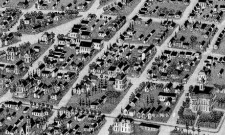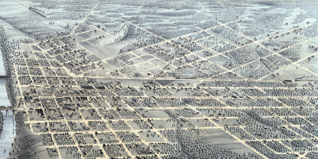
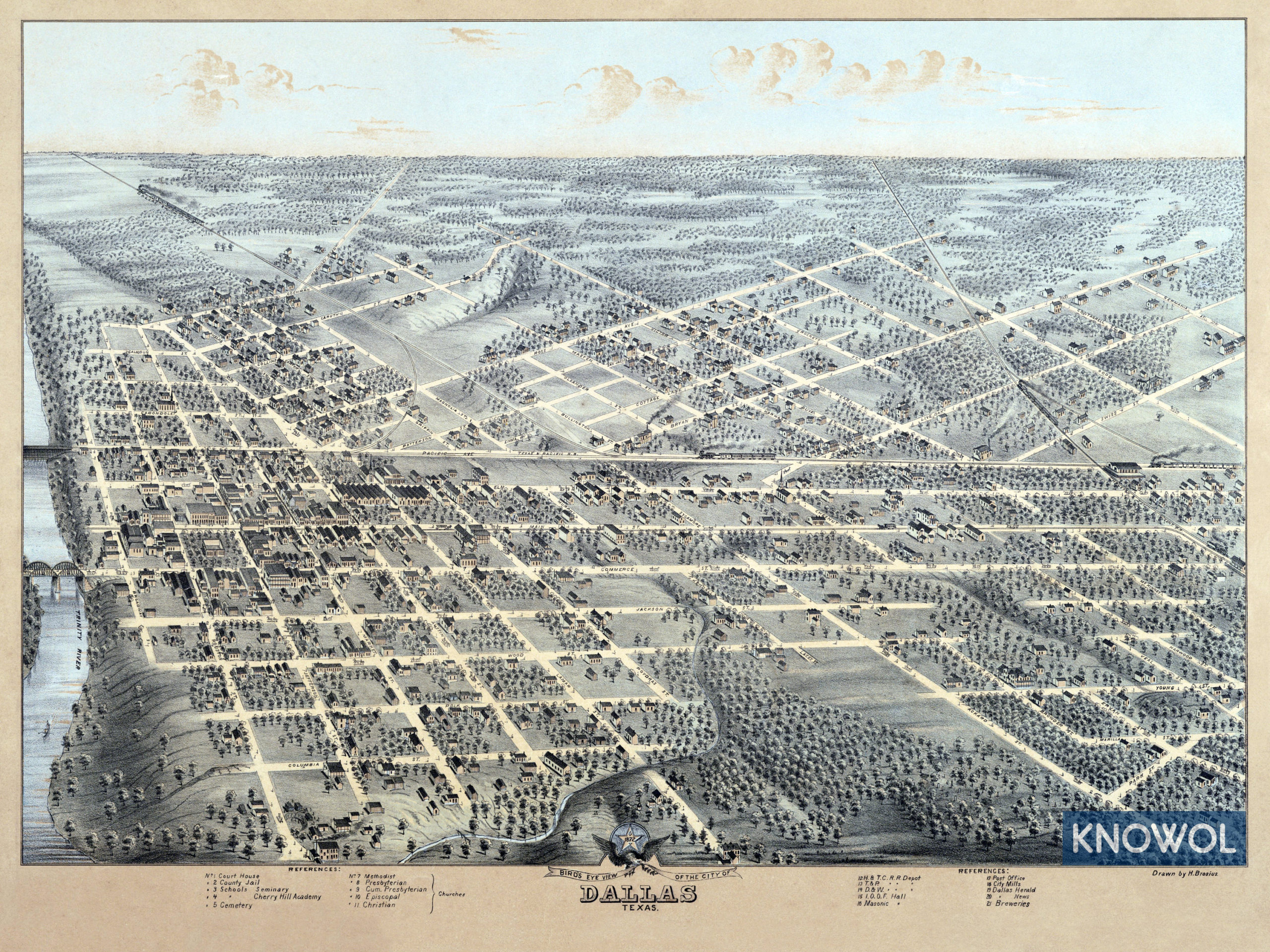
This historic map of Dallas, Texas was created in 1872 by Herman Brosius, a prominent 19th century map maker. The map shows a bird’s eye view of Dallas as it used to be, including street names and old landmarks.
Landmarks on the map include Cherry Hill Academy, Methodist, Presbyterian, Episcopal, & Christian Churches, Houston & Texas Central Railroad Depot, Masonic Hall, City Mills, Breweries, County Jail, Courthouse, and more.
This historic map of Dallas, TX has been restored by KNOWOL. Reproductions of the restored map are available here.
Bird’s Eye View of Dallas, Texas in 1872
This old map of Dallas will make an attractive addition to your office, library, or den and can even be used to teach children the geography and history of the area. When you’re done exploring, click here to get your copy.