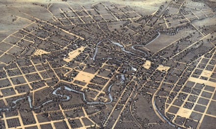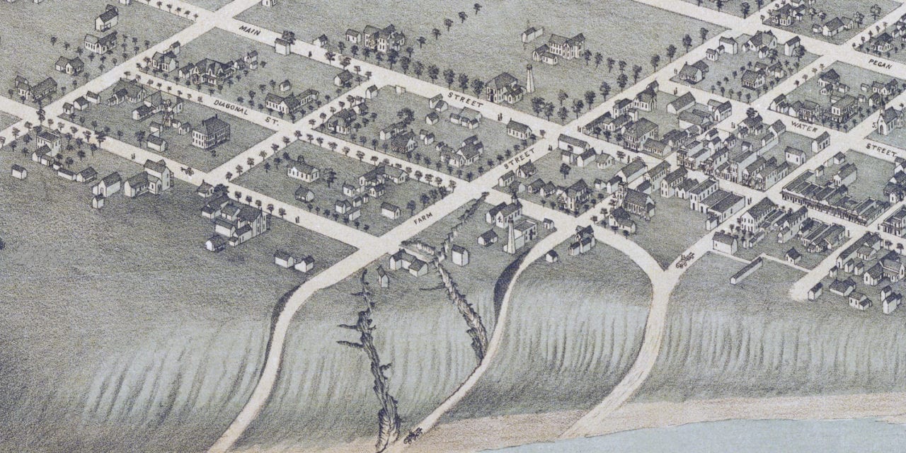
This historic map of Bastrop, Texas was created in 1887 by Augustus Koch, a prominent 19th century map maker. The map shows a bird’s eye view of the area as it used to be, including street names and old landmarks.
Landmarks on the map include Bastrop Court House, Academy, Episcopal Church, Methodist Episcopal Church, Roman Catholic Church, Masonic Temple, the Colorado River, and more.
This historic map of Bastrop has been restored by KNOWOL. Reproductions of the restored map are available here.
Historic Old Map of Bastrop, Texas from 1887
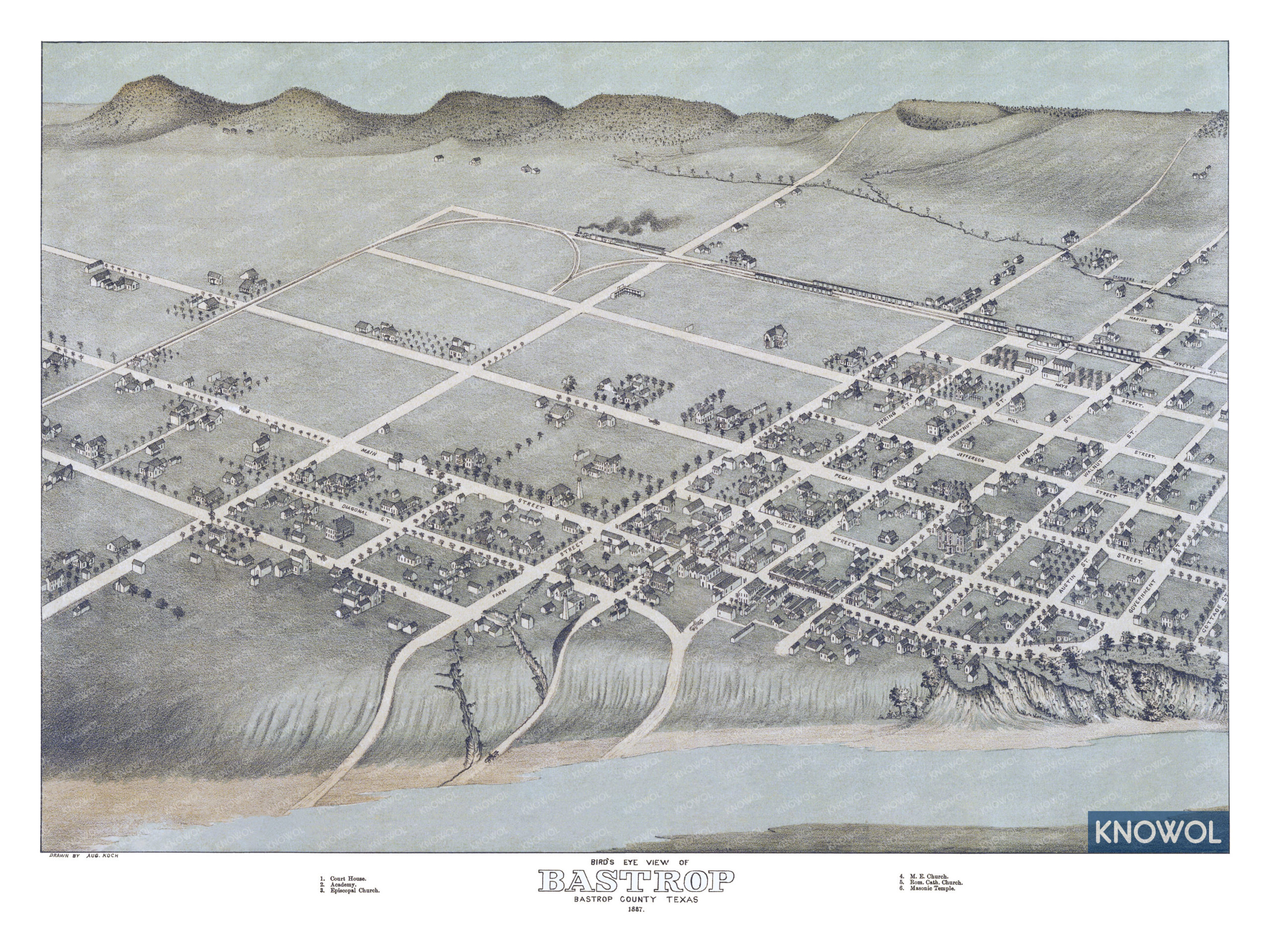
This vintage map of Bastrop makes an attractive addition to your office, library, or den, and can even be used to teach children the geography and history of the area. When you’re done exploring, click here to get your copy of the restored map.