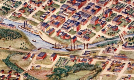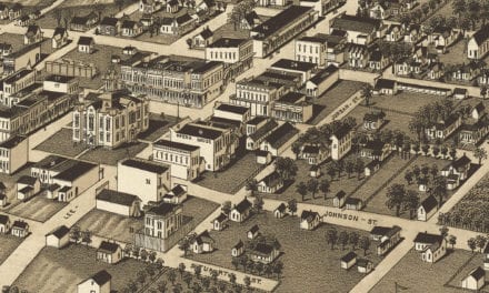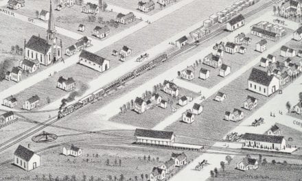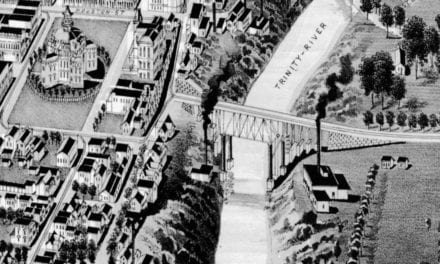
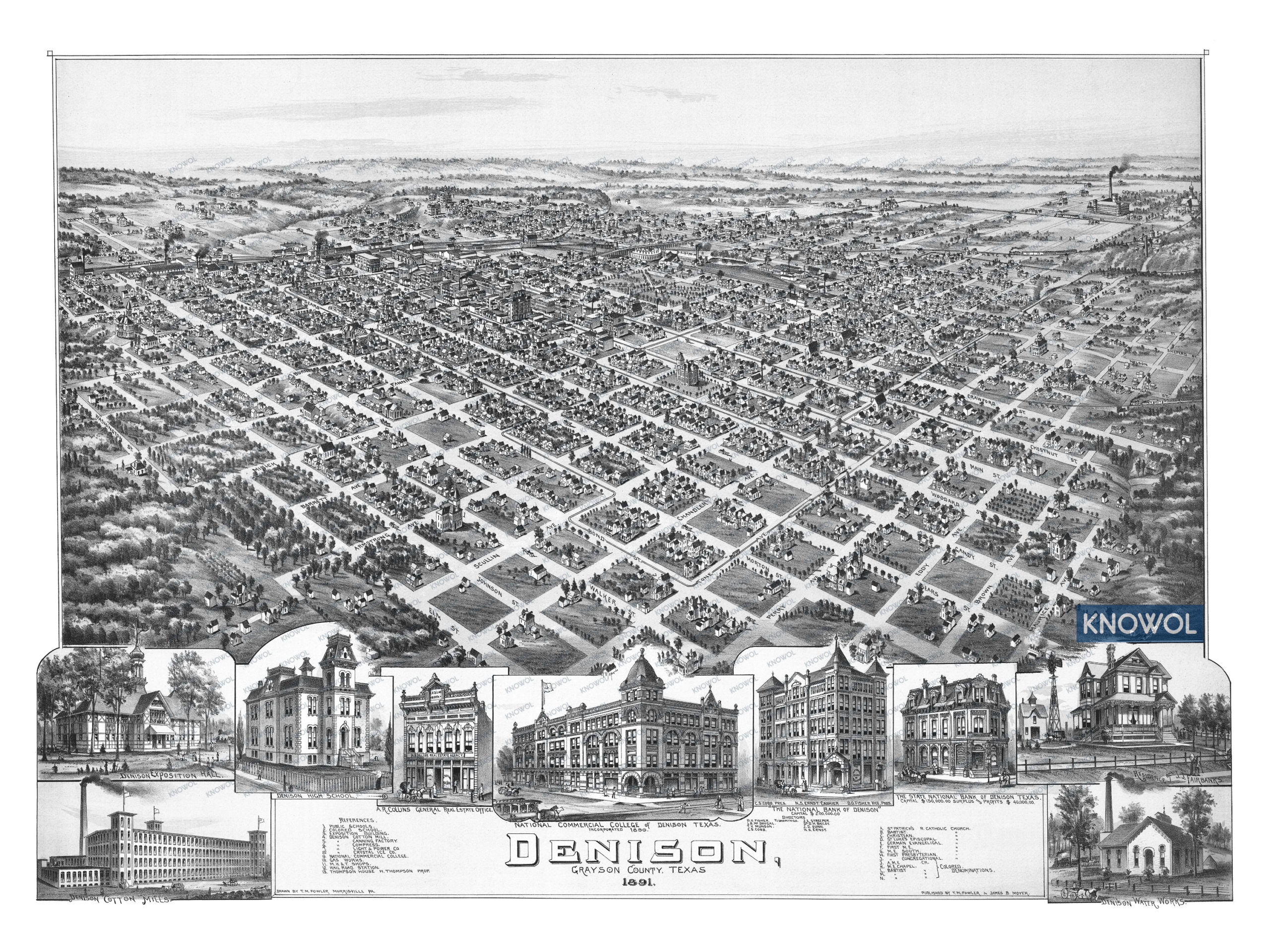
This historic map of Denison, Texas was created in 1891 by Thaddeus Mortimer Fowler and James B. Moyer, prominent 19th century map makers. The map shows a bird’s eye view of the area as it used to be, with street names and old landmarks.
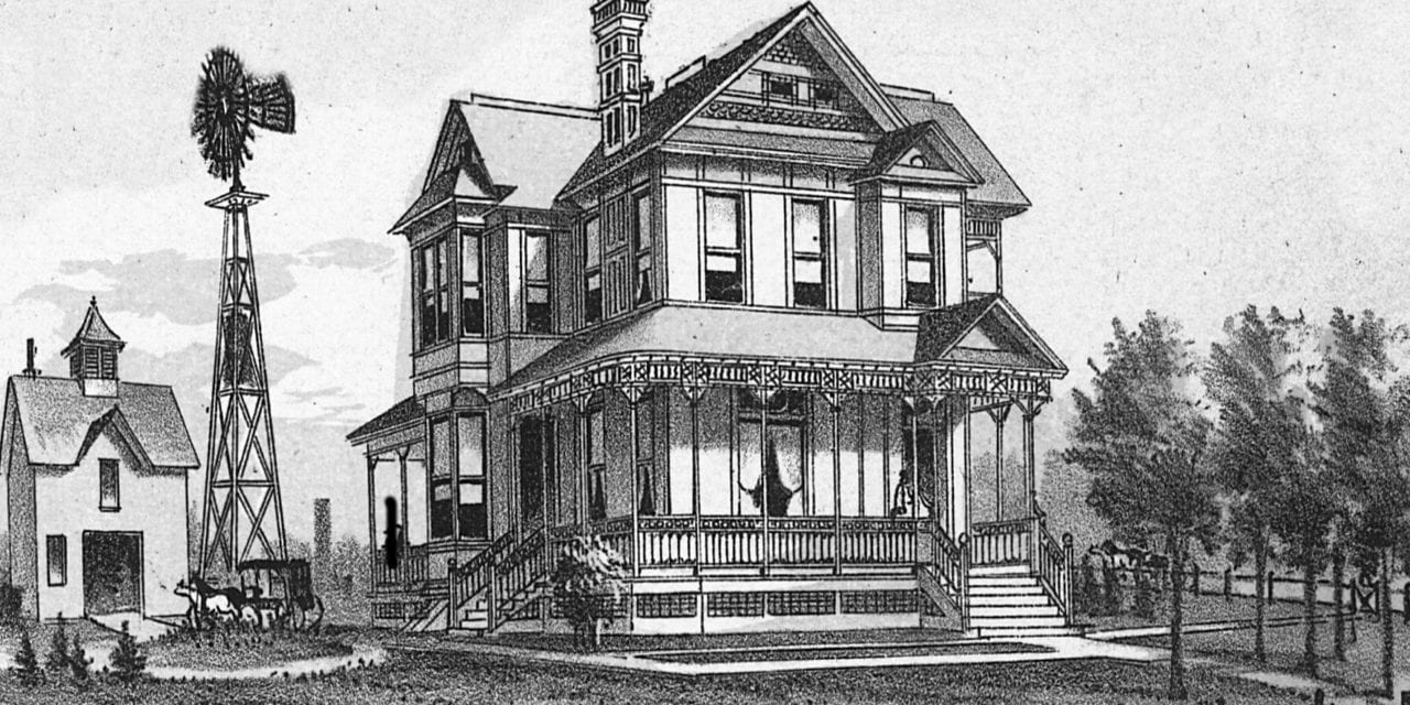
Landmarks on the map include Denison High School, Denison Cotton Mill, Exposition Building, National Commercial College, Thompson House, Crystal Ice Company, The National Bank of Denison, Railroad Station, a wide variety of churches, and more.
This historic map of Denison was restored by KNOWOL. Reproductions of the restored map are available here.
Historic Old Map of Denison, Texas from 1891
This vintage map of Denison makes an attractive addition to your office, library, or den and can even be used to teach children the geography and history of the area. When you’re done exploring, click here to get your copy of the restored map.