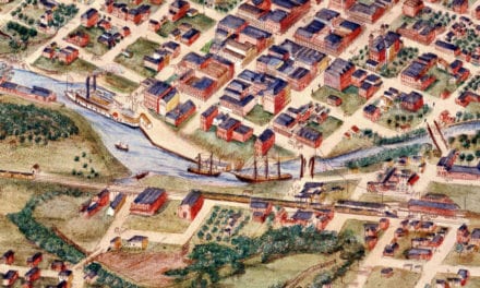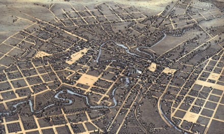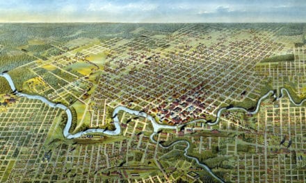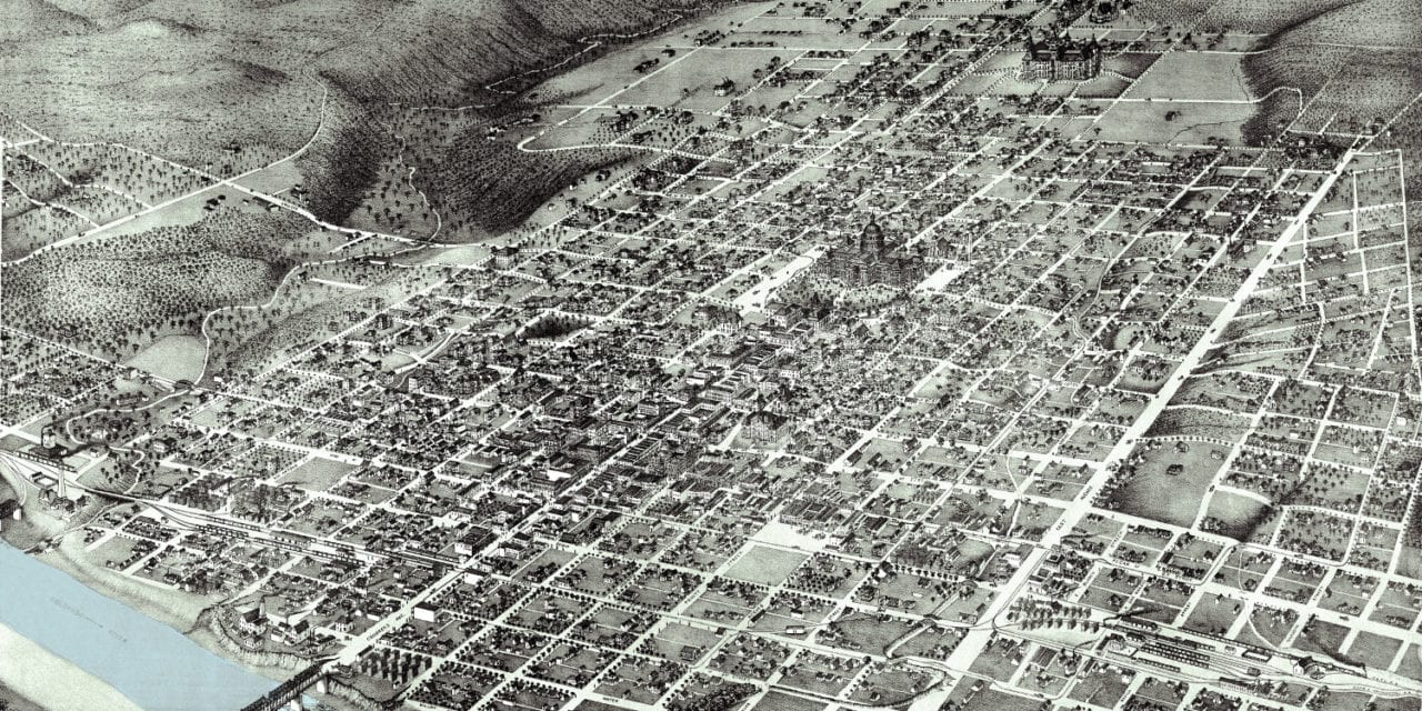
In 1887, Cartographer Augustus Koch created this bird’s eye view map of Austin, Texas. Offering a rare glimpse into the city’s historical landscape, this map not only captures Austin as it was but also serves as a visual archive of its urban fabric and architectural landmarks.
This map shows Austin at a time of transformation, evolving from a frontier town into a bustling state capital. The city’s grid was expanding, its streets lined with new public buildings and grand homes. The University of Texas had just been established, laying the foundation for Austin to become a center of education and culture. Meanwhile, iconic structures like the Driskill Hotel were rising, setting the stage for Austin’s future as a hub of commerce and social life. This era of change, captured in Koch’s map, reflects a city forging its identity amidst the vast Texas landscape.
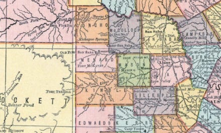
Notable sites include The University of Texas, Jewish Synagogue, Roman Catholic Church, Insane Asylum, Blind Asylum, Masonic Temple, Austin City Hospital, General Land Office, Governor’s Mansion, Millett Opera House, City Water Works, Driskill Hotel, and Calcasieu Lumber Yard.
KNOWOL has expertly restored this historic map of Austin. Reproductions of the restored map are available in various sizes in our shop.
Historic Old Map of Austin, Texas from 1887
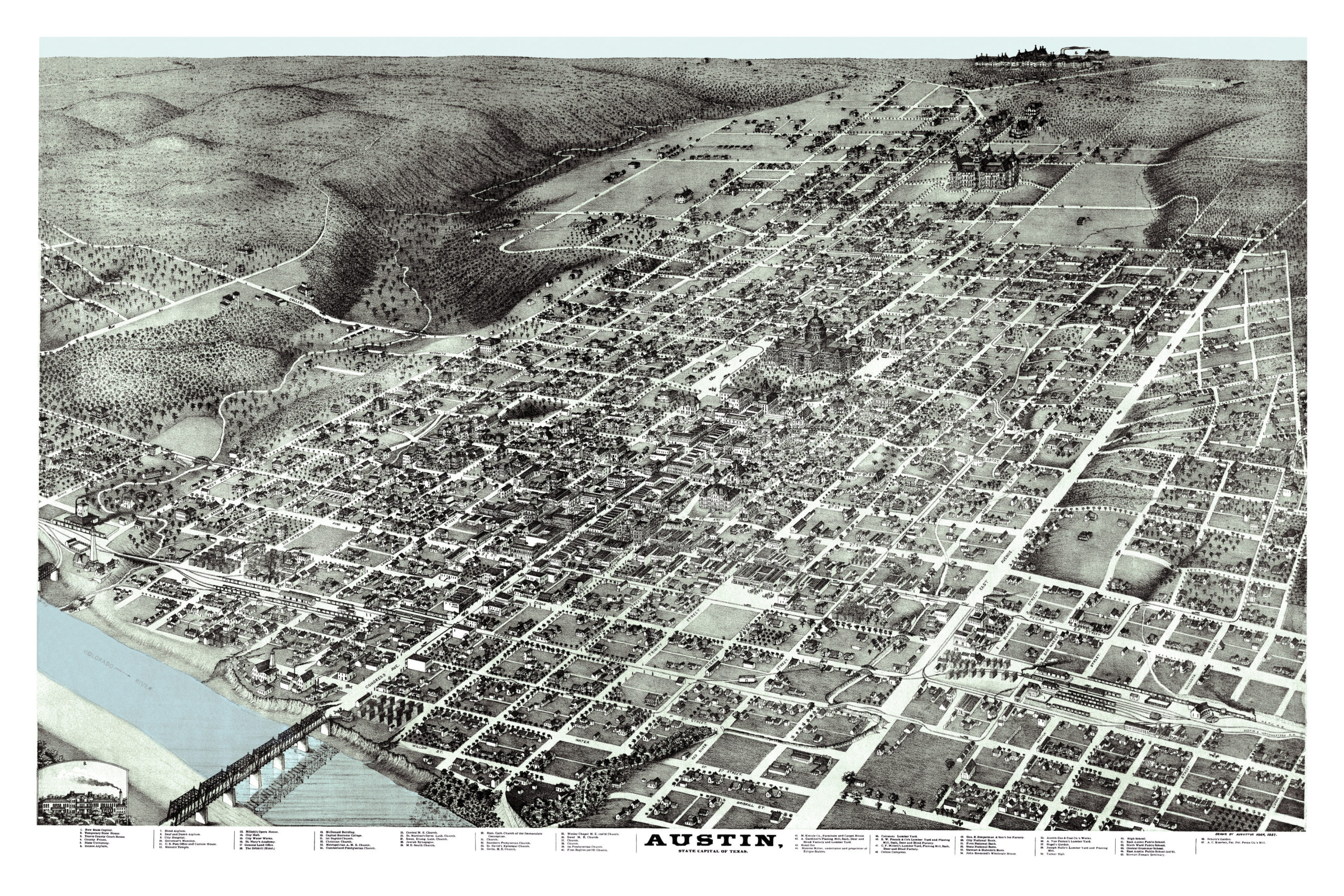
This map is an invaluable tool for educators, historians, and anyone interested in the evolution of cityscapes. It offers a detailed portrayal of a city on the cusp of change, plotting the streets and buildings that would define contemporary Austin. It serves as a snapshot of a growing city, laying out the streets and buildings that would shape modern Austin.
This piece of Austin’s history is more than decor; it is an educational asset that brings the city’s heritage to life. It promises to enhance any office, library, or den and serves as a valuable tool for imparting knowledge of geography and history to Austinites of all ages. When you’re done exploring, click here to get your copy of the restored map.