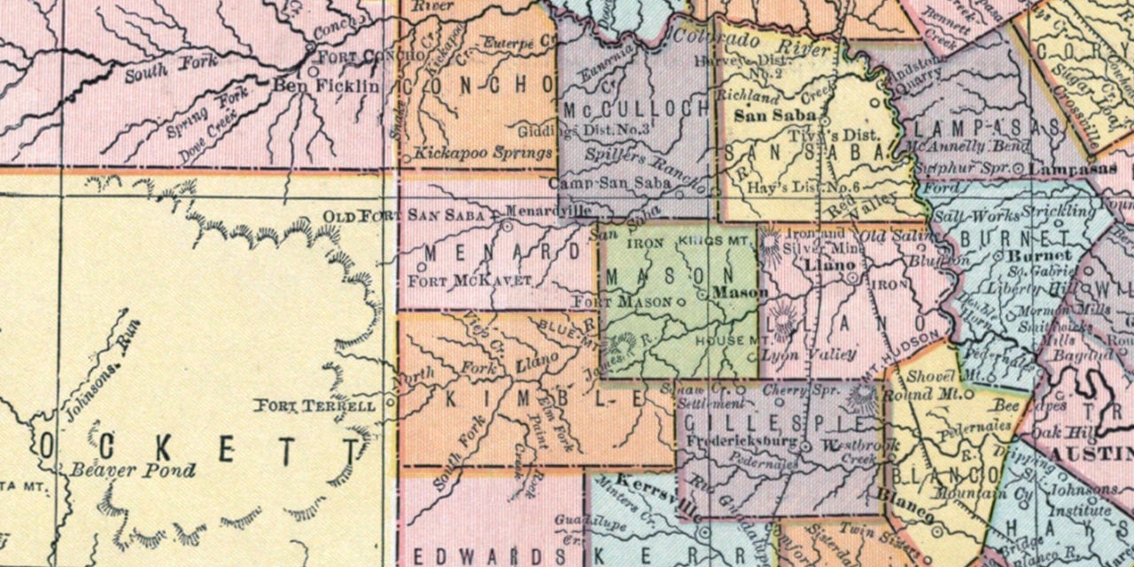
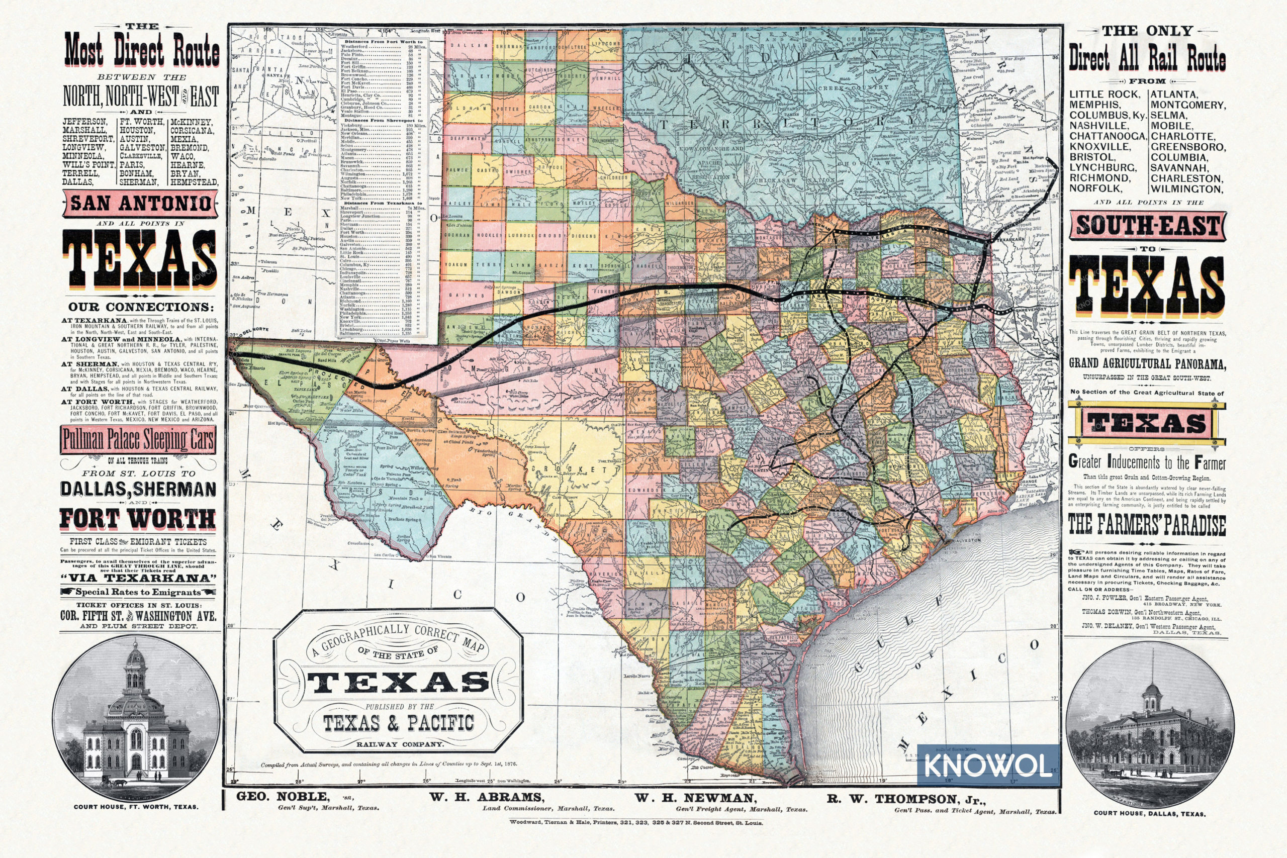
This historic map of Texas was published in 1876 by the Texas & Pacific Railway Company. The map was compiled from actual surveys and shows an accurate layout of Texas Counties as they were on September 1st, 1876.
The map shows stops at Jefferson, Marshall, Shreveport, Longview, Minneola, Will’s point, Terrell, Dallas, Ft. Worth, Houston, Austin, Mexia, Galveston, Clarksville, Paris, Bonham, Sherman, McKinney, Corsicana, Bremond, Waco, Hearne, Bryan, Hempstead, and more.
This historic map of Texas railways has been restored by KNOWOL. Reproductions of the restored map are available here.
Historic Railroad Map of Texas from 1876
This vintage map of Texas makes an attractive addition to your office, library, or den, and can even be used to teach children the geography and history of the area. When you’re done exploring, click here to get your copy of the restored map.