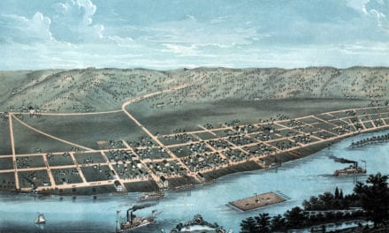
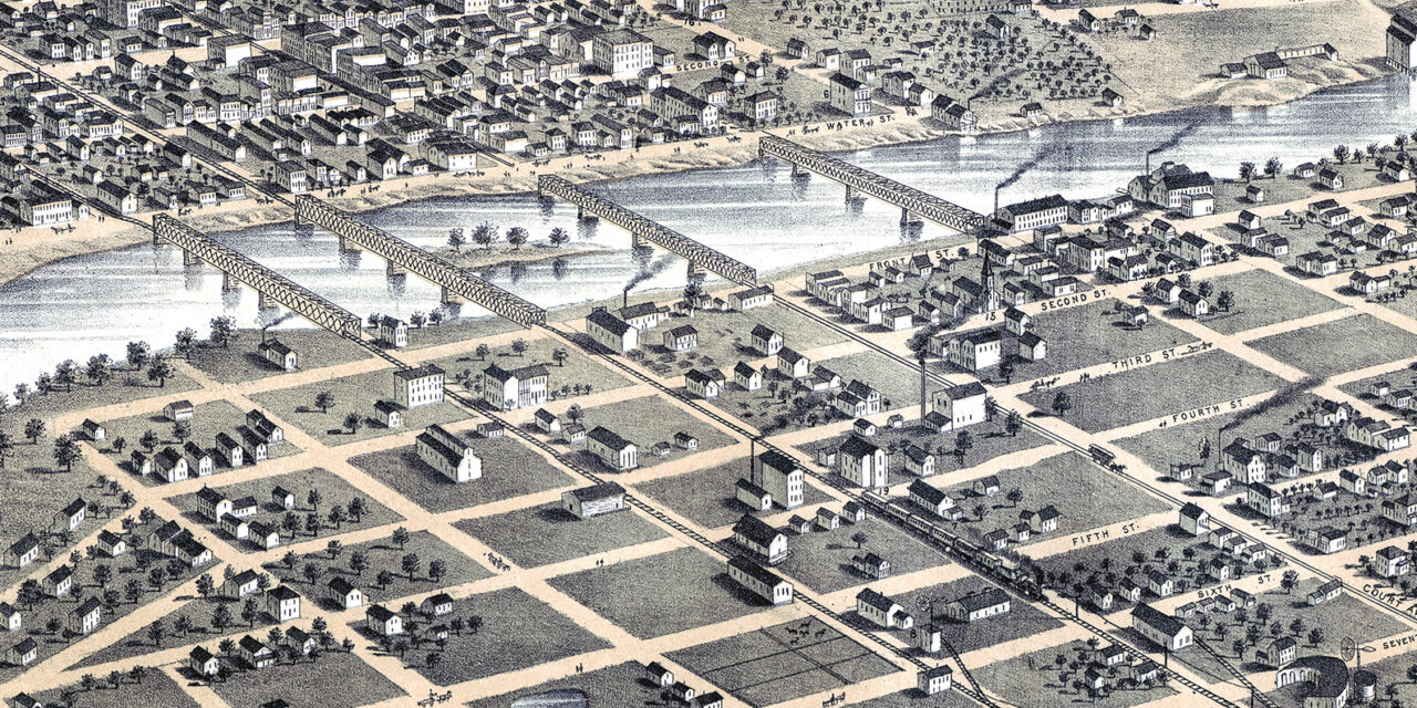
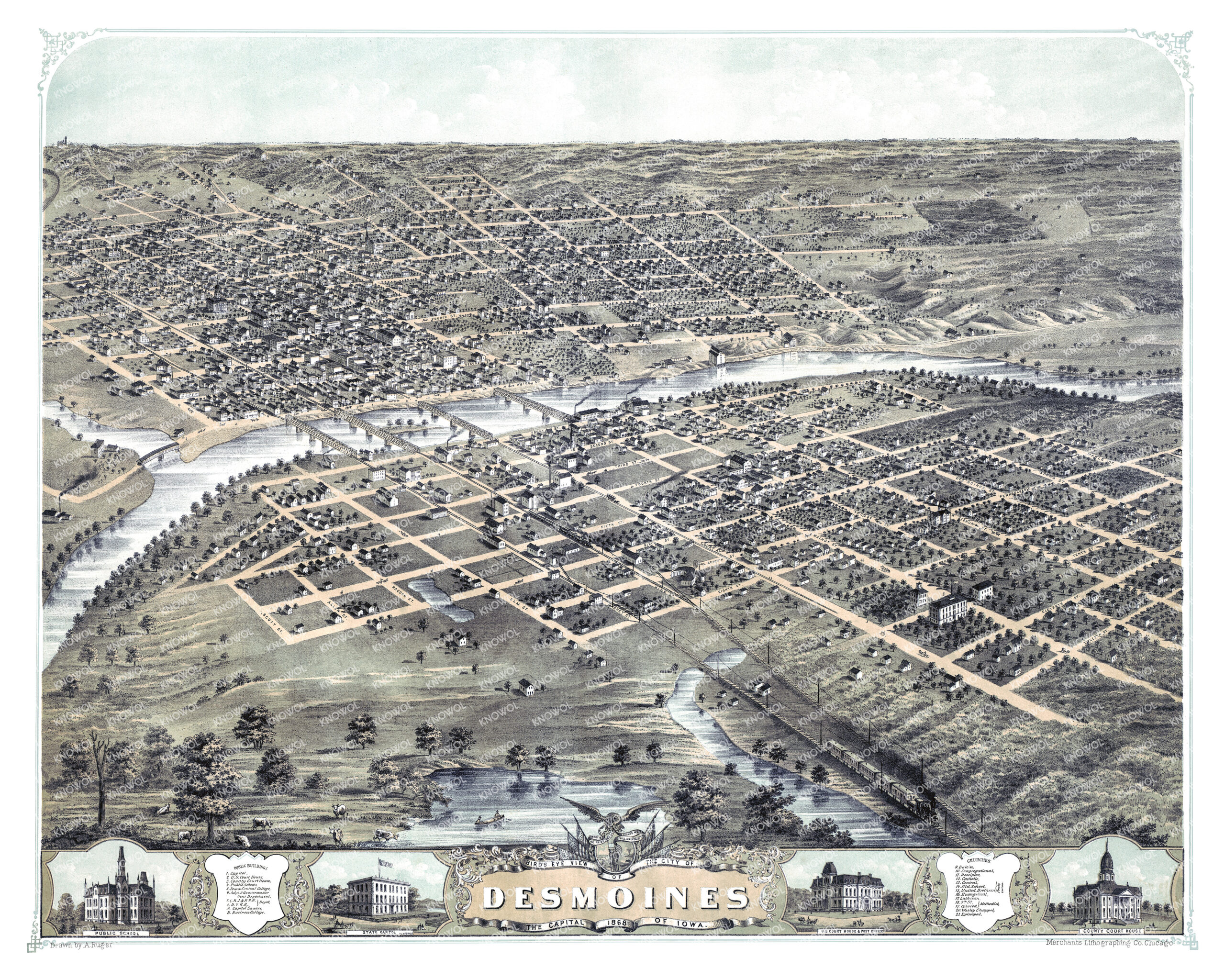
This vintage map of Des Moines, Iowa was created in 1868 by Albert Ruger, a prominent 19th-century map maker. The map shows a bird’s eye view of Des Moines as it once was, including street names and old landmarks.
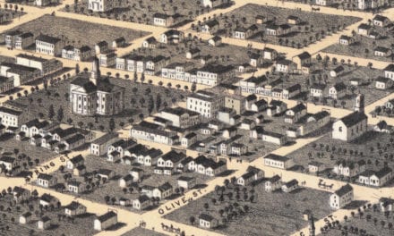
 It showcases street layouts and notable landmarks of the era. KNOWOL has meticulously restored this vintage map of Des Moines, and reproductions are available for purchase here.

Beautiful vignettes and intricate illustrations line the bottom of the map, featuring the temporary State Capitol, U.S. Court House & Post Office, County Court House and Public School. These images provide a closer look at the architectural styles and community life of 19th-century Des Moines.

Vintage Map of Des Moines, Iowa from 1868

Notable Landmarks

The map features several historic Des Moines landmarks, such as:

(1) Capitol
(2) US Court House
(3) County Court House
(4) Public Schools
(5) Iowa Central College
(6) Adjutant & Quartermaster General Department
(7) Chicago, Rock Island and Pacific Railroad Depot
(8) Des Moines Valley Railroad Depot (DVRR)
(A) Capitol Square
(B) Business College

And various churches serving the community:

(9) Baptist Church
(10) Congregational Church
(11) Disciples Church
(12) Catholic Church
(13) Central Presbyterian
(14) Old School Church
(15) United Brethren Church
(16) Evangelical Church
(17) Lutheran Church
(18) 5th Street Methodist
(19) Colored Methodist
(20) Wesley Chapel
(21) Episcopal Church

Just over a decade after becoming the state capital in 1857, Des Moines was a thriving city. The map captures the city’s development with its expanding infrastructure, growing educational offerings, and a broad spectrum of religious institutions, mirroring the increasing population’s needs.

This beautifully restored map makes an attractive addition to any office, library, or den, and offers a fascinating glimpse into Des Moines’ past. The map also serves as an engaging educational tool for learning about the city’s geography and history. When you’re done exploring, click here to get your copy of the restored map and own a piece of Des Moines history.