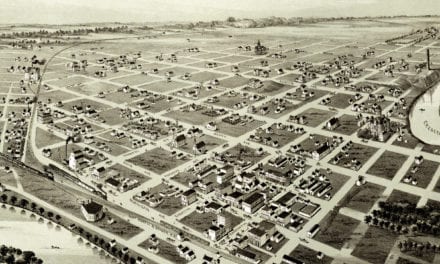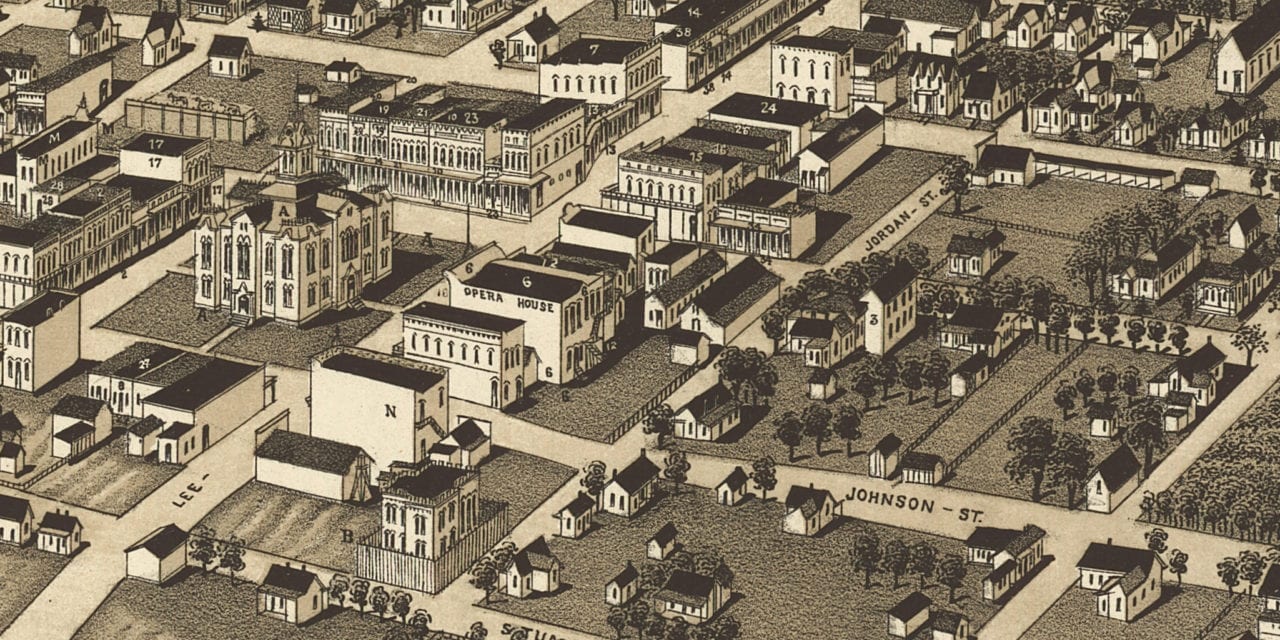
This map of Greenville, Texas was created in 1886 by George Norris and Henry Wellge, two prominent 19th century map makers. The map shows a bird’s eye view of the town as it used to be, including street names and old landmarks.
Landmarks on the map include Coffee’s Hotel, Cameron’s Opera House, Wehrhan Jewelry, Masonic Hall, McMurtray Groceries & Grain, Wyse Hardware & Farm Machinery, Missouri Pacific Car Shops, Greenville Marble Works, Weyrich Bakery, Greenville Flour Mills, and more.
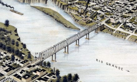
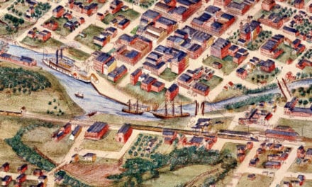
This historic map of Greenville was restored by KNOWOL. Reproductions of the restored map are available here.
Bird’s Eye View of Greenville, Texas in 1886
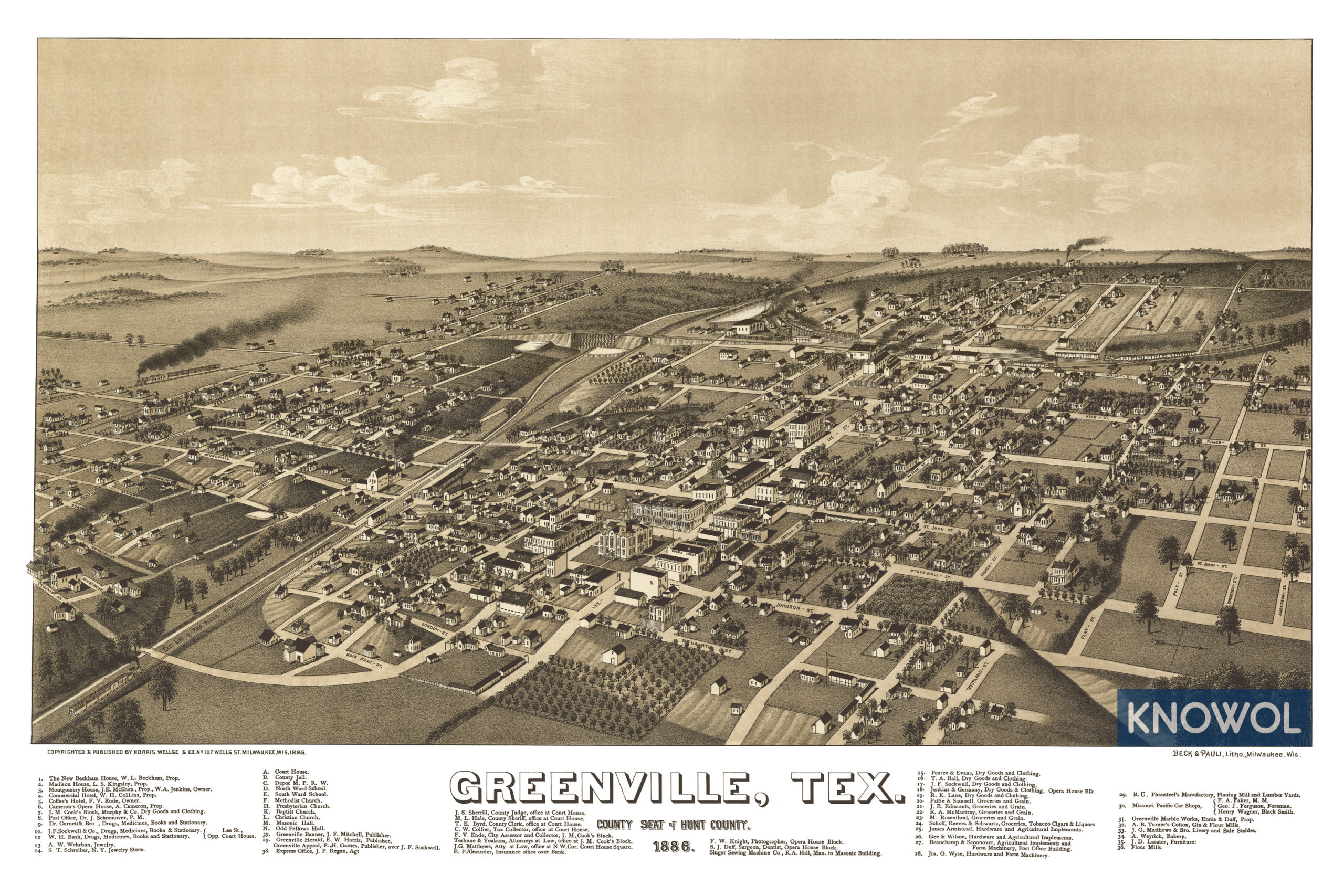
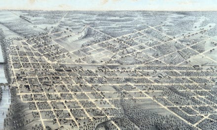
This old map of Greenville makes an attractive addition to your office, library, or den and can even be used to teach children the geography and history of the area. When you’re done exploring, click here to get your copy.