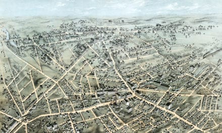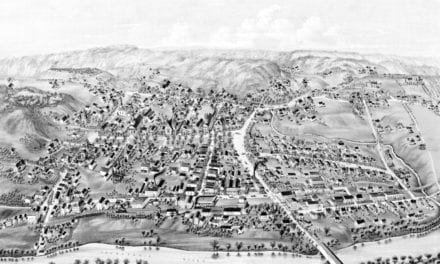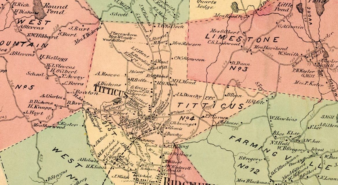
This historic landowners map of Ridgefield, Connecticut was created in 1867 by F.W. Beers, A.D. Ellis & G.G. Soule, cartographers from New York. The map features 15 districts including Bennetts Farms, Limestone, Farmingville, Florida, Whip Stick, Flat Rock, Ridgefield Station, and more.
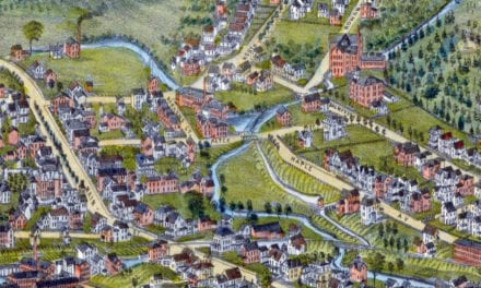
Each plot of land is labeled with the name of the person who owned the land at that time. Landmarks on the map include Round Pond, Gilbert & Brother Sash and Blind Factory, Ridgefield Granite Works, Beers Halfway House, Stamford & Ridgefield Railroad, Ridgefield Shirt Factory, Rockwell Vine Grower and Wine Producer, and more.
This historic map of Ridgefield was restored by KNOWOL. Reproductions of the restored map are available here.
Landowners Map of Ridgefield, CT from 1867
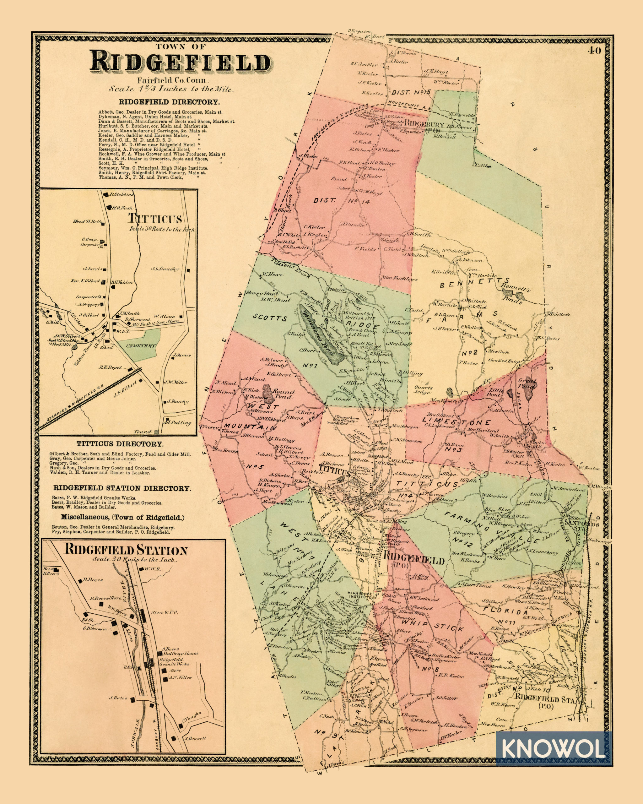
This old map of Ridgefield makes an attractive addition to your office, library, or den and can even be used to teach children the geography and history of the area. When you’re done exploring, click here to get your copy.