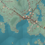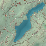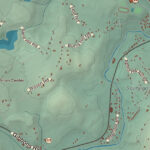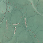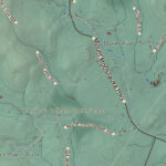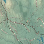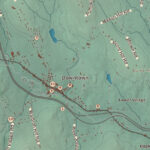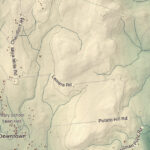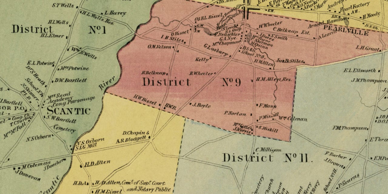
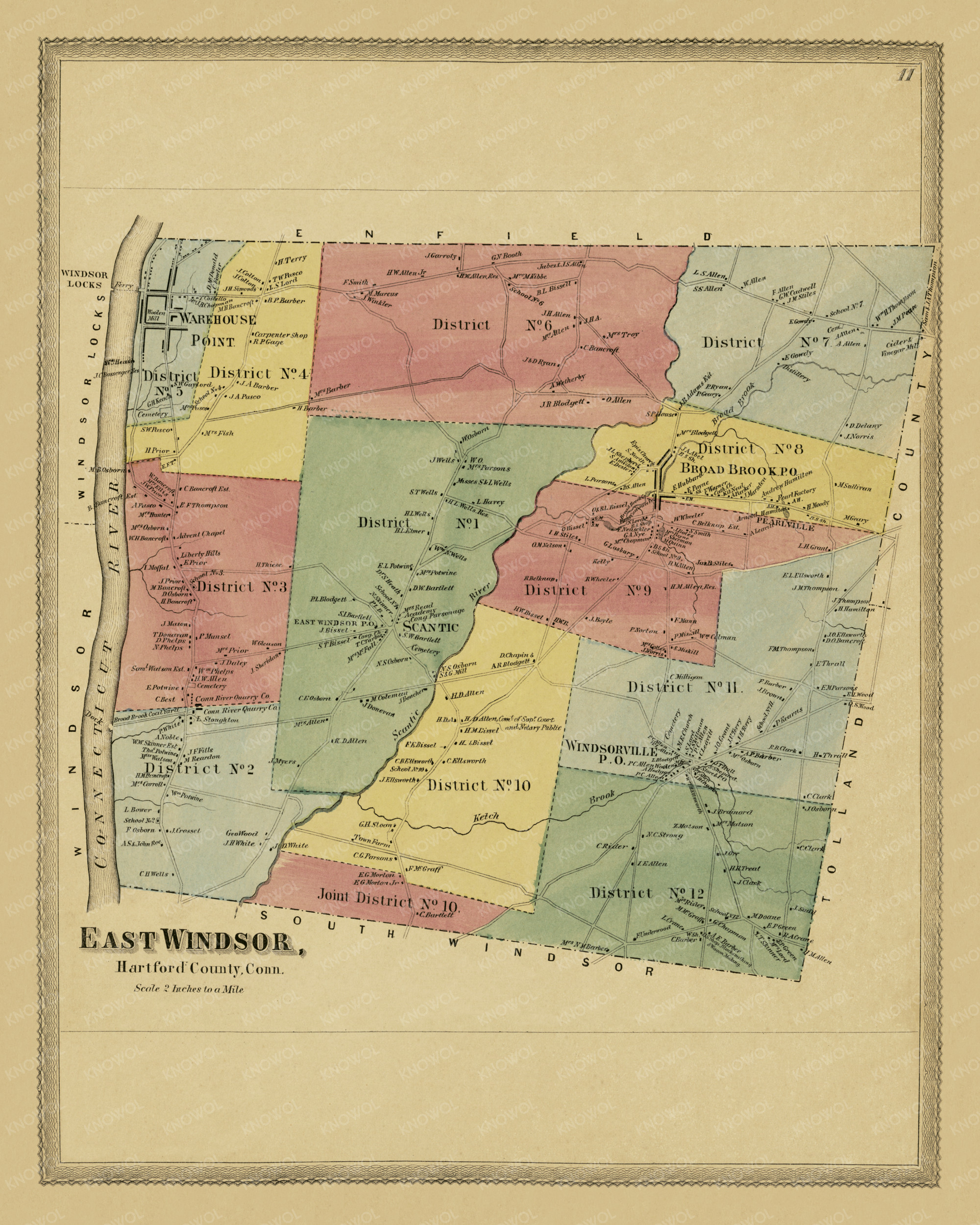
This historic landowners map of East Windsor, Connecticut was created in 1869 by Baker & Tilden, map publishers from Hartford. The map features 12 districts including Broad Brook, Windsorville, Warehouse Point, and Pearlville.
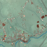
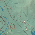
Each plot of land is labeled with the name of the person who owned the land at that time. Landmarks on the map include Gowdy Distillery, East Windsor Cider & Vinegar Mill, Advent Chapel, Connecticut River Quarry Co., Broad Brook Coal Yard, East Windsor Pearl Factory, and more.
This map of East Windsor was restored by KNOWOL. Reproductions of the restored map are available here.
Landowners Map of East Windsor, CT from 1869
This vintage map of East Windsor makes an attractive addition to your office, library, or den and can even be used to teach children the geography and history of the area. When you’re done exploring, click here to get your copy.