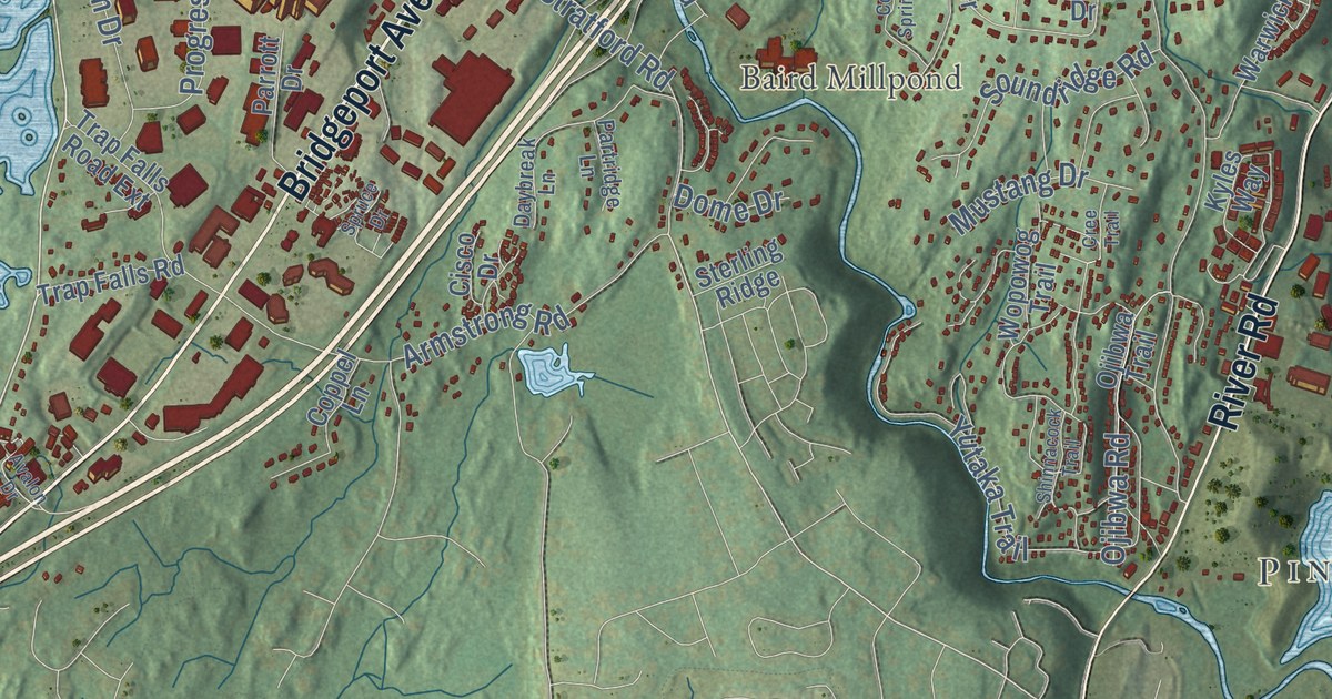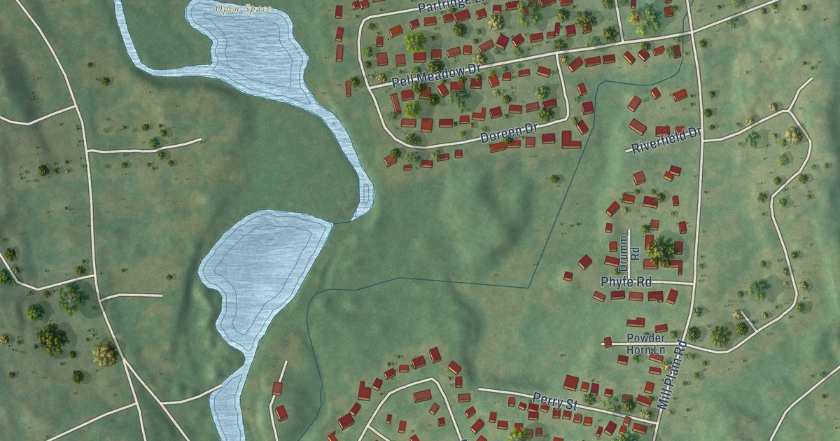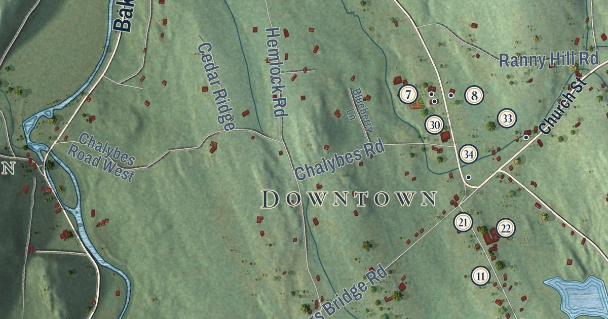
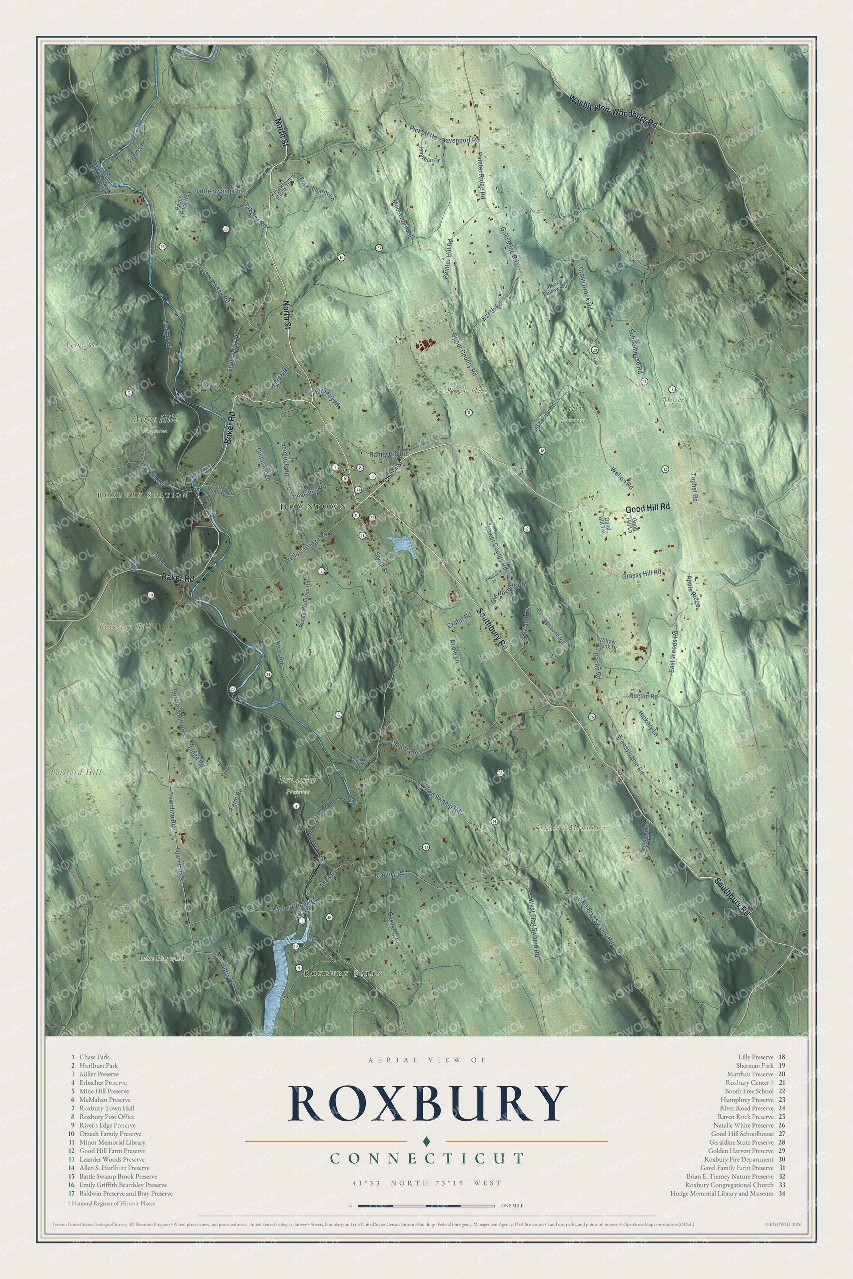
This beautifully detailed map of Roxbury, Connecticut was created in 2026 using aerial imagery combined with modern topographical, census, street and landmark data. It’s a one-of-a-kind view of Roxbury that combines accurate data with a vintage aesthetic. The map shows every building in its true location, many of the roads carry their names, and the shaded topographic relief shows the shape of the land.
See it on a wall
The Roxbury map as an 18 x 24 inch print in a black frame.

Explore an aerial view of Roxbury, Connecticut
On the map you’ll find Downtown, Roxbury Falls, Roxbury Station, Booth Hill, Botsford Hill, Bronson Mountain, Bulkeley Hill, Lake Hayward, Levys Pond, Erbacher Preserve, Lilly Preserve, Matthau Preserve, and more. If you look closely you can even find your house accurately drawn in its correct location. Zoom in on the preview to look for yours. Click here to learn more about the history of Roxbury.
Take a closer look at the Roxbury map
Click to explore a larger preview. The digital watermark does not appear on printed maps.
Names on this map
These names are printed on this map.
Places: Downtown, Roxbury Falls, Roxbury Station, Booth Hill, Botsford Hill, Bronson Mountain, Bulkeley Hill, Lake Hayward, Levys Pond, Erbacher Preserve, Lilly Preserve, Matthau Preserve, Miller Preserve and Mine Hill Preserve.
Streets and roads: Southbury Road, Good Hill Road, North Street, Baker Road, Washington-Woodbury Road, Painter Hill Road, South Street, Gold Mine Road, Berry Road, Judds Bridge Road, Battle Swamp Road, Townline Road.
More street names, A to Z
Apple Lane, Apple Ridge, Bacon Road, Bayberry Hl, Bear Burrow Road, Blueberry Lane, Booth Road, Botsford Hill Road, Carriage Lane, Carriage Lane Road, Cedar Ridge, Chalybes Road, Chalybes Road West, Church Street, Crofut Road, Cross Brook Road, Davenport Road, East Flag Swamp Road, East Woods Road, Falls Road, Farm Road, Flag Swamp Road, Forest Farm Lane, Forest Farms Drive, Garnet Road, Good Hill Lane, Good Hill Terrace, Grassy Hill Road, Hemlock Road, Hickory Lane, High Bridge Road, Highmeadow Lane, Hodge Road, Jonathan Drive, Judge Road, Lower County Road, Lower Falls Road, Mallory Road, Mine Hill Road, Minor Bridge Road, Moosehorn Road, Old Lane, Old Roxbury Road, Old Tophet Road, Old Turnpike, Painter Ridge Road, Phaeton Drive, Pickett Road, Quarry Drive, Ranny Hill Road, Raven Rock Road, River Road, Rocky Mountain Road, Rucum Road, Schoolhouse Road, Sentry Hill Road, Spargo Road, Squire Road, Tamarack Lane, Tophet Road, Town Line Road, Transylvania Road, Tunnel Road, Upper County Road, Wakelee Road, Walker Brook Road South, Wellers Bridge Road, Welton Road, West Flag Swamp Road, Willow Brook Drive.
This beautifully detailed map of Roxbury makes an attractive addition to your office, library, or den, and it can even be used to teach children the geography and history of the area. It also makes a great gift for anyone who grew up in Roxbury or moved away. When you’re done exploring, click here to get your copy of the Roxbury map.