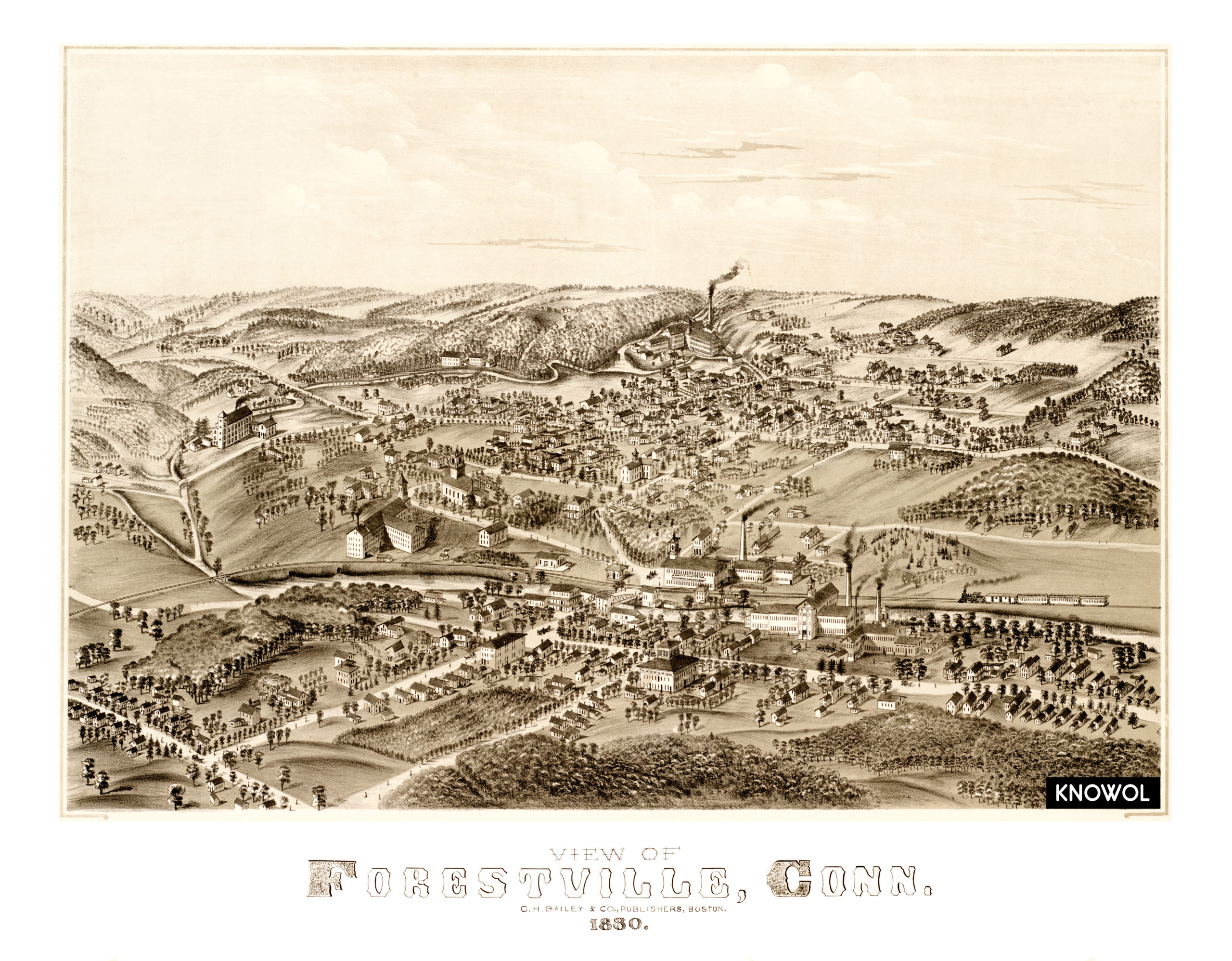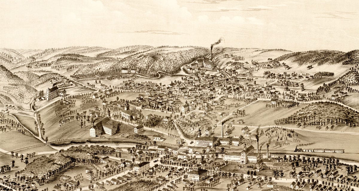
This old map shows the Forestville section of Bristol, Connecticut as it looked in 1880. The map was created by O.H. Bailey & Co., and has been restored to its original condition by KNOWOL.
Forestville, CT was established as a village in 1833 and named for its wooded surroundings. Prior to its founding as a village the area served as a hunting ground of the Tunxis tribe until the 19th century. Today Forestville consists of suburban neighborhoods and local businesses. Explore a larger copy of the map below, or click here to get a high resolution print of the map.
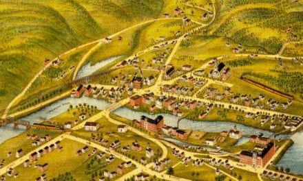
Click here to see a larger version of the map.