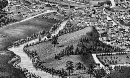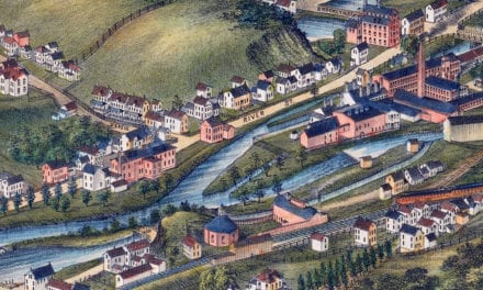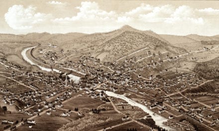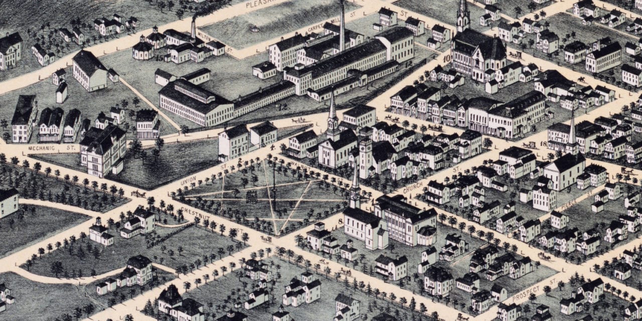
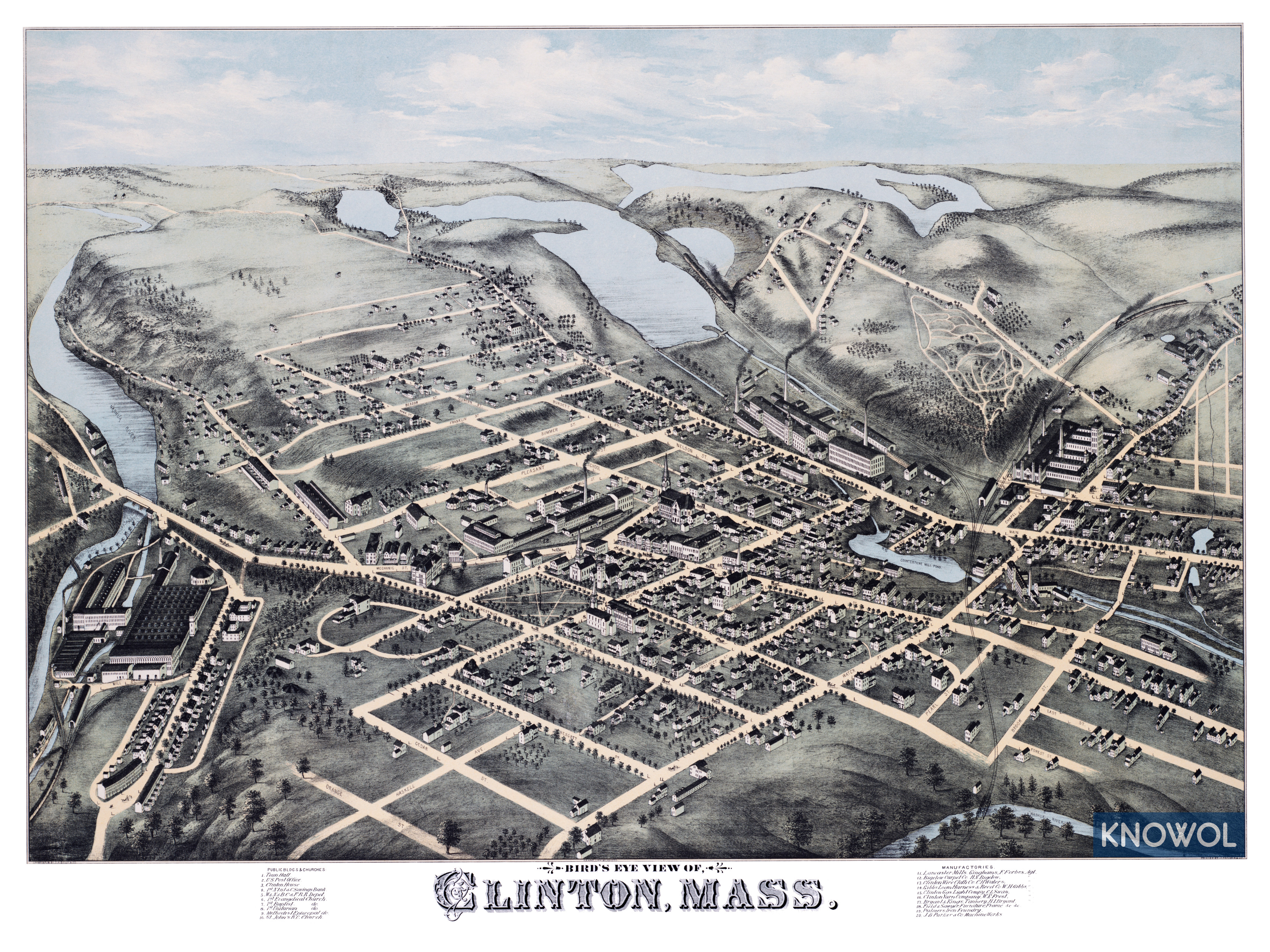
This historic map of Clinton, Massachusetts was created in 1876 by O.H. Bailey, a prominent 19th century map maker. The map shows a bird’s eye view of the area as it used to be, including street names and old landmarks.
Landmarks on the map include Town Hall, Clinton House, Lancaster Mills, Bigelow Carpet Company, Clinton Wire Cloth Company, Gibbs Loom, Harness & Reed Company, Clinton Gas Light Company, Clinton Yarn Company, Bryant & Kings Tannery, Field & Sawyer Furniture, Palmer’s Iron Foundry, and more.
This historic map of Clinton has been restored by KNOWOL. Reproductions of the restored map are available here.
Historic Old Map of Clinton, Massachusetts from 1876
This vintage map of Clinton makes an attractive addition to your office, library, or den, and can even be used to teach children the geography and history of the area. When you’re done exploring, click here to get your copy of the restored map.