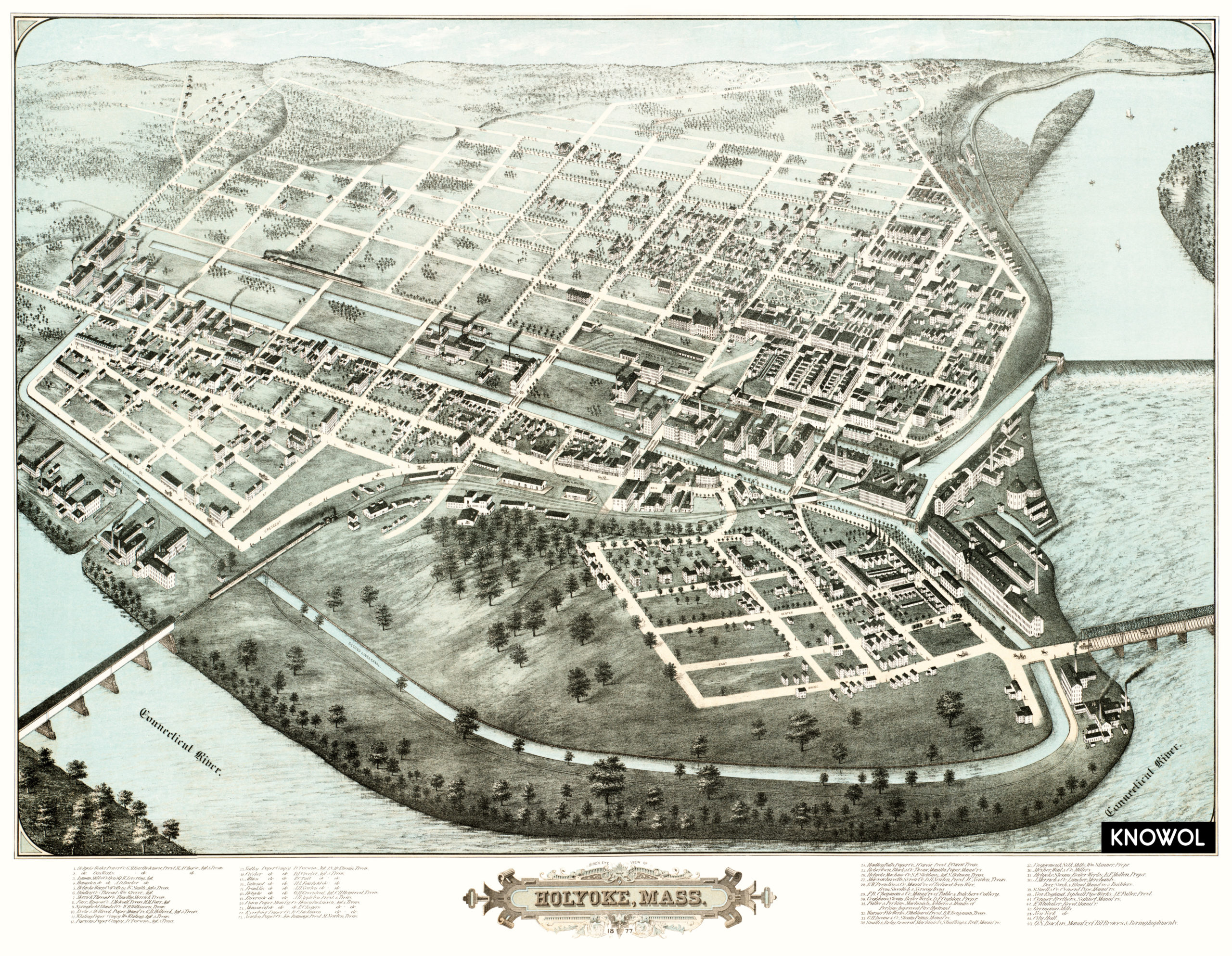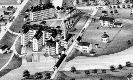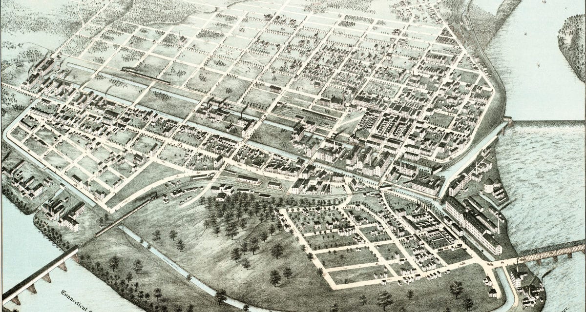
This old map shows Holyoke, Massachusetts as it looked in 1877. The map was originally created by H.H. Bailey & J.C. Hazen, and was restored to its original condition by the team at KNOWOL.
The map includes Holyoke landmarks such as the Holyoke Water Power Co., Lyman Mills, Springfield Blanket Co., City Hall, and more than ten different paper companies.
Explore a larger copy of the map below and then click here to get a high resolution poster to display in your home.
Click here to see a larger version of the map.