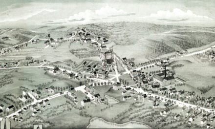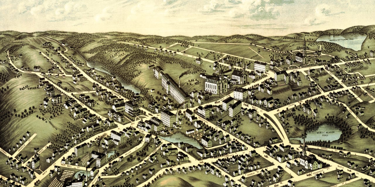
This old map of Spencer, Massachusetts was first published in 1877 by O.H. Bailey and J.C. Hazen. Bailey and Hazen were two of the most prolific map publishers of the 19th century, and spent a majority of their lives creating beautiful hand drawn maps of American towns.
The map shows a bird’s eye view of Spencer, MA as it looked at the end of the 19th century. Notable landmarks on the map include Massasoit Hotel, Muzzy Meadow Pond, Town Hall, Spencer National Bank, and 10 boot manufacturers.
Click here to see Spencer, Massachusetts in 1877.
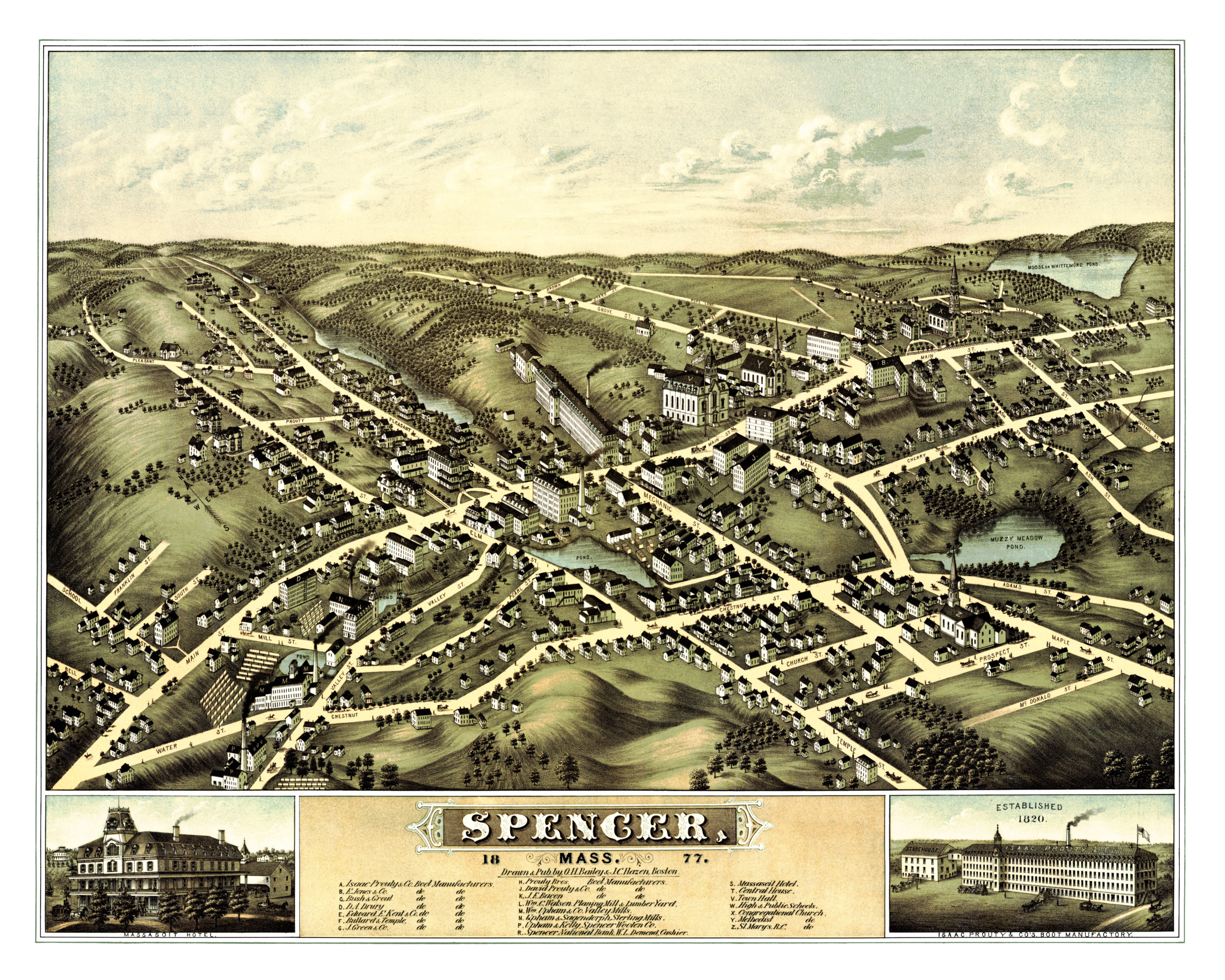
This old map of Spencer, MA has been lovingly restored by the team at KNOWOL. Reproductions of the restored map are available on museum quality, archival paper to ensure that this piece of Spencer history can be passed on to the next generation. Click here to get a copy of the map.