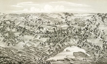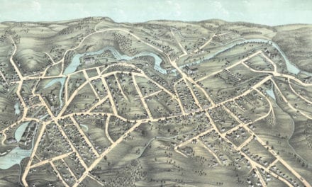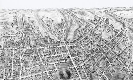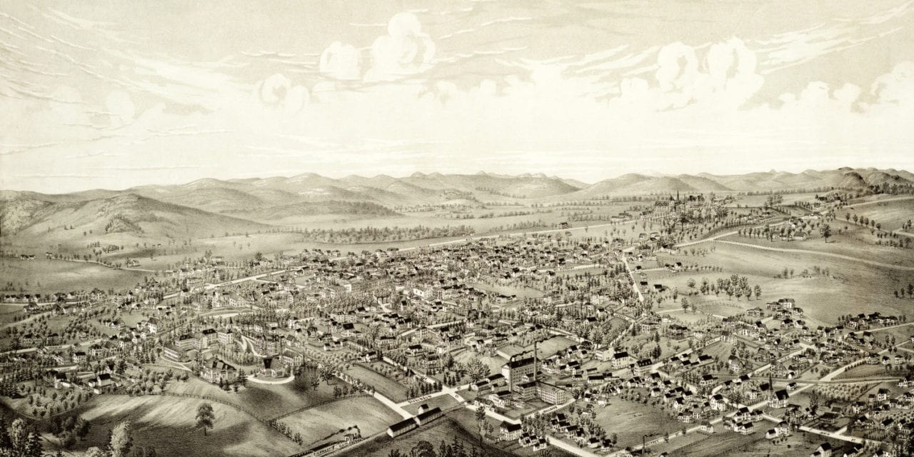
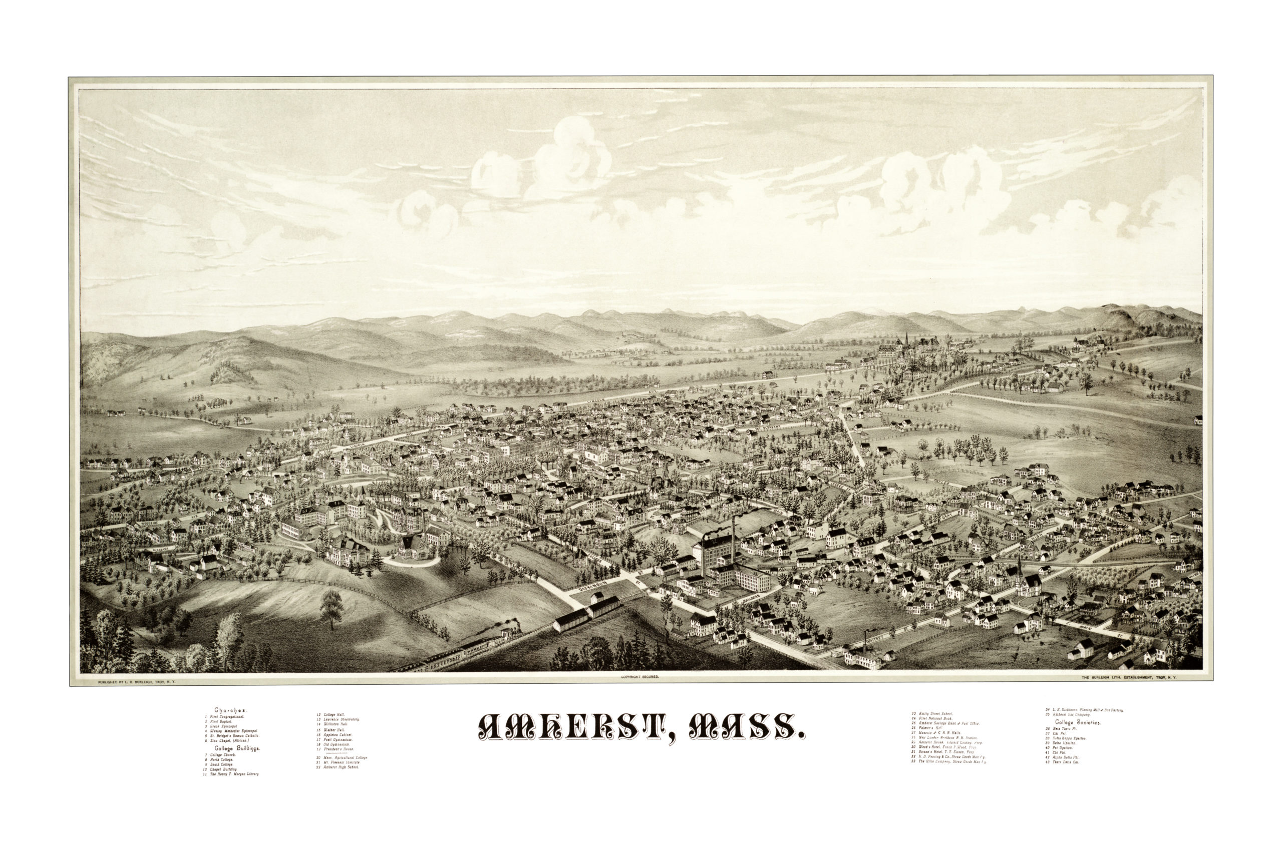
This map of Amherst, Massachusetts was created by Lucien R. Burleigh in 1886, an artist and cartographer who spent much of his life traveling across America creating detailed bird’s eye view maps of small towns and their landmarks.
The map highlights promiment buildings and landmarks in Amherst at the time such as Massachusetts Agricultural College (now UMass Amherst), the Old Fraternity Buildings, Old South College, Masonic Hall, Amherst House, and more.
This vintage map of Amherst has been restored by the team at KNOWOL. Reproductions are available here.
Click here to see the map of Amherst in 1886.
This old map of Amherst will make an attractive addition to your office, library, or den, and can even be used to teach children the geography and history of the area. When you’re done exploring, click here to get your copy.