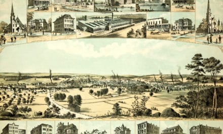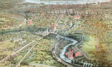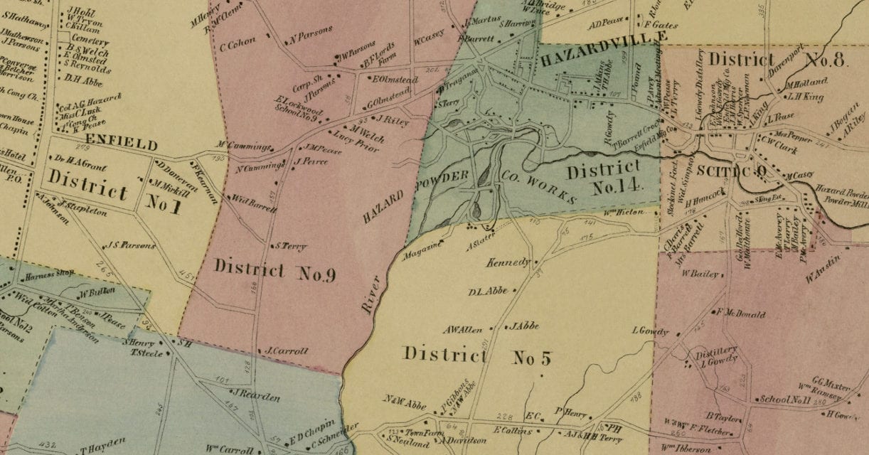
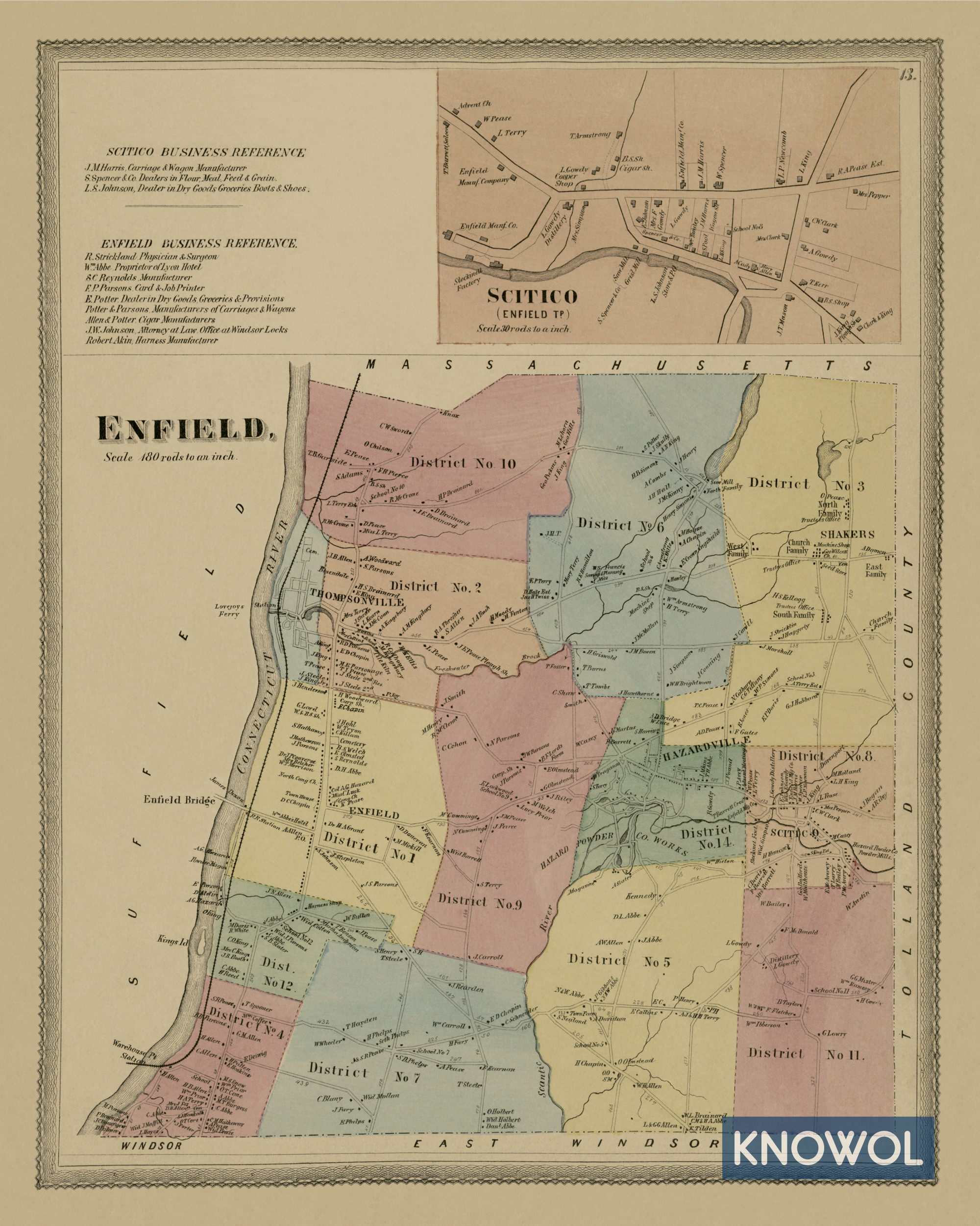
This historic landowners map of Enfield, Connecticut was created in 1869 by Baker & Tilden, cartographers from Hartford. The map features 14 districts including Hazardville, Scitico, Thompsonville, and more.
Each plot of land is labeled with the name of the person who owned the land at that time. Landmarks on the map include Enfield Bridge, Abbes’ Hotel, North Congregational Church, Hazard Powder Company, Powder Mills, Machine Shop, Seed Store, Cigar Shop, Gowdy Distillery, Enfield Manufacturing, Lovejoy’s Ferry, and more.
This historic map of Enfield was restored by KNOWOL. Reproductions of the restored map are available here.
Landowners Map of Enfield, Connecticut from 1869
This vintage map of Enfield makes an attractive addition to your office, library, or den and can even be used to teach children the geography and history of the area. When you’re done exploring, click here to get your copy.