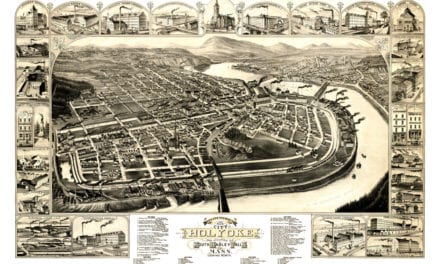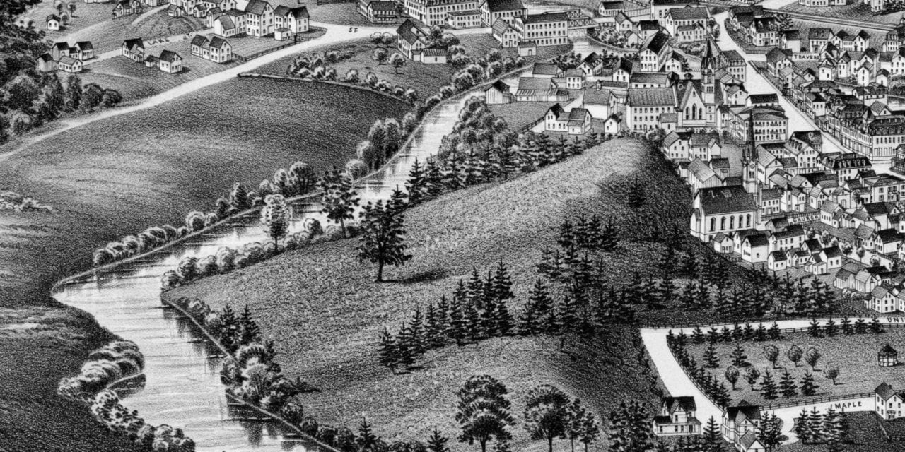
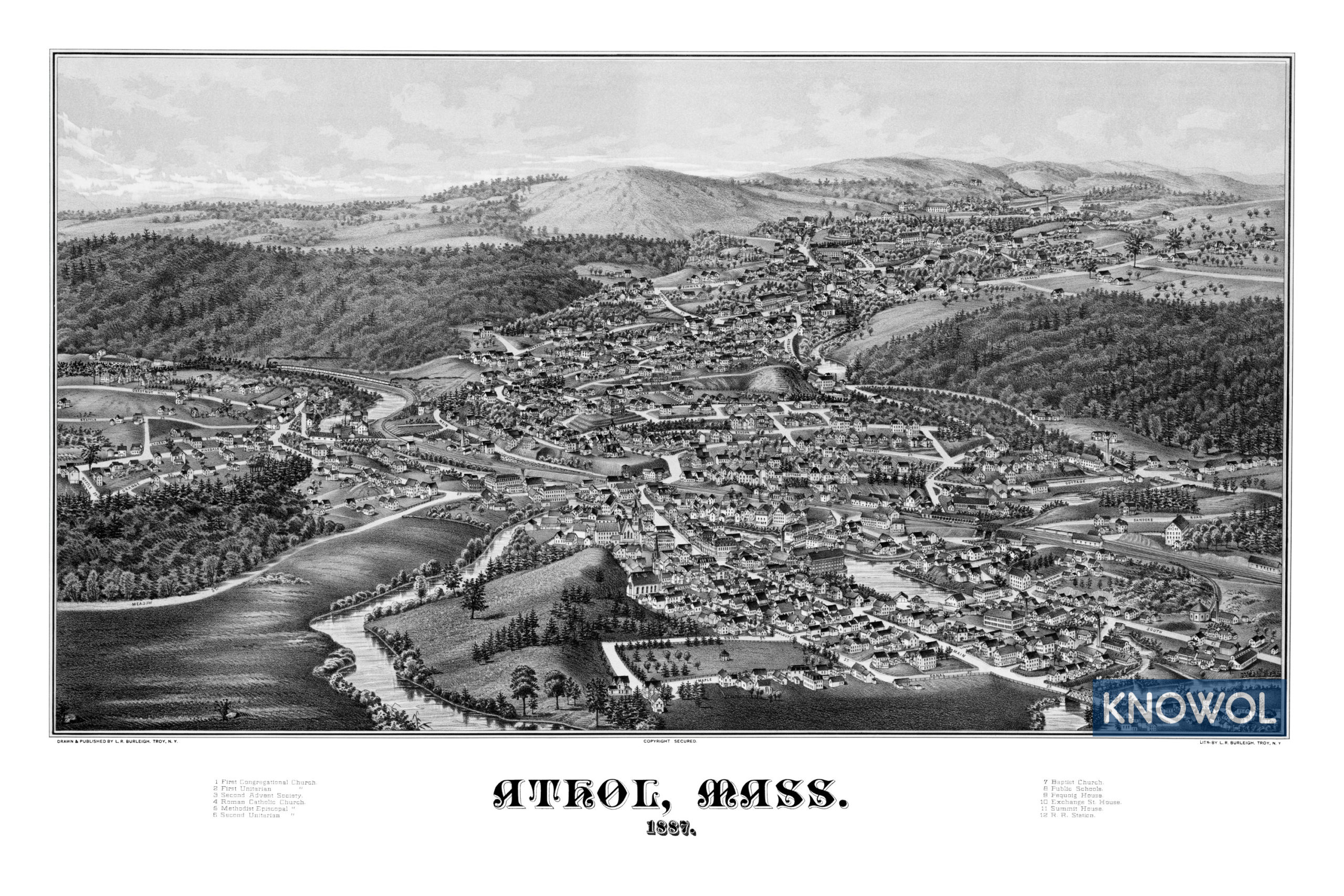
This historic map of Athol, Massachusetts was created in 1887 by Lucien Burleigh, a prominent 19th century map maker. The map shows a bird’s eye view of the area as it used to be, including street names and old landmarks.
Landmarks on the map include Athol Public Schools, Pequoig House, Exchange Street House, Summit House, Railroad Station, Baptist Church, First Congregational Church, Second Advent Society, Roman Catholic Church, and more.
This historic map of Athol has been restored by KNOWOL. Reproductions of the restored map are available here.
Historic Old Map of Athol, Massachusetts from 1887
This vintage map of Athol makes an attractive addition to your office, library, or den, and can even be used to teach children the geography and history of the area. When you’re done exploring, click here to get your copy of the restored map.