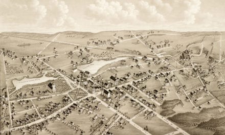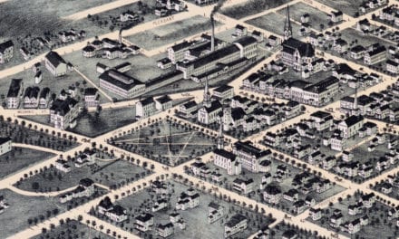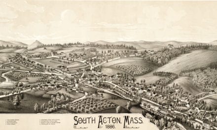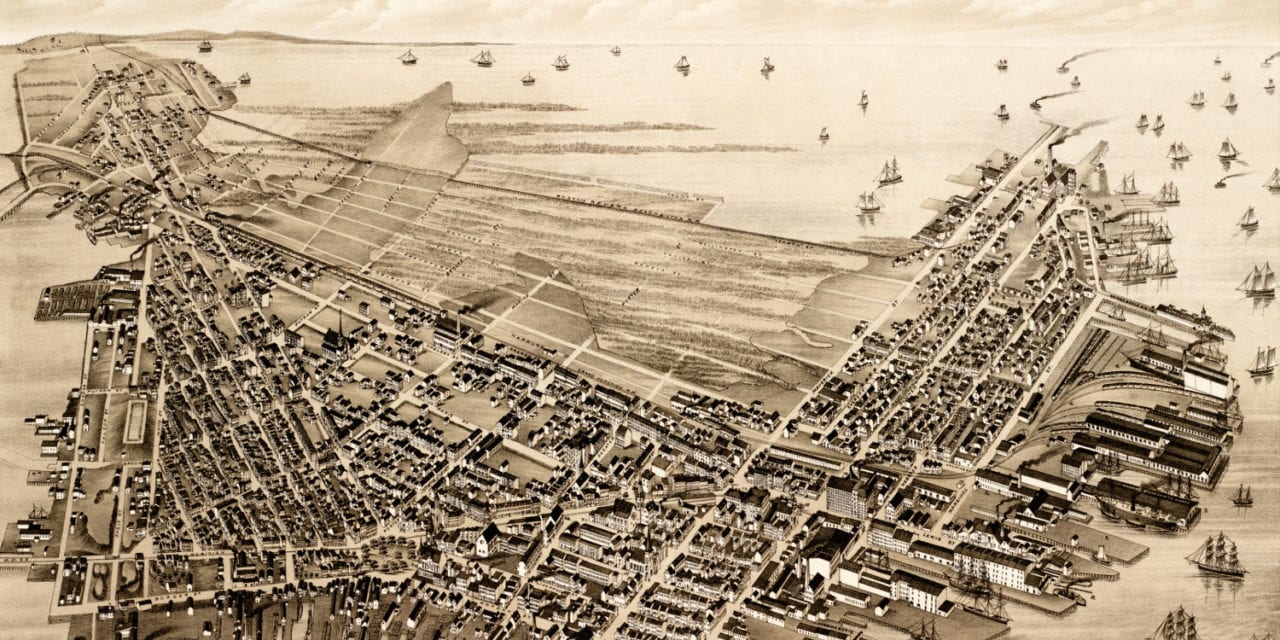
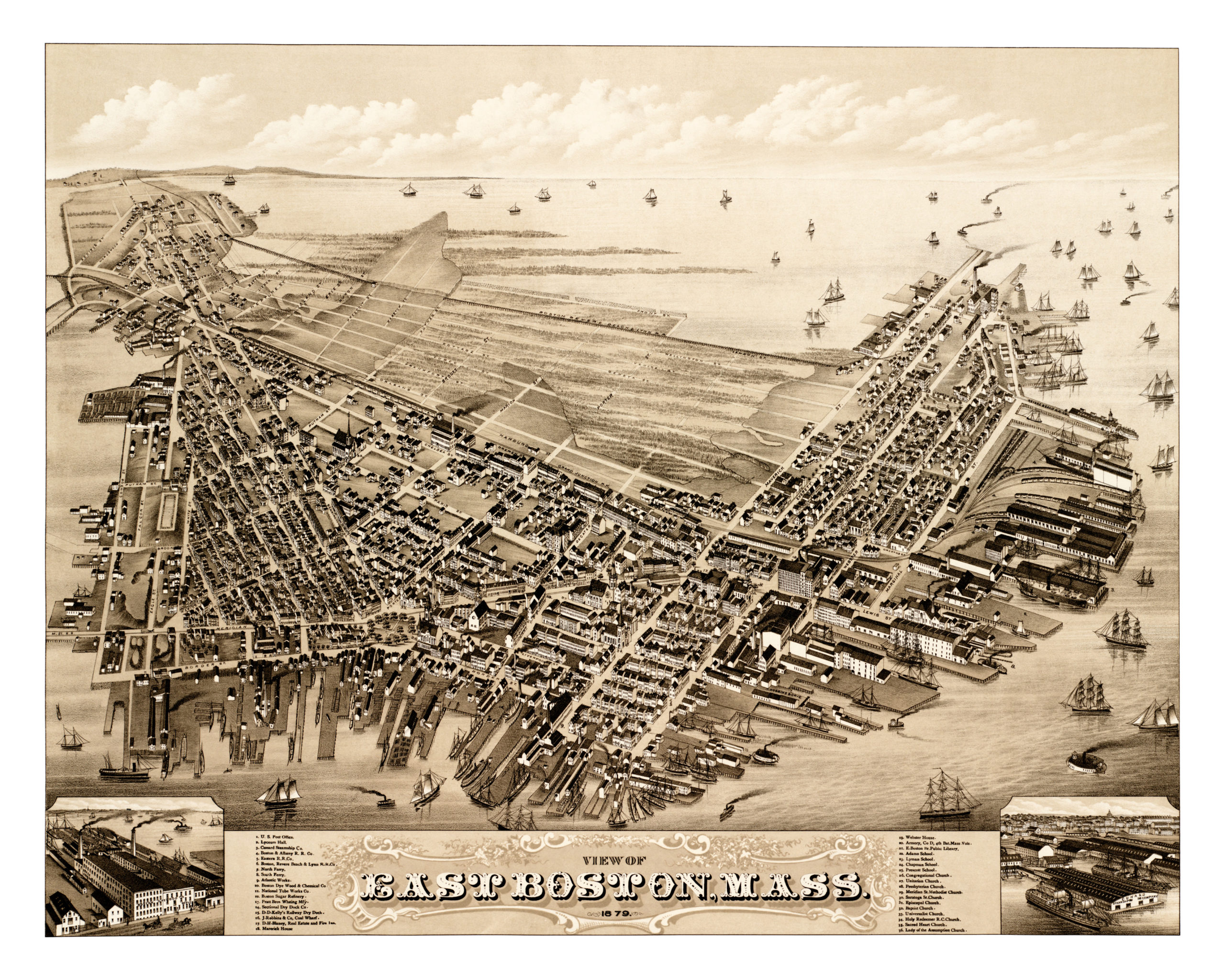
This old map of East Boston, Massachusetts was published in 1879 by Oakley Hoops Bailey, one of the most prolific map publishers of the 19th century. O.H. Bailey spent much of his life traveling the country creating beautiful hand drawn maps of American towns.
The map shows a bird’s eye view of East Boston, Mass as it looked at the end of the 19th century. Landmarks on the map include Lyceum Hall, Marerick House, Webster House, East Boston Public Library, Boston & Albany Railroad, D. D. Kelly’s Railway Dry Dock, and more.
Click here to see East Boston, Massachusetts in 1879.
Reproductions of the restored map are available here.
This old map of East Boston has been lovingly restored by the team at KNOWOL. Reproductions of the restored map are available on museum quality, archival paper to ensure that this piece of Eastie history can be passed on to the next generation. Click here to get a copy of the map.