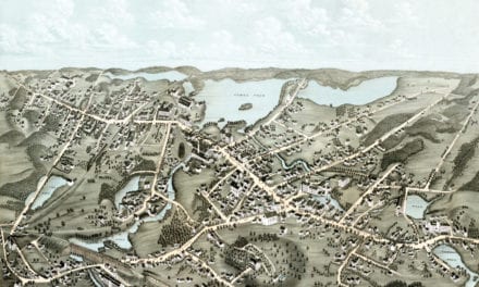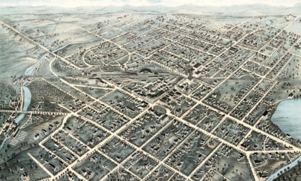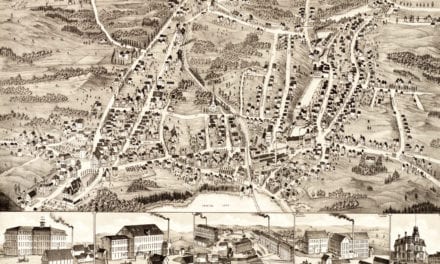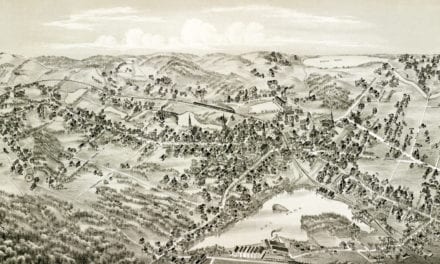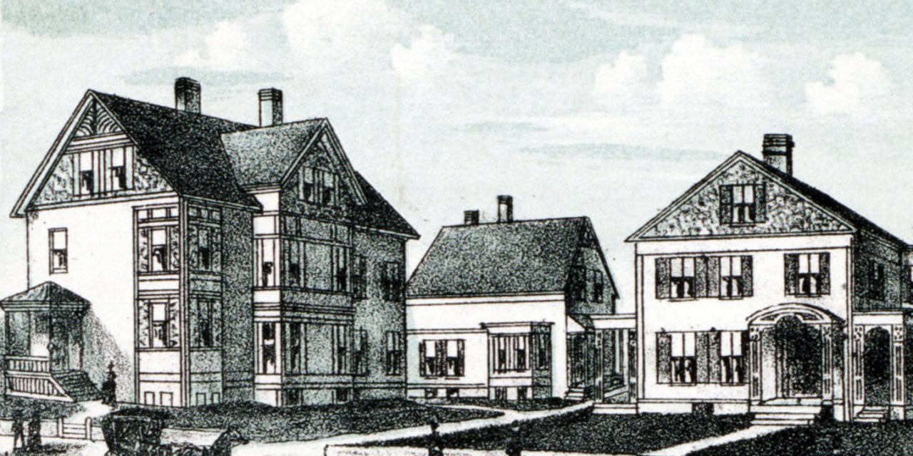
This historic map of Milford, Massachusetts was created in 1888 by O.H. Bailey, a prominent 19th century map maker. The map shows a bird’s eye view of the area as it used to be, including street names and old landmarks.
Landmarks on the map include Greene Brothers Heel Manufactory, Masonic Hall, Mansion House, Music Hall Block, Milford Electric Light & Power Company, Memorial Hall & Public Library, Lincoln House, Hotel Gillon, Cedar Swamp Pond, Trinity Church, Baptist Church, Catholic Church, and more.
This historic map of Milford has been restored by KNOWOL. Reproductions of the restored map are available here.
Historic Old Map of Milford, Massachusetts from 1888

This vintage map of Milford makes an attractive addition to your office, library, or den, and can even be used to teach children the geography and history of the area. When you’re done exploring, click here to get your copy of the restored map.