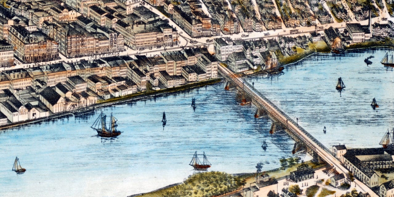
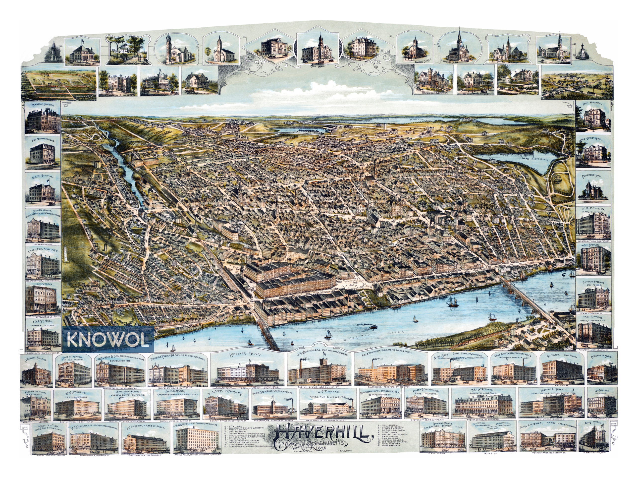
This historic map of Haverhill, Massachusetts was created in 1893 by O.H. Bailey, a prominent 19th century map maker. The map shows a bird’s eye view of the city as it used to be, including street names and old landmarks.
Landmarks on the map include City Hall, Webster Block, City Hospital, Children’s Home, North Church, Centre Church, Trinity Church, Winter Street School, Soldier’s Monument, B&M Railroad Station, Masonic Building, Odd Fellows Hall, Hotel Webster, Winchell’s Shoe Manufacturers, Merrimac River, and more.
This historic map of Haverhill has been restored by KNOWOL. Reproductions of the restored map are available here.
Historic Old Map of Haverhill, Massachusetts from 1893
This vintage map of Haverhill makes an attractive addition to your office, library, or den, and can even be used to teach children the geography and history of the area. When you’re done exploring, click here to get your copy of the restored map.