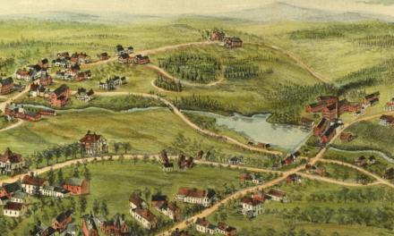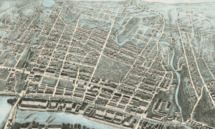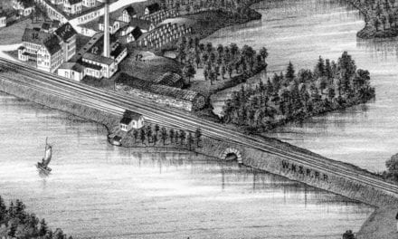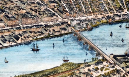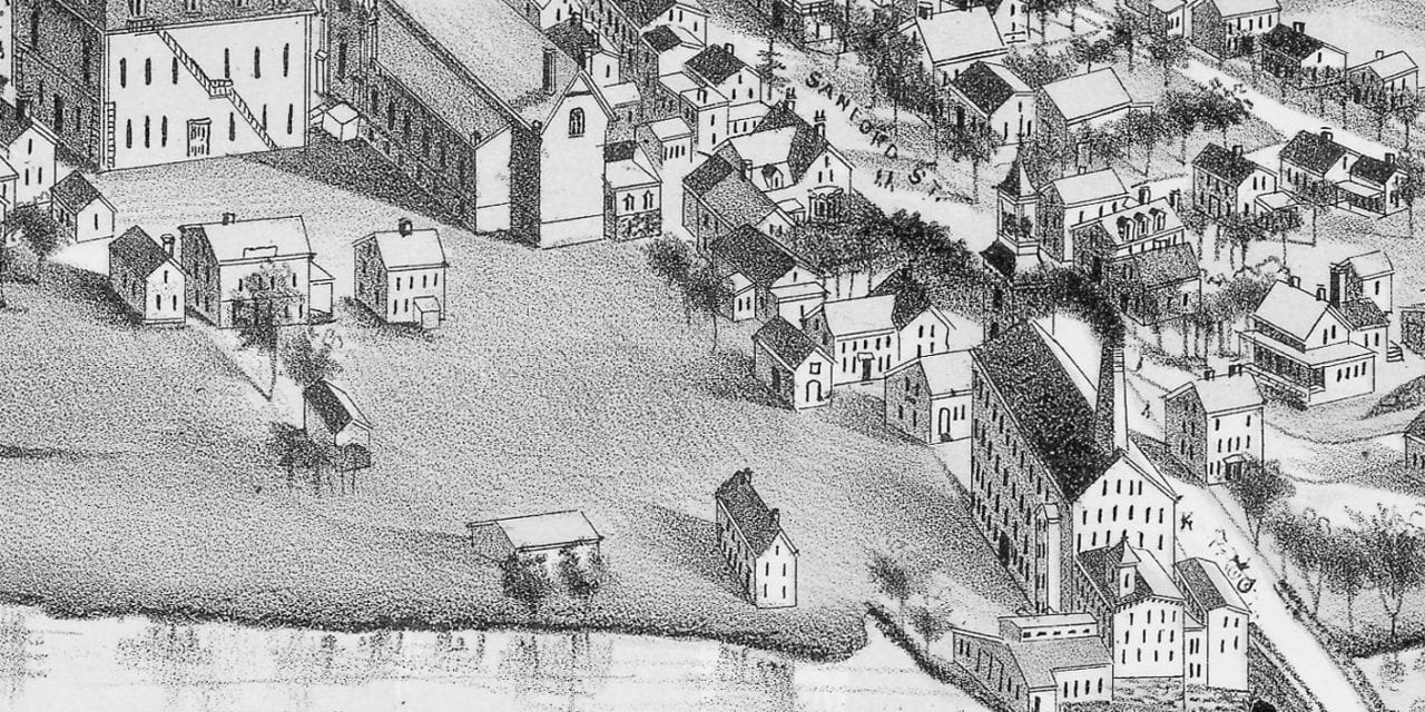
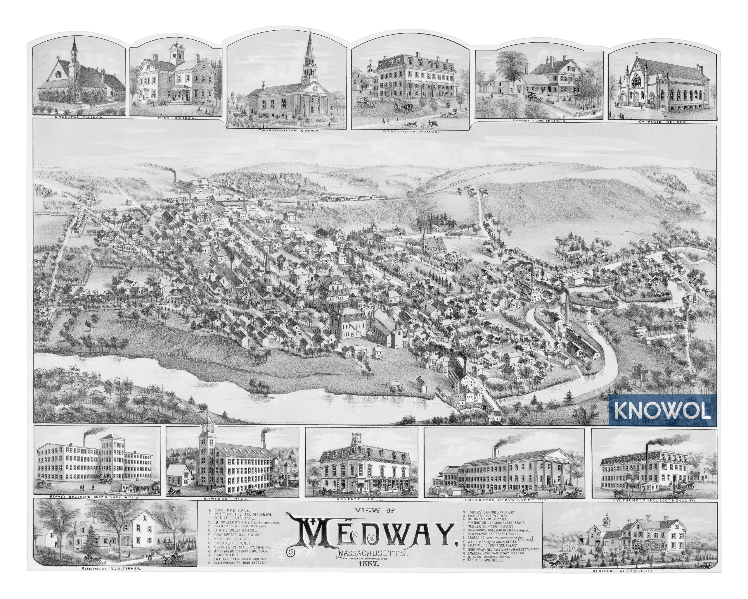
This historic map of Medway, Massachusetts was created in 1887 by O.H. Bailey, a prominent 19th century map maker. The map shows a bird’s eye view of the town as it used to be, including street names and old landmarks.
Landmarks on the map include Sanford Mill, Clough Apothecary, Seavey Brothers Boot & Shoe Manufacturing, Sanford Hall, Hirsch & Park, Straw Goods Manufactory, Residence of C.C. Ballou, Quinobequin House, Hodges’ Canning Factory, McGinnis Auctioneer, Rapid Engine House, N.Y. & N.E. Railroad Station, and more.
This historic map of Medway was restored by KNOWOL. Reproductions of the restored map are available here.
Bird’s Eye View of Medway, MA in 1887
This old map of Medway makes an attractive addition to your office, library, or den and can even be used to teach children the geography and history of the area. When you’re done exploring, click here to get your copy.