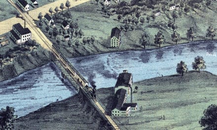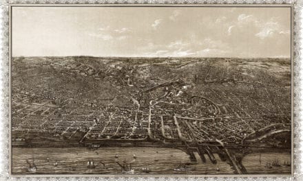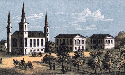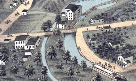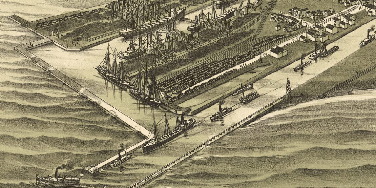
This historic map of Ashtabula Harbor, Ohio was created in 1896 by T.M. Fowler, a prominent 19th century map maker. The map shows a bird’s eye view of Ashtabula as it used to be, including street names and old landmarks.
Landmarks on the map include Woodland Beach Park, City Water Works, Minnesota Dock Company, Superior Dock Company, Angeline Dock Company, the Pittsburgh, Youngstown, & Ashtabula Railroad, and more.
This historic map of Ashtabula was restored by KNOWOL. Reproductions of the restored map are available here.
Bird’s Eye View of Ashtabula Harbor, OH in 1896
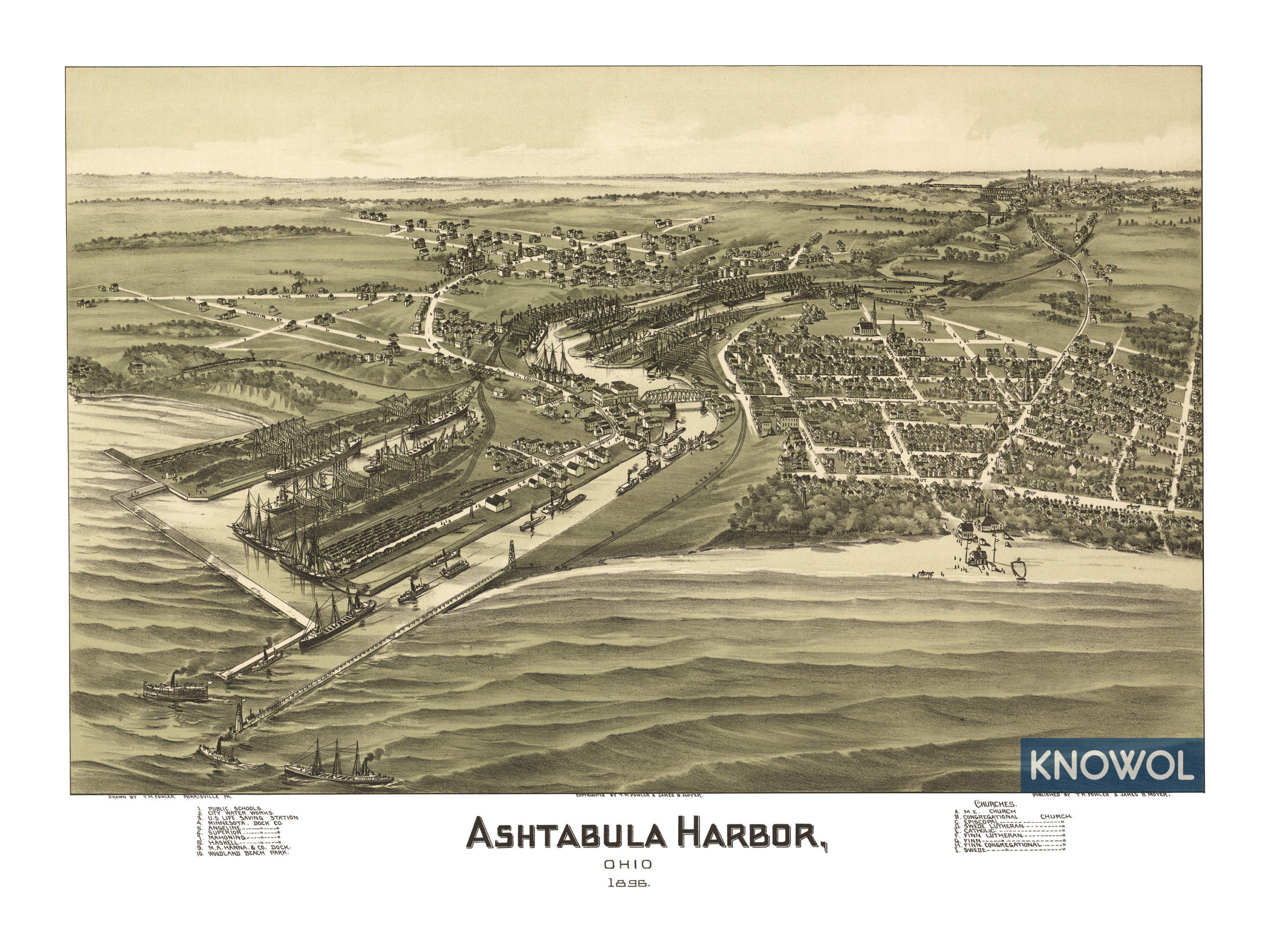
This old map of Ashtabula makes an attractive addition to your office, library, or den and can even be used to teach children the geography and history of the area. When you’re done exploring, click here to get your copy.