Map of North Olmsted, Ohio in 2026
In 1829, the township took the name Olmsted in a trade for 500 books brought by oxcart from Connecticut. Find North Olmsted City Hall, Lorain Road and Rocky River Reservation on this new map of North Olmsted, Ohio.

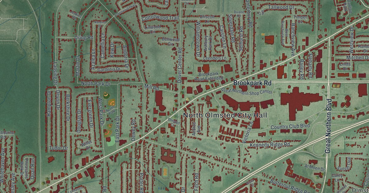
In 1829, the township took the name Olmsted in a trade for 500 books brought by oxcart from Connecticut. Find North Olmsted City Hall, Lorain Road and Rocky River Reservation on this new map of North Olmsted, Ohio.
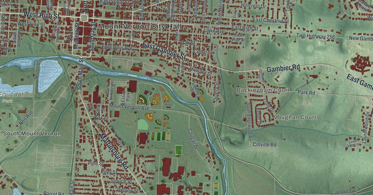
Follow South Main Street, Wooster Road and Coshocton Road on this Knox County map of Mount Vernon, Ohio. Then learn about Dr. Jane Payne, who graduated first in her medical class in 1861 and kept her office on South Main Street.
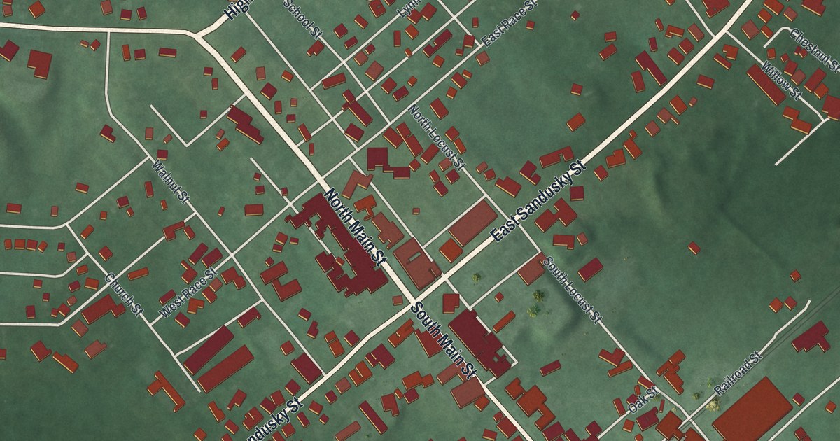
Follow Main Street and Sandusky Street through Mechanicsburg, find Goshen Township Memorial Park, and read how neighbors with pitchforks and shovels drove off federal marshals to protect Addison White in 1857.
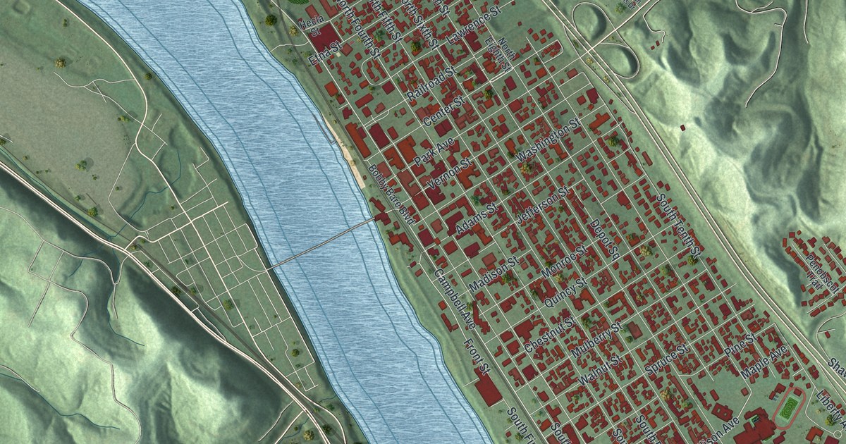
Ironton has held its Memorial Day parade since 1868, and its Tanks once beat the Chicago Bears. This map of Ironton, Ohio shows Center Street, Park Avenue, Green Valley and more than 9,000 buildings between the river and the hills.
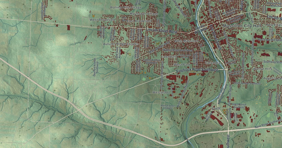
Robert Pinn, a Massillon farmer, took command of his company at New Market Heights in 1864 and earned the Medal of Honor. Find Erie Street South, where he’s buried, on this Massillon map, along with Massillon City Hall, Sippo Heights and West Brookfield.
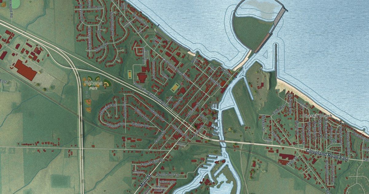
In 1886, Huron built the Golden Age, the largest ship on the Great Lakes at 286 feet. Find Main Street beside the river’s west bank, then look north to the harbor mouth and across the map from Rye Beach Road to Chaska Beach.
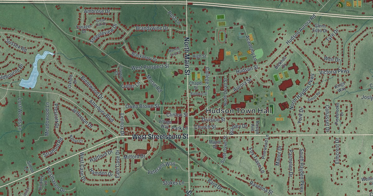
Frederick Douglass spoke to 3,000 people at Western Reserve College in 1854. This map of Hudson in Summit County, Ohio shows Main Street, Hudson Town Hall, Hudson Springs Park and more than 12,000 buildings.
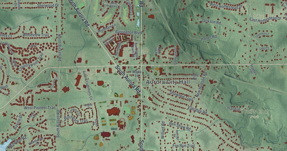
Aurora farmers once paid their store bills in homemade cheese. This map of Aurora in Portage County, Ohio shows Chillicothe Road, Geauga Lake, Tinkers Creek State Park and more than 8,000 buildings.
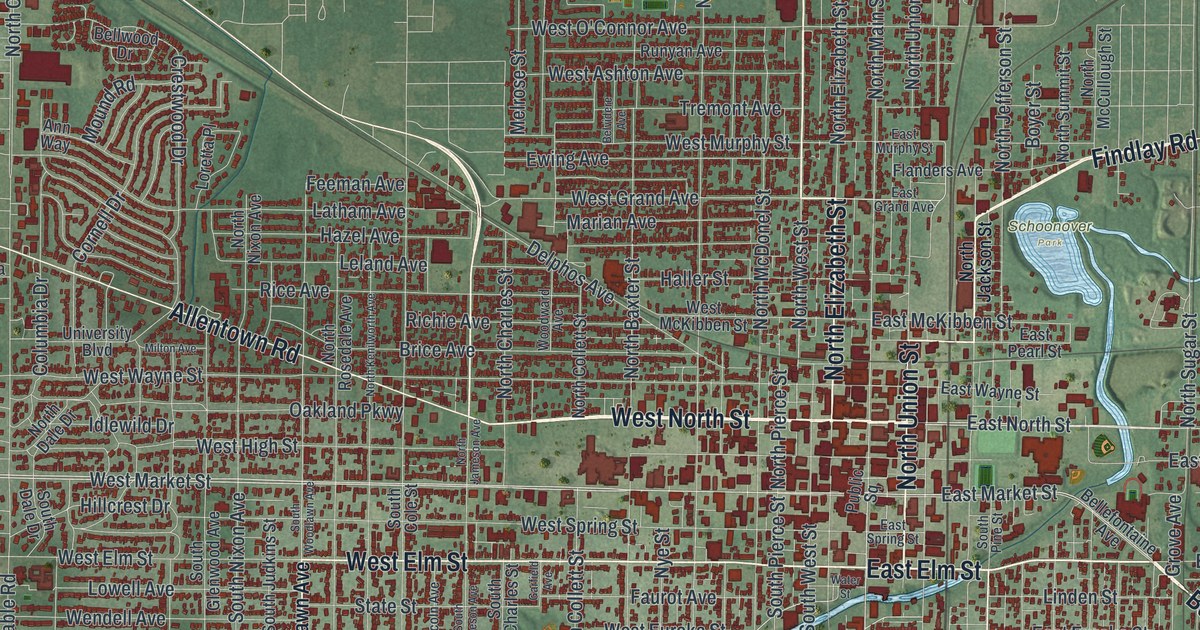
Follow Lima’s streets from Public Square to Schoonover Park and Foundry Park on this Allen County map. Then learn how Benjamin Faurot’s 1885 well started a boom, and how Standard Oil learned to refine Lima’s sour crude.
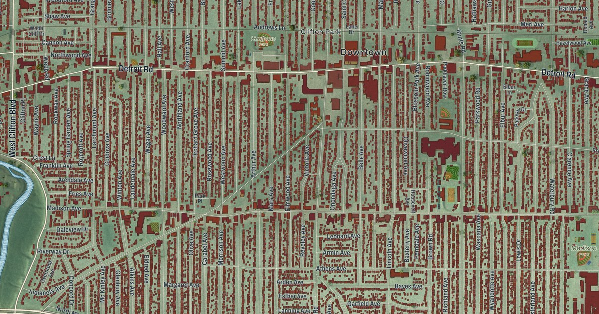
Lakewood Park was once John Honam’s farm, then The Hickories estate, then City Hall grounds. Find Detroit Road, Madison Park and the bird-named streets of the Birds Nest on this map of Lakewood, Ohio.
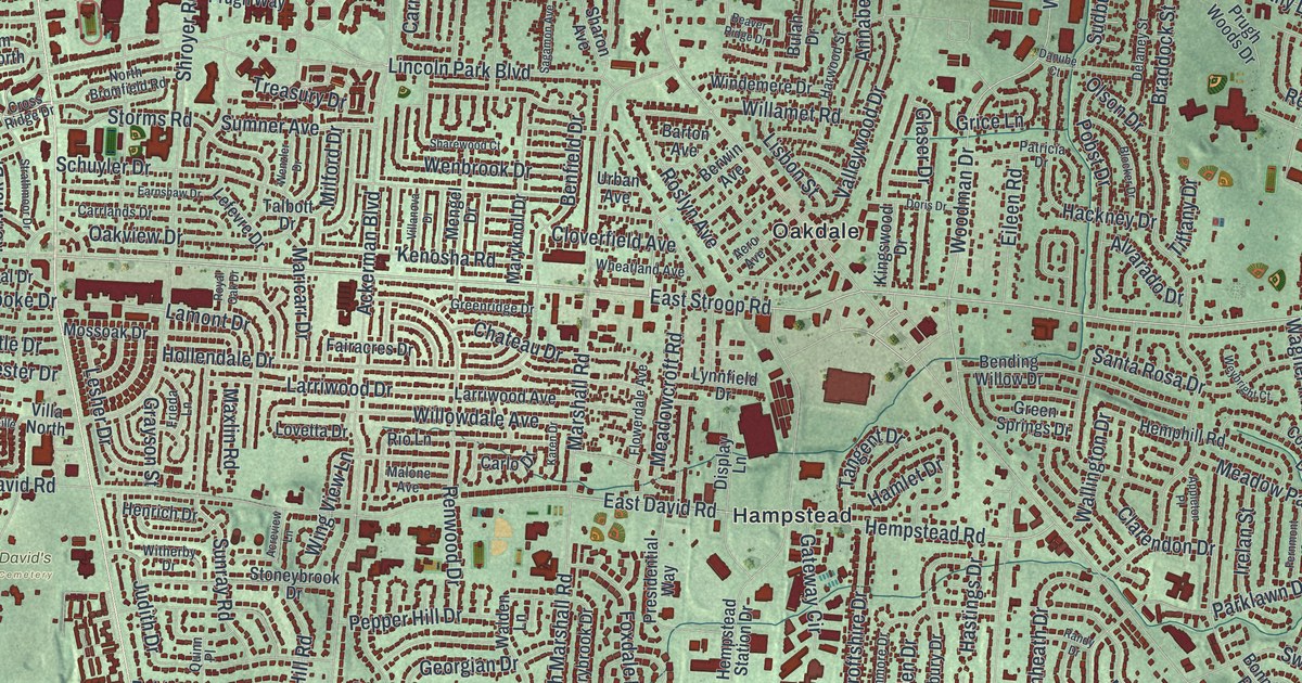
Trace Kettering from Delco Park to Far Hills Avenue and Shakertown, then learn how Mad River Road began in 1795 as the first road over land from Cincinnati to Dayton.
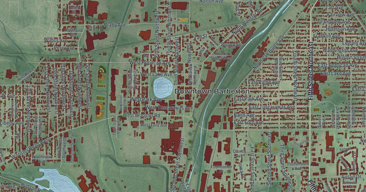
O.C. Barber’s Anna Dean Farm once spread across Barberton’s east side. Follow Robinson Avenue, Fifth Street Southeast and Austin Drive on this new map, then find Downtown Barberton, Johnsons Corners and Newton Park.