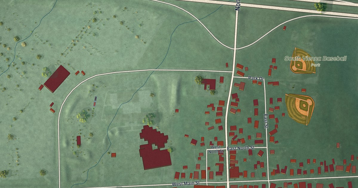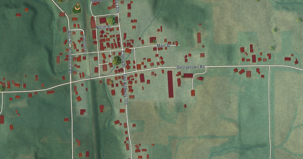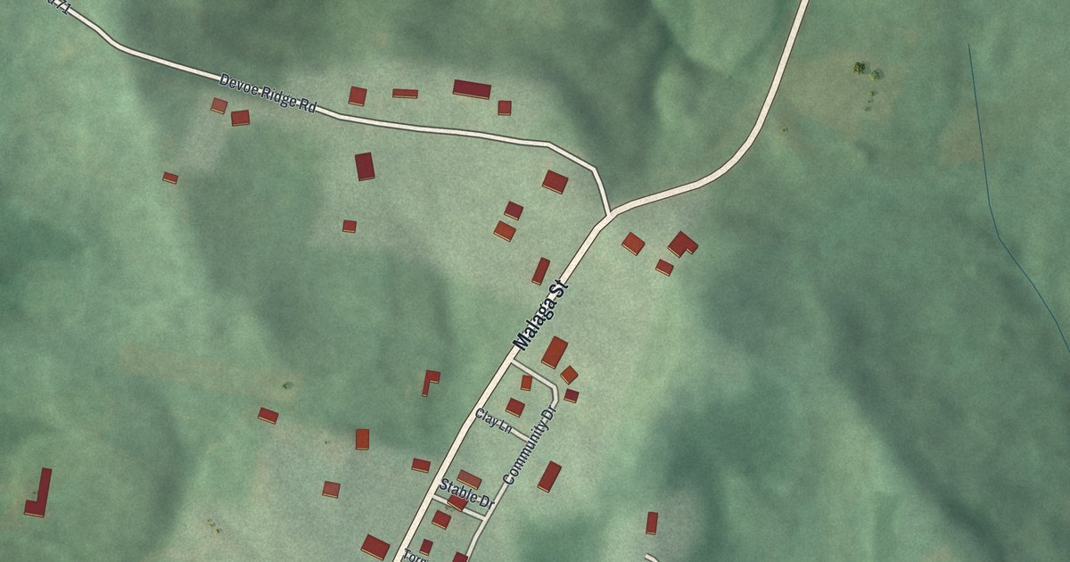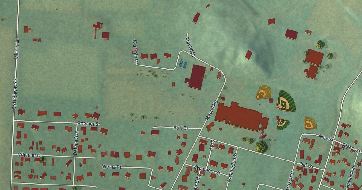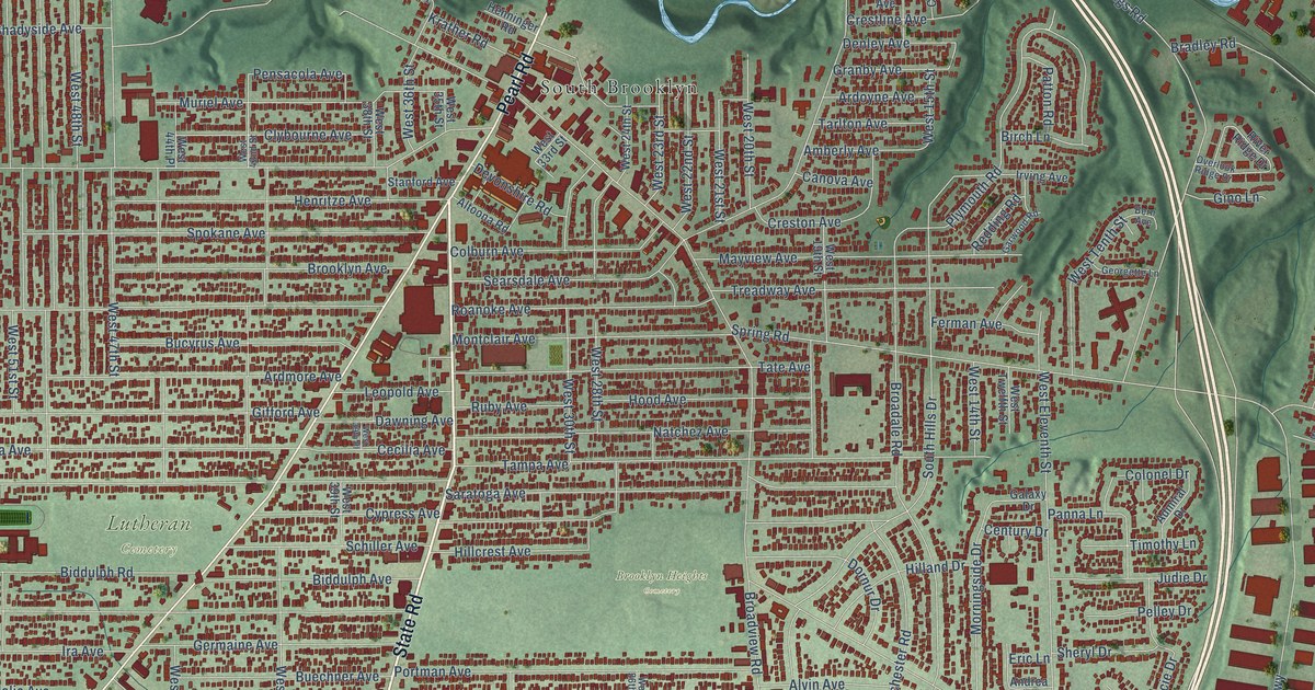
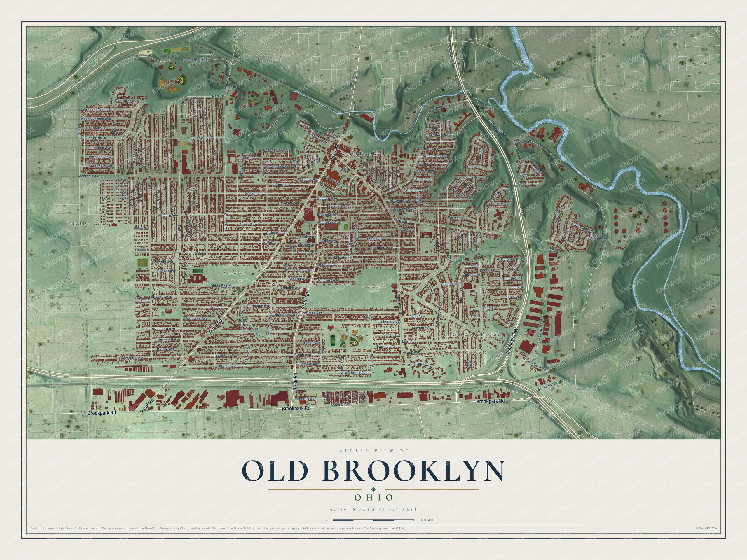
This beautifully detailed map of Old Brooklyn, Ohio was created in 2026 using aerial imagery combined with modern topographical, census, street and landmark data. It’s a one-of-a-kind view of Old Brooklyn that combines accurate data with a vintage aesthetic. The map shows every building in its true location, many of the roads carry their names, and the shaded topographic relief shows the shape of the land.
Explore an aerial view of Old Brooklyn, Ohio
On the map you’ll find Brooklyn Acres, Broadview Gardens, Brooklyn Heights, Brooklyn Heights Cemetery, Loew Park, Lutheran Cemetery, South Brooklyn, and Jennings Fwy, along with State Road, Brookpark Road, Pearl Road, Burger Avenue, and more. If you look closely you can even find your house accurately drawn in its correct location. Zoom in on the preview to look for yours.
Take a closer look at the Old Brooklyn map
Names on this map
These names are printed on this map.
Places: Brooklyn Acres, Broadview Gardens, Brooklyn Heights, Brooklyn Heights Cemetery, Loew Park, Lutheran Cemetery and South Brooklyn.
Streets and roads: Jennings Fwy, State Road, Brookpark Road, Pearl Road, Burger Avenue, Fulton Road, Outer Drive, West Drive, Broadview Road, Memphis Avenue, West 58th Street, Wetzel Avenue.
More street names, A to Z
Admiral Drive, Altoona Road, Alvin Avenue, Amberly Avenue, Andrea Lane, Archmere Avenue, Ardmore Avenue, Ardoyne Avenue, Bader Avenue, Bangor Avenue, Behrwald Avenue, Bern Avenue, Biddulph Avenue, Biddulph Road, Birch Lane, Bradley Road, Broadale Road, Brooklyn Avenue, Brookside Drive, Bucyrus Avenue, Bucyrus Drive, Buechner Avenue, Canova Avenue, Cecilia Avenue, Century Drive, Clybourne Avenue, Colburn Avenue, Colonel Drive, Cook Avenue, Crest Drive, Crestline Avenue, Creston Avenue, Cypress Avenue, Dawning Avenue, Dellbank Drive, Delora Avenue, Denley Avenue, Devonshire Road, Dornur Drive, East Dawning Drive, Elston Avenue, Eric Lane, Fairdale Avenue, Ferman Avenue, Fifth Street, First Street, Flowerdale Avenue, Fulton Parkway, Galaxy Drive, Galion Avenue, Garwood Road, Georgette Lane, Germaine Avenue, Gifford Avenue, Gifford Drive, Gino Lane, Granby Avenue, Henninger Road, Henritze Avenue, Hilland Drive, Hillcrest Avenue, Hinckley Avenue, Hinckley Industrial Parkway, Hood Avenue, Ira Avenue, Irving Avenue, Jennings Road, John Nagy Boulevard, Judie Drive, Krather Road, Landchester Road, Lennox Avenue, Leopold Avenue, Marcie Drive, Maynard Avenue, Mayview Avenue, Meadowbrook Avenue, Merl Avenue, Montclair Avenue, Morningside Drive, Muriel Avenue, Natchez Avenue, Northcliff Avenue, Oak Park Avenue, Old Brookpark Road, Orchard Grove Avenue, Overlook Ridge Drive, Panna Lane, Park Drive, Parkridge Avenue, Patton Road, Pelley Drive, Pensacola Avenue, Plainfield Avenue, Pleasantdale Road, Plymouth Road, Portman Avenue, Ralph Avenue, Redding Road, Revere Court, Ridge Road, Ridgeview Road, River Ridge Drive, Roanoke Avenue, Ruby Avenue, Saratoga Avenue, Schell Avenue, Schiller Avenue, Searsdale Avenue, Shadyside Avenue, Sheryl Drive, Silverdale Avenue, Sixth Street, Sky Lane Drive, Skyview Road, Southfield Avenue, South Hills Drive, South Ridge Drive, Spokane Avenue, Spring Road, Stanford Avenue, Starlight Drive, Stickney Avenue, Sunrise Drive, Sunset Drive, Tampa Avenue, Tarlton Avenue, Tate Avenue, Third Street, Timothy Lane, Traymore Avenue, Treadway Avenue, Valley Road, Vandalia Avenue, Van Epps Road, Walbrook Avenue, West 13th Street, West 14th Street, West 15th Street, West 19th Street, West 20th Street, West 21st Street, West 22nd Street, West 23rd Street, West 24th Street, West 25th Street, West 26th Street, West 28th Street, West 29th Street, West 30th Street, West 32nd Street, West 33rd Street, West 35th Street, West 36th Street, West 38th Street, West 39th Place, West 39th Street, West 41st Street, West 42nd Street, West 44th Place, West 44th Street, West 45th Street, West 47th Street, West 48th Street, West 49th Street, West 50th Street, West 51st Street, West 52nd Street, West 53rd Street, West 54th Street, West 56th Street, West 57th Street, West 59th Street, West 60th Street, West 61st Street, West 62nd Street, West 63rd Street, West 66th Street, West Eleventh Street, West Fourth Street, West Schaaf Road, West Sixth Street, West Tenth Street, West Twelfth Street, Wichita Avenue, Wildlife Way, Woburn Avenue, Woodhaven Avenue.
See it on a wall
The Old Brooklyn map as a framed print. Swipe for more.


This beautifully detailed map of Old Brooklyn makes an attractive addition to your office, library, or den, and it can even be used to teach children the geography and history of the area. It also makes a great gift for anyone who grew up in Old Brooklyn or moved away. When you’re done exploring, click here to get your copy of the Old Brooklyn map.