Ohio Map Prints
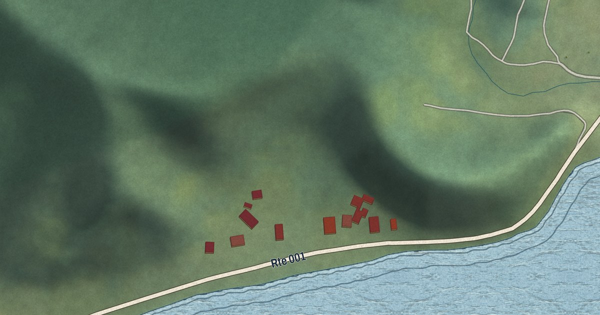
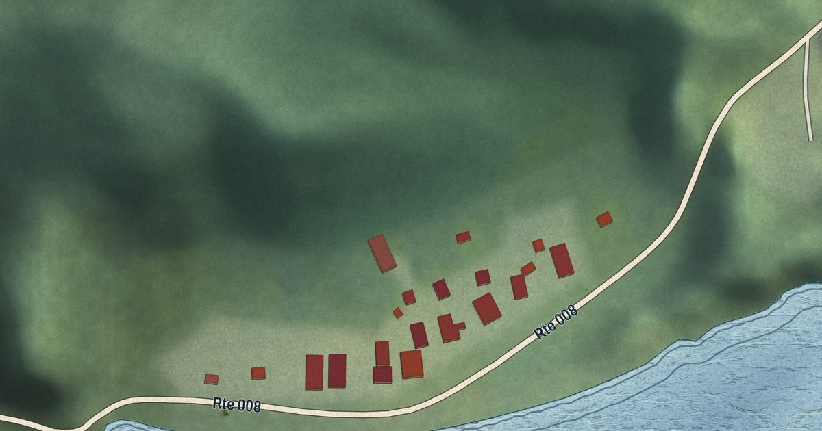
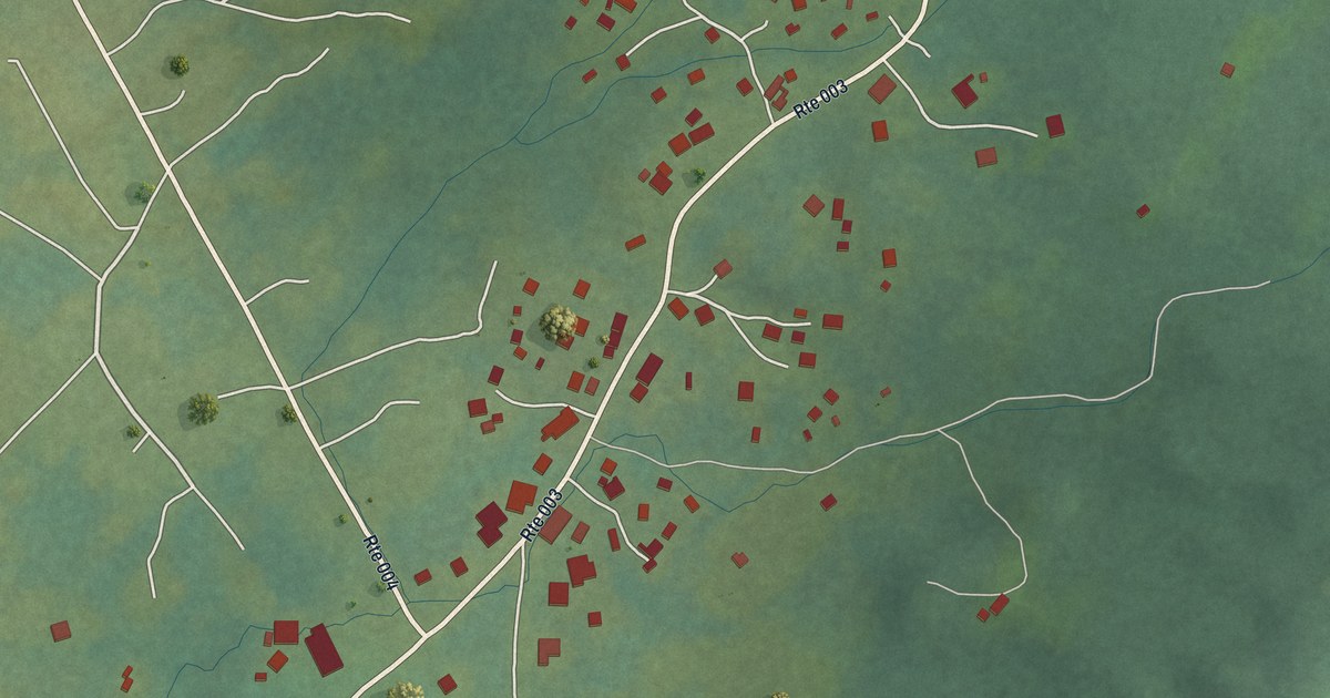
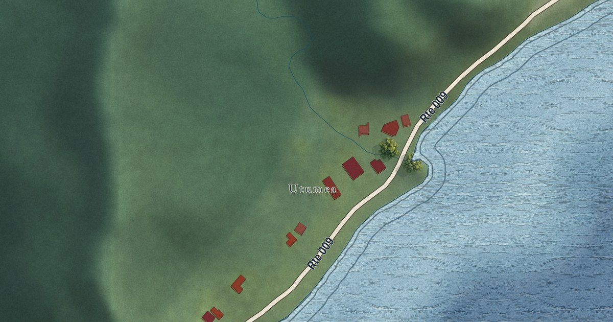
We make detailed maps of Ohio towns, the way they look today. Type yours and see its map.
Or pick a county on the map.
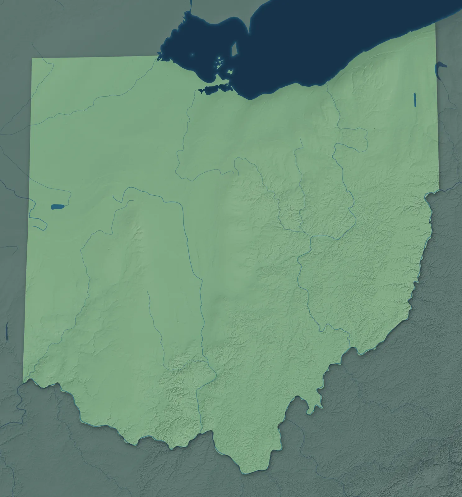
A town mapPick a county to look closer.
Ohio Towns by County
961 town maps in 88 counties. Open one to see its towns.
Adams County5
Ashtabula County10
Belmont County14
Brown County9
Butler County11
Carroll County5
Clark County10
Clermont County12
Columbiana County13
Coshocton County6
Crawford County7
Cuyahoga County57
- Bay Village
- Beachwood
- Bedford
- Bedford Heights
- Bentleyville
- Berea
- Bratenahl
- Brecksville
- Broadview Heights
- Brook Park
- Brooklyn
- Brooklyn Heights
- Chagrin Falls
- Cleveland
- Cleveland Heights
- Cuyahoga Heights
- East Cleveland
- Euclid
- Fairview Park
- Garfield Heights
- Gates Mills
- Glenwillow
- Highland Heights
- Highland Hills
- Hunting Valley
- Independence
- Lakewood
- Linndale
- Lyndhurst
- Maple Heights
- Mayfield
- Mayfield Heights
- Middleburg Heights
- Moreland Hills
- Newburgh Heights
- North Olmsted
- North Randall
- North Royalton
- Oakwood, Cuyahoga County
- Olmsted Falls
- Orange
- Parma
- Parma Heights
- Pepper Pike
- Richmond Heights
- Rocky River
- Seven Hills
- Shaker Heights
- Solon
- South Euclid
- Strongsville
- University Heights
- Valley View
- Walton Hills
- Warrensville Heights
- Westlake
- Woodmere
Darke County19
Defiance County4
Fairfield County14
Franklin County26
Geauga County5
Greene County10
Guernsey County9
Hamilton County53
- Addyston
- Amberley
- Arlington Heights
- Blue Ash
- Bridgetown
- Cheviot
- Cincinnati
- Cleves
- Covedale
- Deer Park
- Delhi Hills
- Dent
- Dry Run
- Elmwood Place
- Evendale
- Fairfax
- Finneytown
- Forest Park
- Forestville
- Glendale
- Golf Manor
- Greenhills
- Groesbeck
- Harrison
- Kenwood
- Lincoln Heights
- Lockland
- Loveland
- Mack
- Madeira
- Mariemont
- Miami Heights
- Monfort Heights
- Montgomery
- Mount Healthy
- New Burlington
- Newtown
- North Bend
- North College Hill
- Northbrook
- Northgate
- Norwood
- Reading
- Sharonville
- Silverton
- Springdale
- St. Bernard
- Terrace Park
- The Village of Indian Hill
- Turpin Hills
- White Oak
- Woodlawn
- Wyoming
Hancock County11
Hocking County3
Holmes County5
Jefferson County17
Lake County19
Licking County14
Logan County13
Lorain County16
Mahoning County11
Medina County9
Meigs County5
Miami County12
Monroe County10
Montgomery County19
Morgan County4
Muskingum County9
Paulding County10
Perry County12
Pickaway County8
Preble County11
Putnam County15
Sandusky County8
Scioto County6
Shelby County9
Stark County21
Summit County24
Trumbull County13
Tuscarawas County19
Vinton County4
Warren County14
Washington County7
Wayne County15
Wood County25
Don’t see your town? Ask us to draw it.
A Few Places to Start
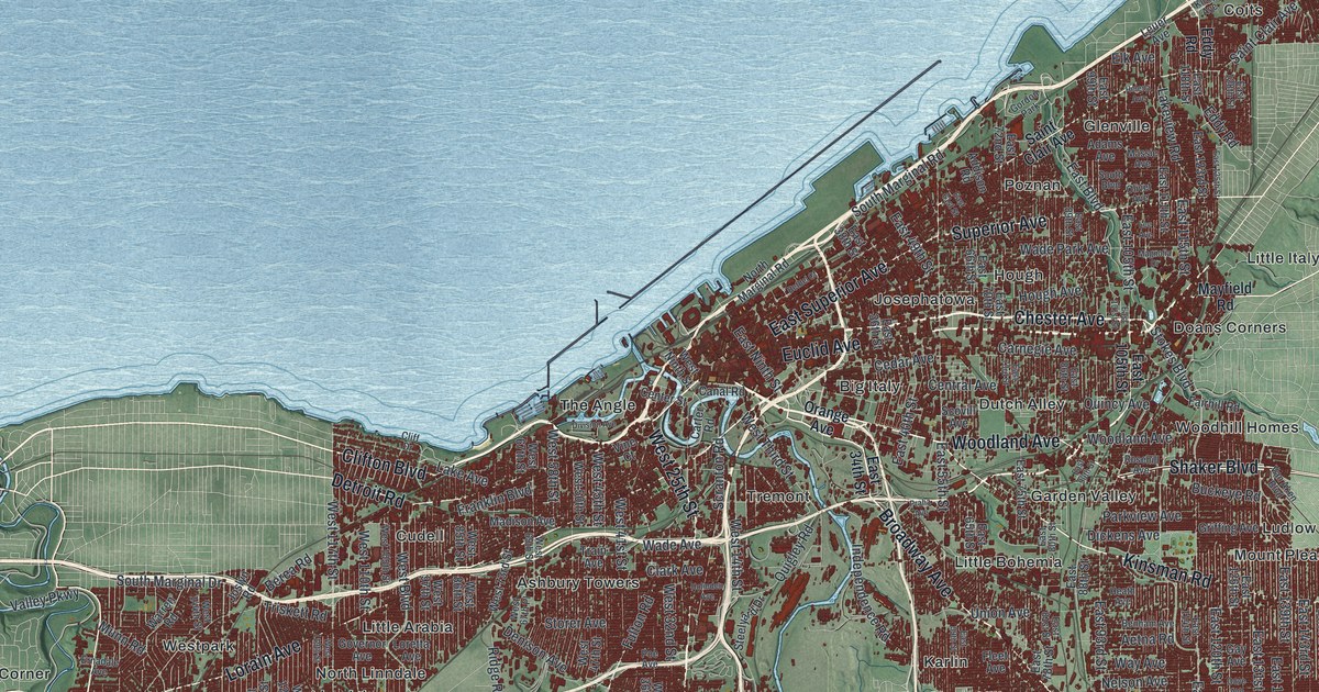
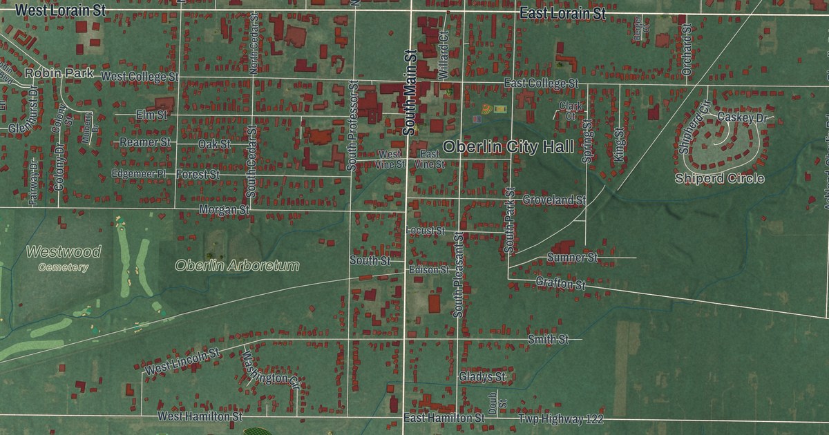
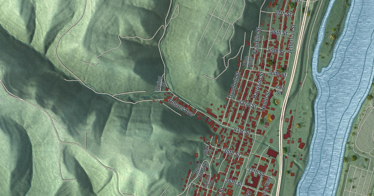
How Each Map Is Made
It starts with the real place
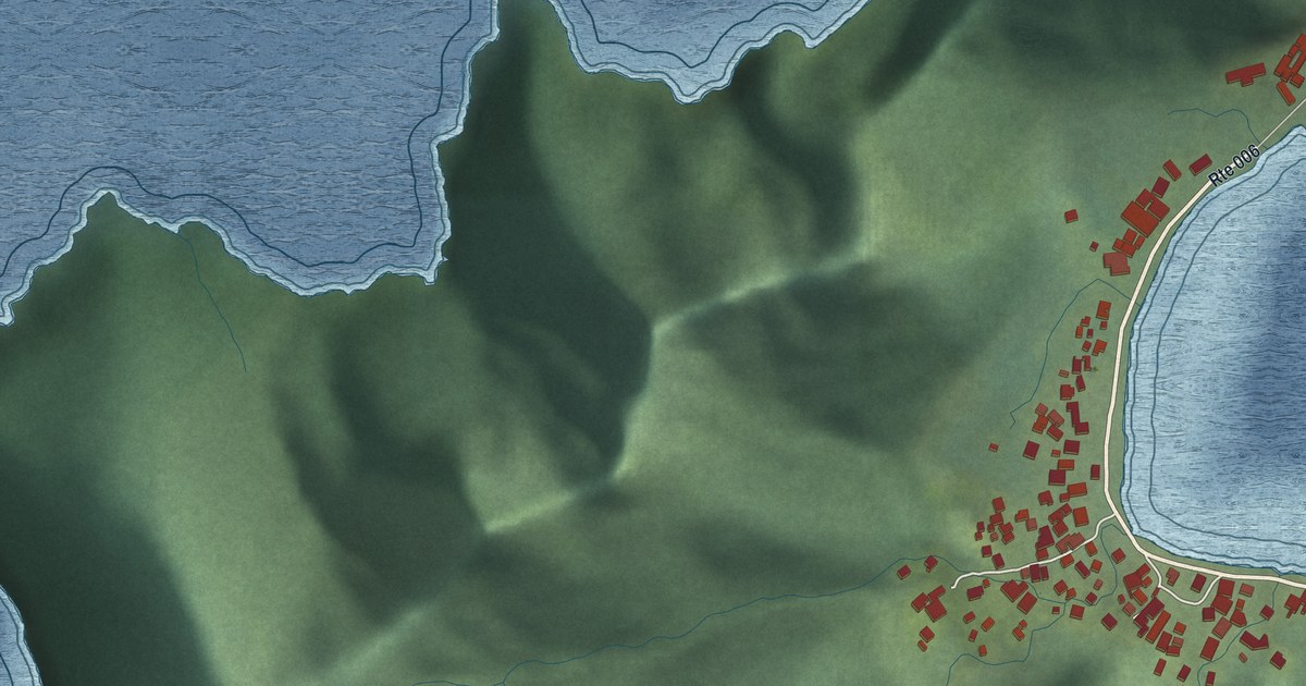
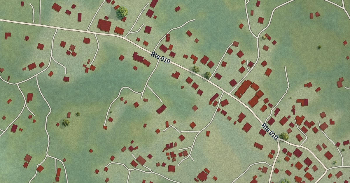
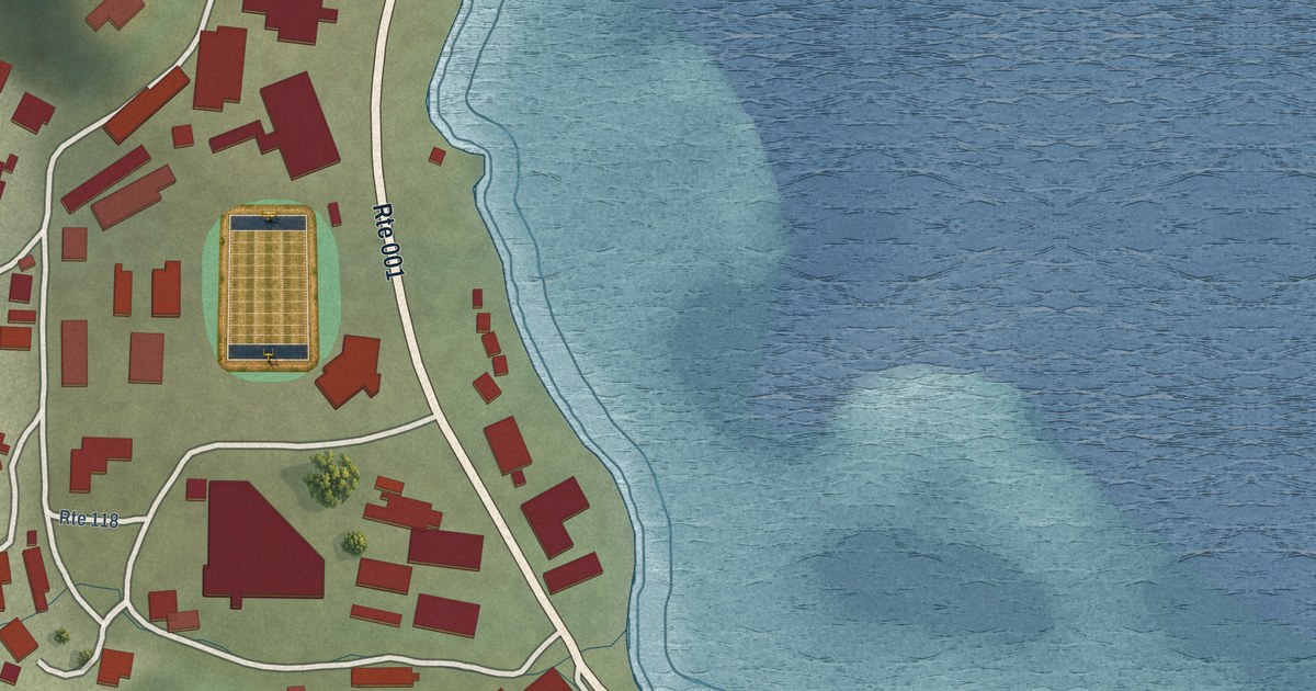
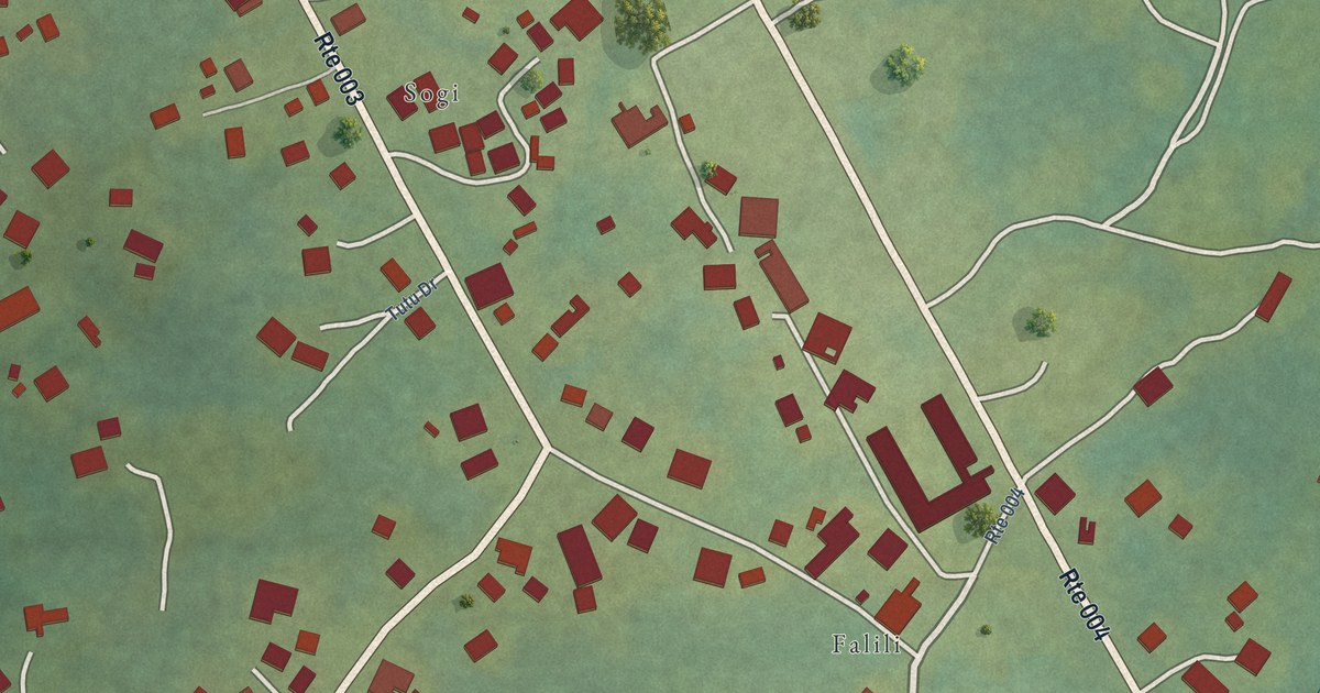
Streets, buildings, terrain and water form the map, drawn the way Ohio looks today.
Then the details
Local research and an old atlas style give each town its character.
Then it’s yours
Look around the map, then pick a print to keep or give.