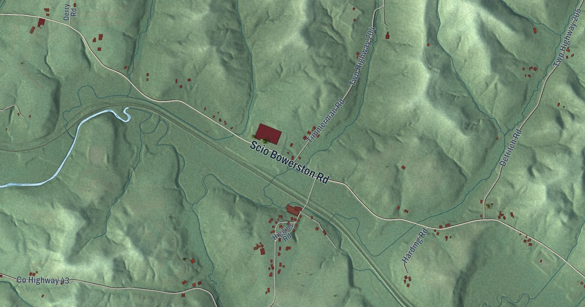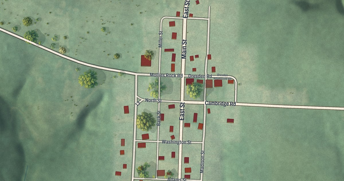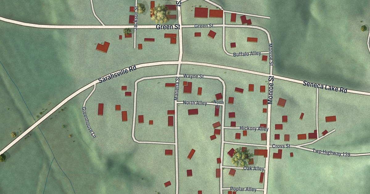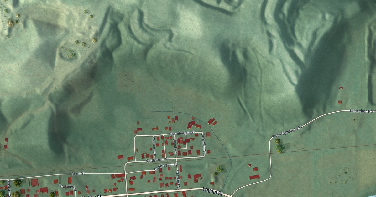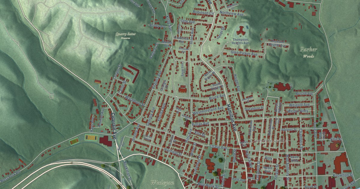
This beautifully detailed map of Northside, Ohio was created in 2026 using aerial imagery combined with modern topographical, census, street and landmark data. It’s a one-of-a-kind view of Northside that combines accurate data with a vintage aesthetic. The map shows every building in its true location, many of the roads carry their names, and the shaded topographic relief shows the shape of the land.
Explore an aerial view of Northside, Ohio
On the map you’ll find Parker Woods, Quarry Saint Preserve, Wesleyan Cemetery, Cumminsville, and Knowltons Corner, along with Colerain Avenue, South Ludlow Avenue, Hamilton Avenue, Langland Street, Beekman Street, Powers Street, Elmore Street, and more. If you look closely you can even find your house accurately drawn in its correct location. Zoom in on the preview to look for yours.
Did You Know?
From Internet Archive: "Parkin is a republican in politics, a member of the Northside Improvement Club and is a charter member of the Plymouth Congregational Church of which his family are also members."
Northside is a place in Hamilton County.
Take a closer look at the Northside map
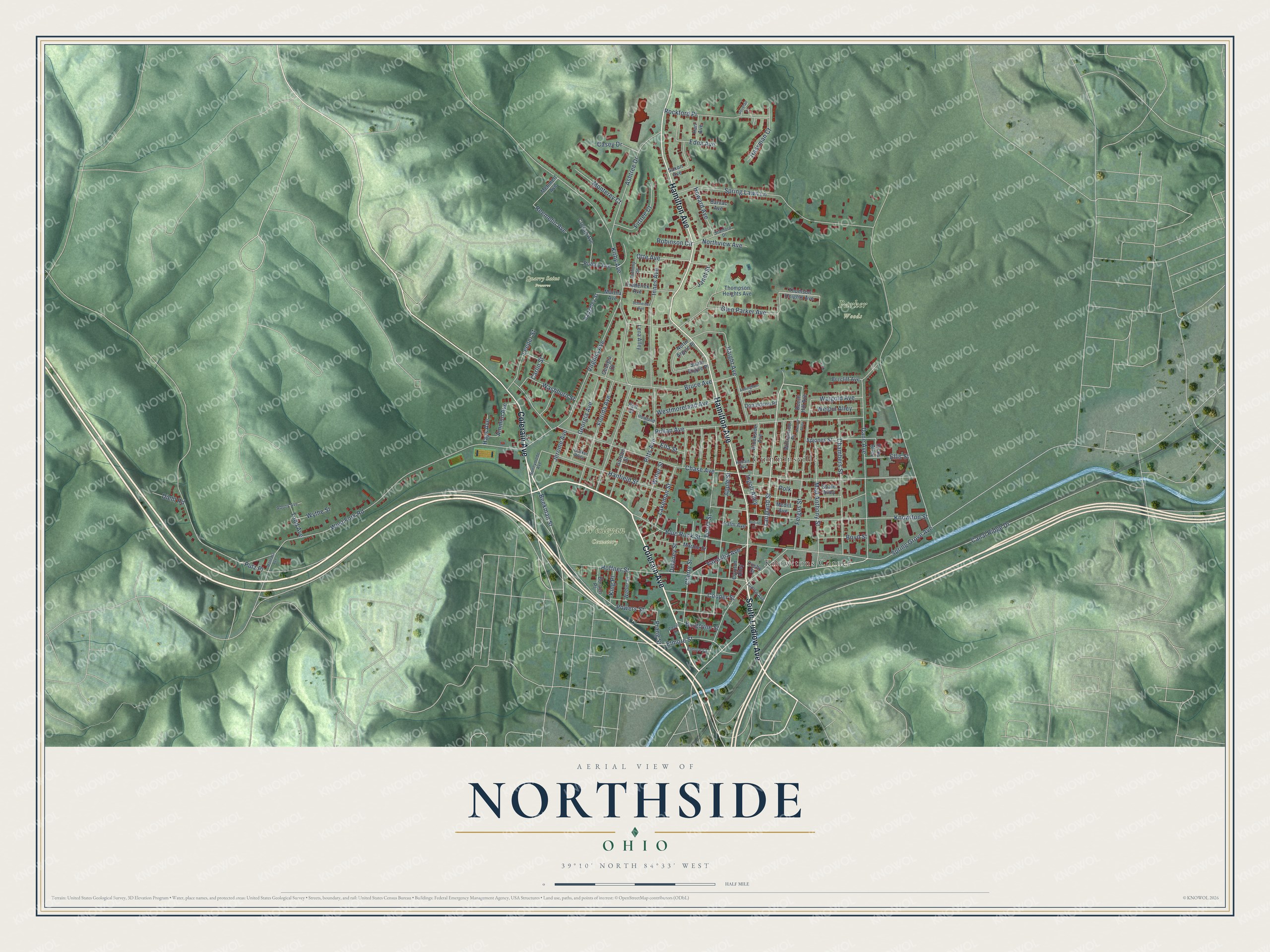
Names on this map
These names are printed on this map.
Places: Parker Woods, Quarry Saint Preserve, Wesleyan Cemetery, Cumminsville and Knowltons Corner.
Streets and roads: Colerain Avenue, South Ludlow Avenue, Hamilton Avenue, Langland Street, Beekman Street, Powers Street, Elmore Street, Otte Avenue, Chase Avenue, Kirby Avenue, West Fork Road, Canal Ridge Drive.
More street names, A to Z
Addingham Place, Adony Avenue, Ammon Avenue, Anthony Street, Apjones Street, Apple Street, Armour Alley, Ashtree Drive, Badgeley Street, Barvac Avenue, Beech Hill Avenue, Bercliff Avenue, Blue Rock Street, Borden Place, Boyd Street, Brookside Avenue, Bruce Avenue, Burgoyne Street, Carlin Street, Casey Drive, Cecil Street, Chambers Street, Cherry Street, Cluxton Alley, Cooper Street, Cosby Street, Cresap Avenue, Dane Avenue, Delaney Street, Dicks Alley, Diehl Road, Donaldson Place, Dovetail Lane, Edna Avenue, Ella Street, Ellis Street, Elmore Court, Fergus Street, Firtree Court, Florida Avenue, Frederick Avenue, Georgia Avenue, Georgia Court, Glen Parker Avenue, Gordon Street, Haight Avenue, Hanfield Street, Hart Avenue, Hassman Court, Hays Avenue, Hobart Avenue, Hoffner Street, Howard Avenue, Howland Place, Ingoll Alley, Innes Avenue, Janet Street, Jerome Avenue, King Place, Knowlton Street, Lakeman Street, Leeper Street, Lena Alley, Looker Alley, Ludlow Avenue, Mad Anthony Street, Marble Street, Martha Avenue, Medill Avenue, Mehmert Avenue, Moline Court, Montana Avenue, Monterey Court, North Argyle Place, Northview Avenue, Palm Avenue, Pell Street, Pitts Avenue, Polk, Prang Street, Pullan Avenue, Putz Place, Reemelin Avenue, Robinson Circle, Robley Avenue, Rockford Place, Runnymede Avenue, Saxon Avenue, Schneider Avenue, Shale Alley, South Argyle Place, Spring Grove Avenue, Spring Lawn Lane, Stanford Drive, Thompson Heights Avenue, Thomson Heights Avenue, Todd Avenue, Turrill Street, Vandalia Avenue, Virginia Avenue, Washburn Street, Weber Place, Weigold Avenue, Weipul Alley, Westmoreland Avenue, Williamson Place, Witler Street, Wythe Street.
See it on a wall
The Northside map as a framed print. Swipe for more.


This beautifully detailed map of Northside makes an attractive addition to your office, library, or den, and it can even be used to teach children the geography and history of the area. It also makes a great gift for someone who left Northside and still calls it home. When you’re done exploring, click here to get your copy of the Northside map.