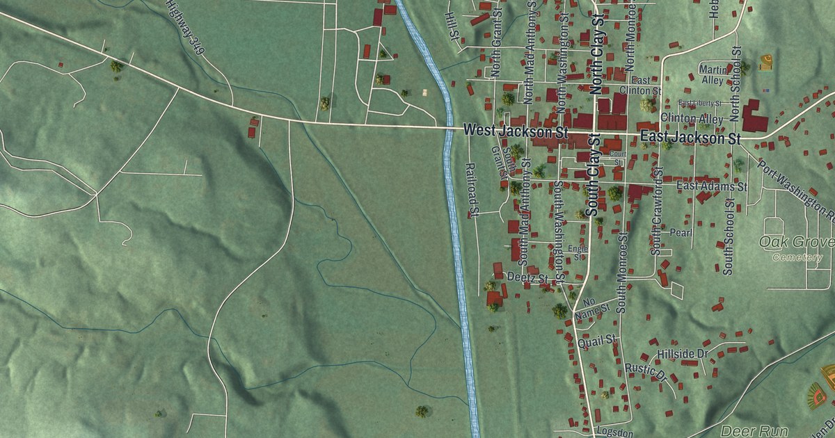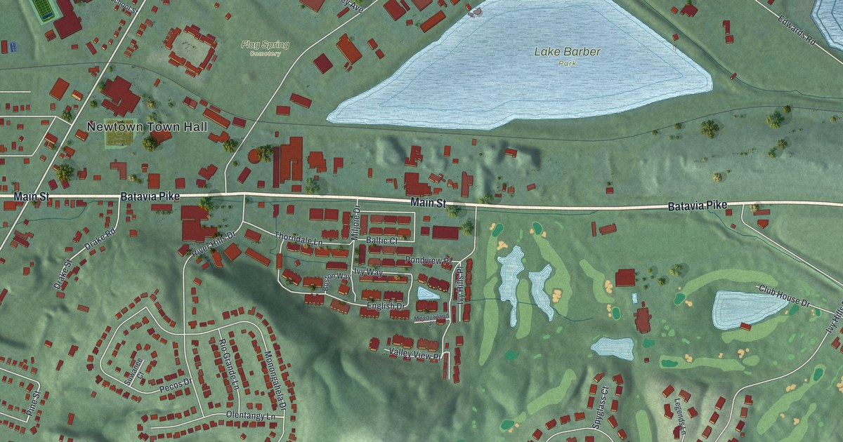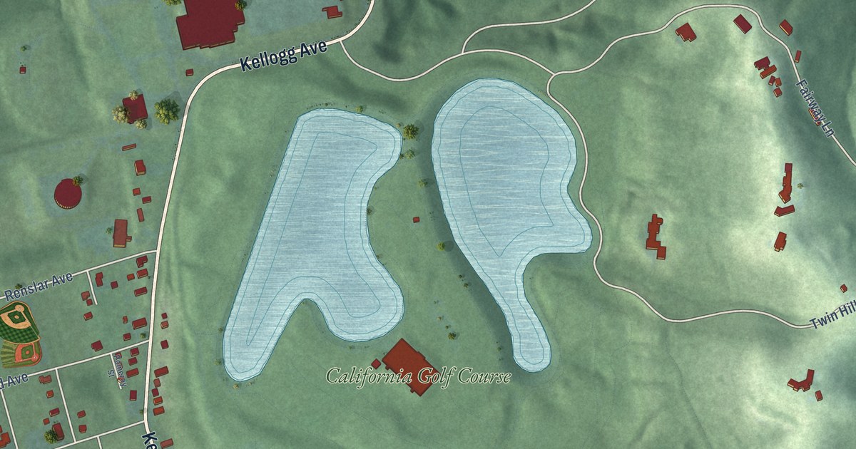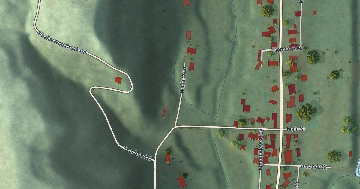
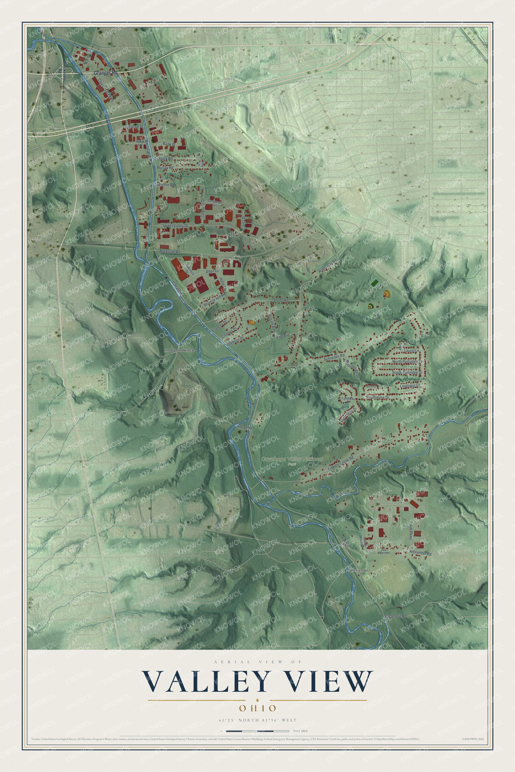
This beautifully detailed map of Valley View, Ohio was created in 2026 using aerial imagery combined with modern topographical, census, street and landmark data. It’s a one-of-a-kind view of Valley View that combines accurate data with a vintage aesthetic. The map shows every building in its true location, many of the roads carry their names, and the shaded topographic relief shows the shape of the land.
Explore an aerial view of Valley View, Ohio
On the map you’ll find Alexander, Cuyahoga Valley National Park, and Independence, along with Granger Road, Sagamore Road, Canal Road, Tinkers Creek Road, Rockside Road, Hathaway Road, West Canal Road, Schreiber Road, Strathmore Drive, and more. If you look closely you can even find your house accurately drawn in its correct location. Zoom in on the preview to look for yours.
Did you know this piece of Valley View, Ohio history?
Valley View took its name from the Cuyahoga River valley. The village was incorporated in 1919. Its residents broke away from Independence after a dispute over where the schools should be built.
Take a closer look at the Valley View map
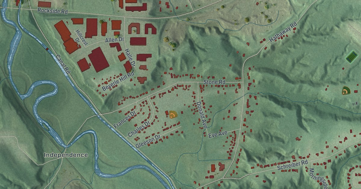
Street and place names on the Valley View, Ohio map
These names are printed on the map of Valley View, Ohio.
Places: Alexander, Cuyahoga Valley National Park and Independence.
Streets and roads: Granger Road, Sagamore Road, Canal Road, Tinkers Creek Road, Rockside Road, Hathaway Road, West Canal Road, Schreiber Road, Strathmore Drive, Stone Road, Hub Parkway, Sweet Valley Drive.
More street names, A to Z
Abbey Court, Aldersyde Drive, Alexander Road, Allen Drive, Bank Street, Beyerle Hill Road, Brecksville Road, Brockway Drive, Carey Drive, Charles Drive, Cloverleaf Parkway, Corporate Circle, Donald Avenue, Eve Avenue, Exchange Street, Fitzwater Road, Fosdick Road, Frances Drive, Gleeson Drive, Halle Drive, Heinton Road, Hillcrest Drive, Hillside Road, Indian Mound Road, Laurel Lane, Longspur Court, Lyndway Drive, Morningside Drive, Murray Road, North Partridge Drive, Old Alexander, South Partridge Drive, Tiny Lane, Towpath Drive, Wall Street, Warner Road.
See the Valley View, Ohio map on a wall
The Valley View map as an 18 x 24 inch print in a black frame.

This beautifully detailed map of Valley View makes an attractive addition to your office, library, or den, and it can even be used to teach children the geography and history of the area. It also makes a great gift for anyone with Valley View roots. When you’re done exploring, click here to get your copy of the Valley View map.