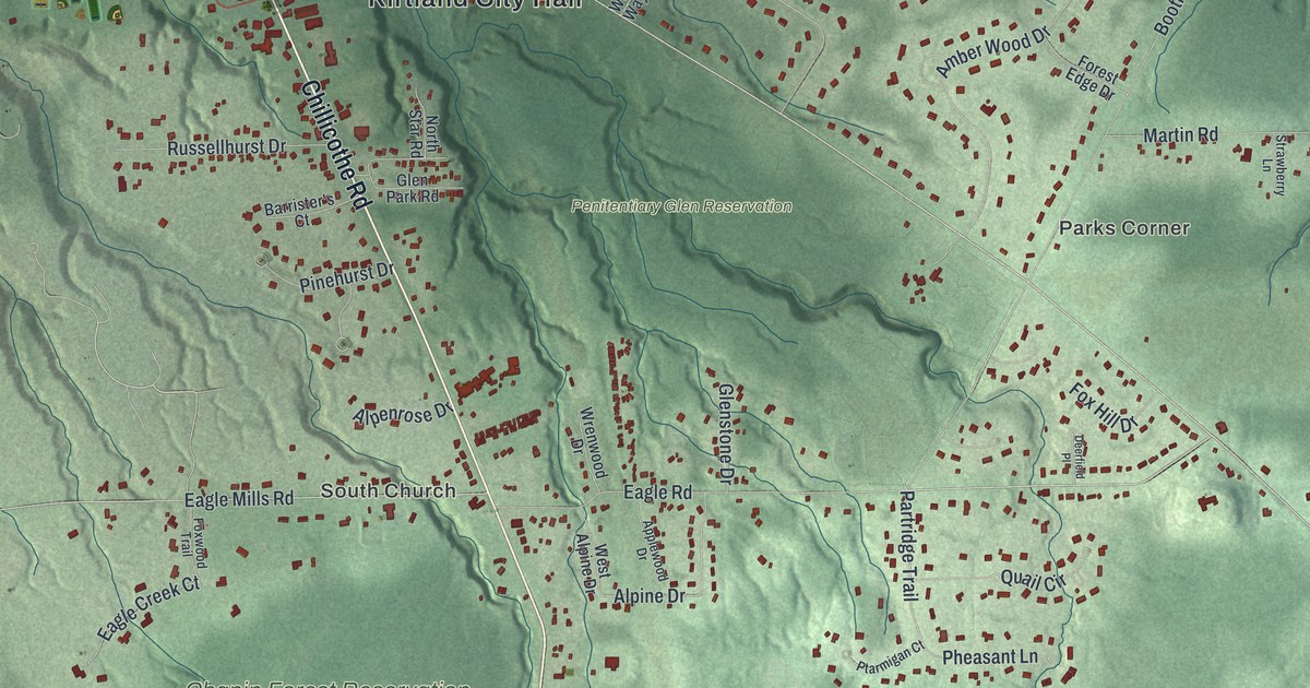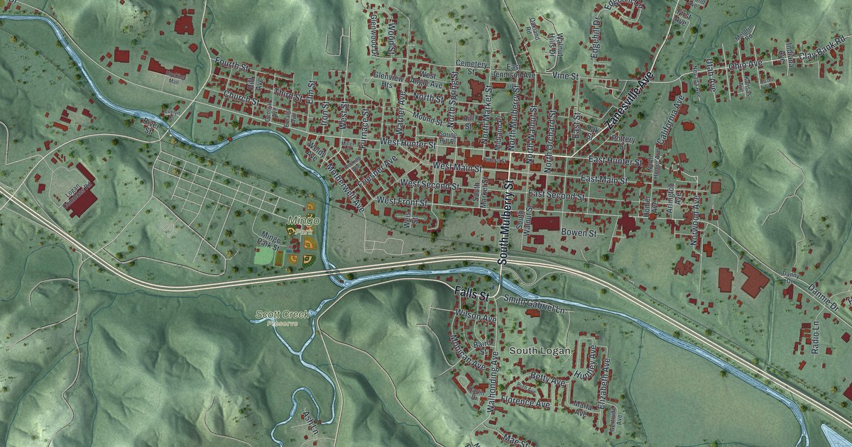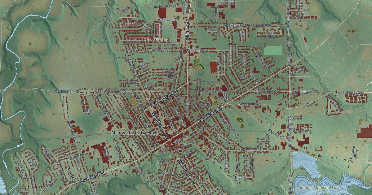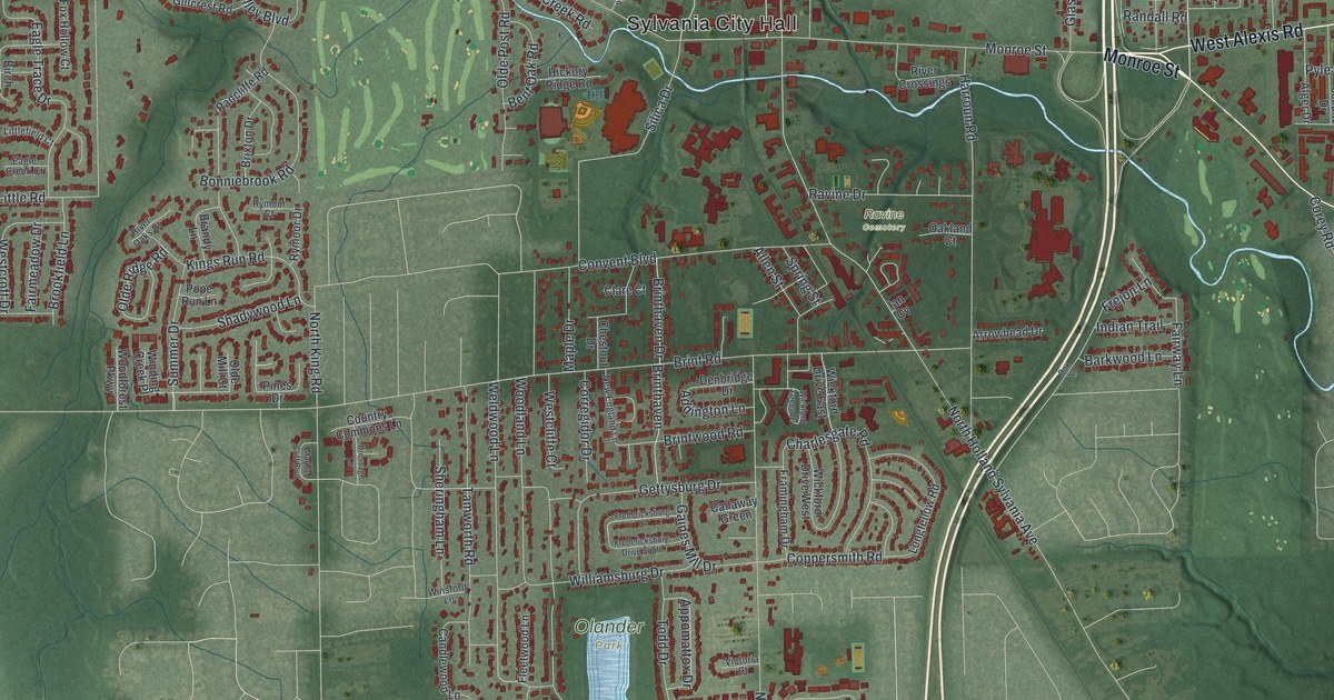
If you grew up swimming at Centennial Quarry or living off Monroe Street, you'll know this ground. It's a modern aerial view of Sylvania in Lucas County, Ohio, made with modern data and given a vintage feel. Soft green land fills the sheet. About 15,000 buildings show in red, and a thin blue river winds past Sylvania City Hall.
Dancing Under the Stars at Centennial Terrace
On this map you'll find Monroe Street, Main Street, Sylvania Avenue, West Alexis Road, Erie Street, Convent Boulevard, Harroun Road, Centennial Road, North King Road, Brint Road, Sylvania City Hall, Olander Park, Ravine Cemetery, Toledo Memorial Park, and more. Each red shape is a building, so zoom in on the preview and look for yours.
Near the spot the map marks as Centennial, the land was once a stone quarry. The France Stone Company shut it down in 1931. In 1934, Robert Burge leased 19 acres and opened Centennial Quarry for swimming. Five years later, he and his partners opened Centennial Terrace. Its heart was "Dancing Under the Stars," an outdoor dance floor of 10,000 square feet. Big bands of the 1940s and '50s played there again and again. The complex was given to Lucas County in 1969. Local band leaders kept people dancing there from 1971 to 1993. The city then fixed up the quarry and opened it again. In 2007, the Sylvania Area Joint Recreation District bought the whole place. An Ohio historical marker on Centennial Road tells the story.
Sylvania, Home of the Toledo and Western Railway
Sylvania was once the home base of the Toledo and Western Railway. It was an electric line that ran between Toledo and Pioneer, with a branch to Adrian, Michigan. Work started here in 1900. The company built its rails, a powerhouse, shops and offices. It hauled freight and carried riders. It also sold power to homes in Sylvania and along the line. It even carried the mail, one of the first lines of its kind to do so. Its marker stands by the Main Street bridge over the Ottawa River. On the map, look for Main Street where it meets the thin blue river near downtown.
From Sylvania City Hall to Olander Park
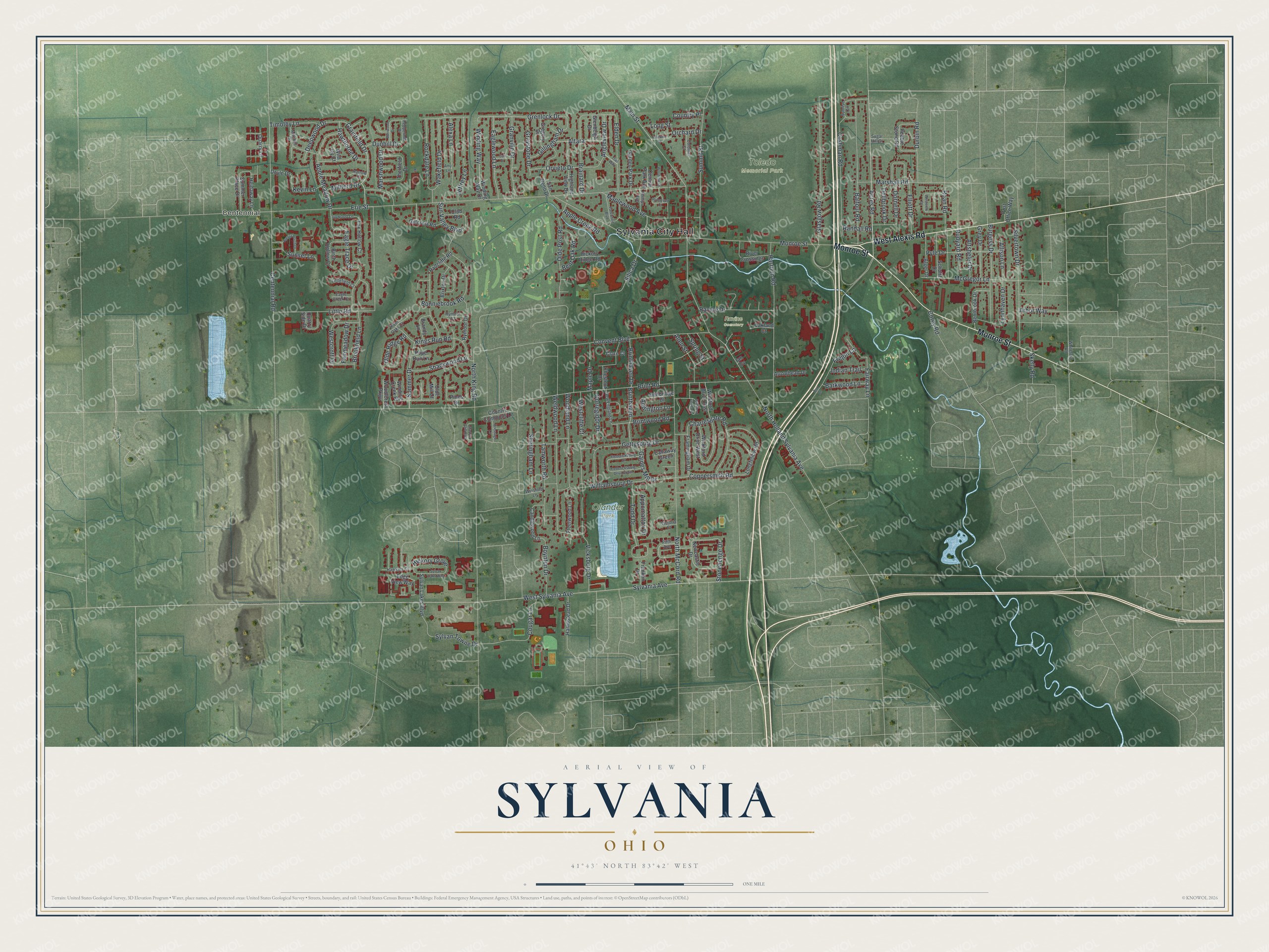
Created by KNOWOL in 2026, this print shows Sylvania from above in soft greens, with buildings in red and water in pale blue. The cream title panel at the bottom reads "Aerial View of Sylvania, Ohio" with 41°43' North 83°42' West.
It fits a living room, a home office or the hallway by the front door. It's a good gift for a Sylvania graduate, a new homeowner, or anyone who grew up near Olander Park or danced at Centennial Terrace. Open the preview and find your own street. See sizes and frames for the Sylvania map.