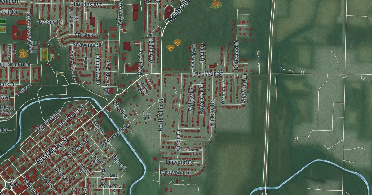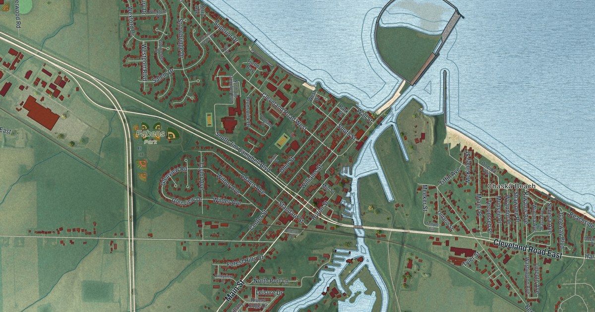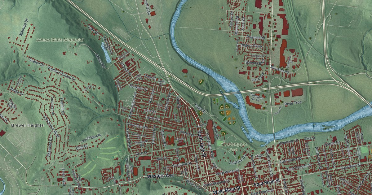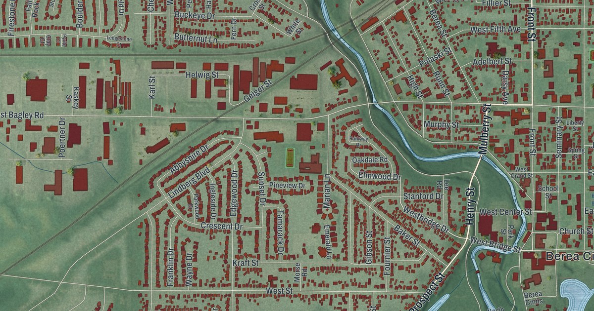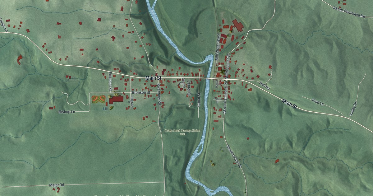
If you grew up in Peninsula or have family on Main Street, this map puts the whole village on one sheet. It's a new aerial view of Peninsula in Summit County, Ohio, made from modern data and given a vintage look. A winding blue river runs down the middle of the print. Green hills rise on both sides, and the village gathers where Main Street crosses the water.
The Ohio and Erie Canal Locks at Peninsula
On this map you'll find Main Street, West Streetsboro Road, Riverview Road, Akron-Peninsula Road, Canal Street, Mill Street West, North Locust Street, South Locust Street, Church Street, Bronson Street, Stine Road, Major Road, Truxell Road, Deep Lock Quarry Metro Park, Cuyahoga Valley National Park, and more. Each red shape is a building, so zoom in on the preview and look for yours.
The Ohio and Erie Canal once ran through this valley. Pieces of it still stand around Peninsula. In 1974 the National Register of Historic Places listed the Ohio and Erie Canal Deep Lock, south of the village on Riverview Road. Five years later it added more. Lock No. 28 made the list, and so did Lock No. 29 and its aqueduct. Lock No. 30 and its feeder dam were added too, along with Lock No. 31. The Register gives Lock No. 28's home as Deep Lock Quarry Metro Park. You can find that park on the map, just below Main Street near the river.
Boston Township Hall on Main Street
Main Street has its own landmark with a long story. An Ohio historical marker at 1775 Main Street tells it. In 1887, John Eisenmann designed the building for the Peninsula Board of Education. It brought two one-room schoolhouses together under one roof. A brick addition came in 1920. Boston Township bought the property in 1939, and it became Boston Township Hall. Union Grange #2380 used the first floor for nearly 50 years. In 1990 a local group formed to help restore it.
Peninsula, From Main Street to the Hills
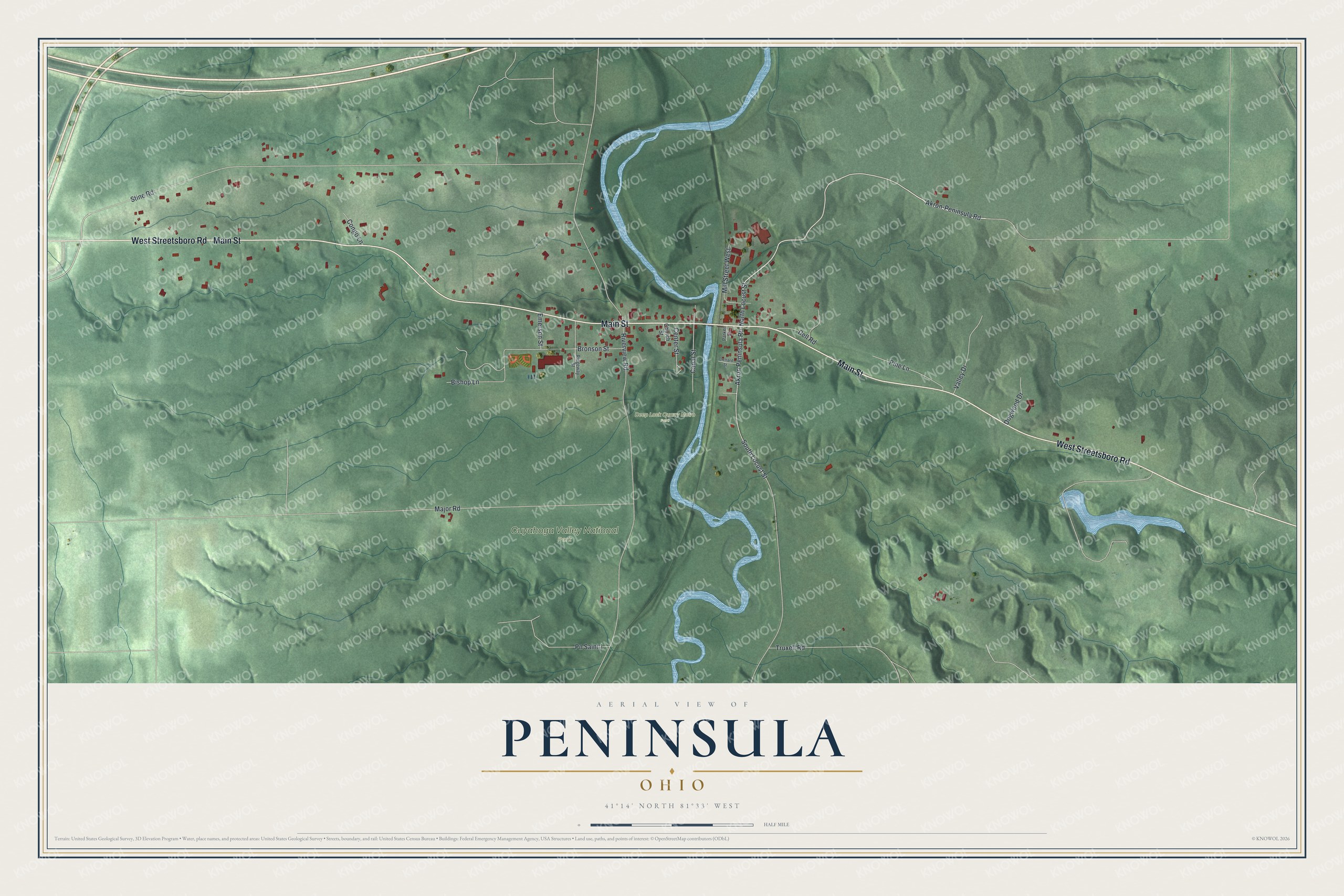
Created by KNOWOL in 2026, this print shows Peninsula as an aerial view in soft greens. The hills are shaded, the river is a winding blue line, and each building is marked in red. The title panel reads "Aerial View of Peninsula, Ohio" with 41°14' North 81°33' West below it.
It fits a living room, a den or a front hall. It's a good gift for anyone who grew up near Deep Lock Quarry Metro Park and later moved away. Open the preview and find Main Street first. See sizes and frames for the Peninsula map.