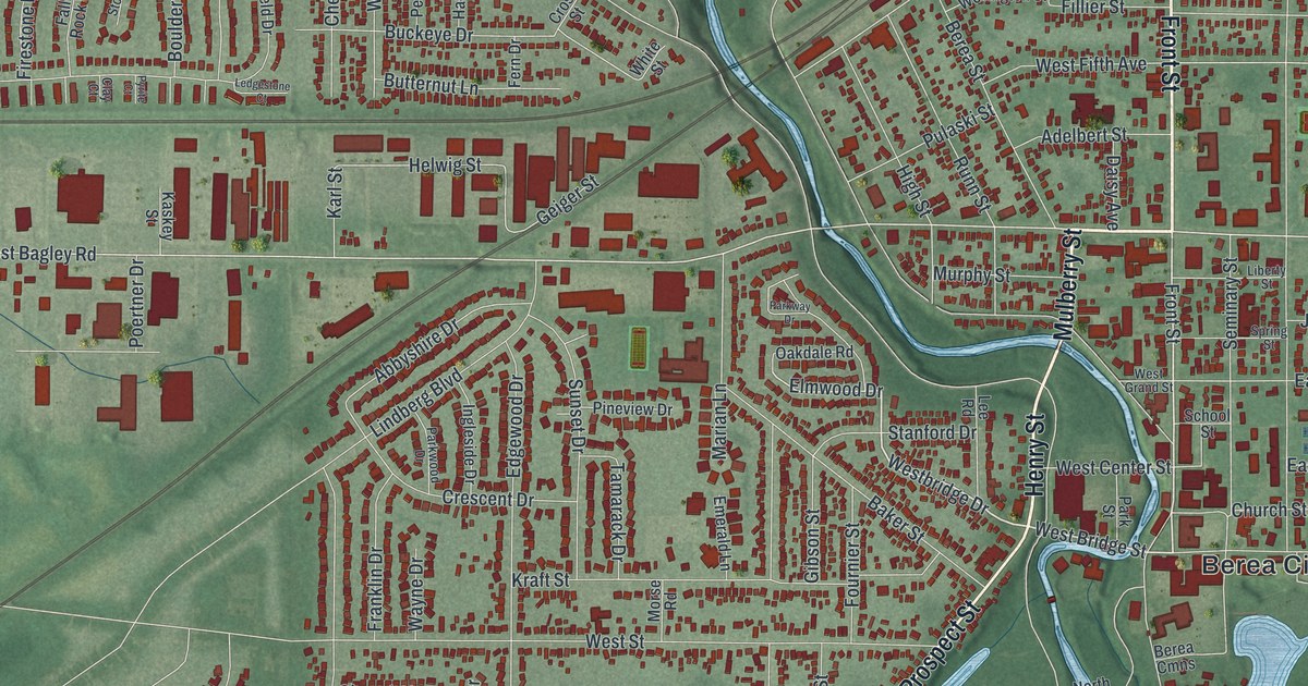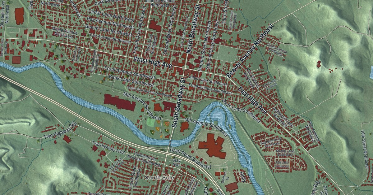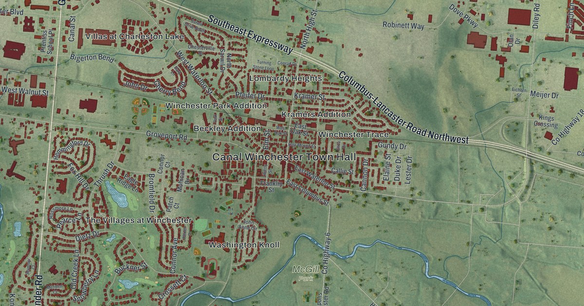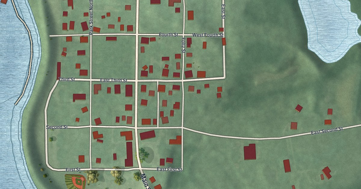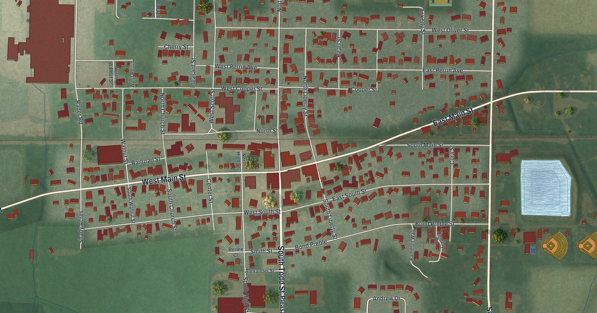
If you grew up along Main Street in McComb, or your family went to church on South Church Street, this map is for you. It's a new aerial view of McComb in Hancock County, Ohio, made from modern data and given a vintage look. The whole village sits in the middle of the sheet, with flat farm fields all around it. You can see the downtown blocks, the cemetery on the west side, the ball fields and two ponds to the east, and the newer streets to the south.
The Andrews Raiders in McComb Union Cemetery
On this map you'll find West Main Street, East Main Street, North Todd Street, South Todd Street, South Church Street, West South Street, North Park Drive, Southcrest Drive, West Perrin Avenue, Bond Preble Street, Railroad Street, Maple Street, Walnut Street, McComb Union Cemetery, and more. Each red shape is a building, so zoom in on the preview and look for yours.
Two men buried in McComb Union Cemetery took part in one of the boldest plans of the Civil War. William Bensinger and John R. Porter joined the Andrews Raid. The goal was to wreck Confederate supply lines. On April 12, 1862, the raiders took a train engine called The General at Big Shanty, Georgia. Porter missed the famous chase that followed. Bensinger was on board when The General ran out of fuel, and he was captured. Both men received the Congressional Medal of Honor. An Ohio historical marker tells their story at the cemetery on West Main Street. It stands just left of the tall Civil War monument.
The old church on South Church Street
Both men were members of McComb First Presbyterian Church. The congregation started meeting in 1848. Its church was built in 1855 and 1856. A marker there says it's the oldest Presbyterian church building still in use in Hancock County. It also names Porter and Bensinger among the first men to receive the Medal of Honor. The church stands where West South Street meets South Church Street, a few blocks east of the cemetery.
How Pleasantville became McComb
McComb itself started small. Benjamin Todd laid out the village on August 18, 1847, with just 18 lots. It was first called Pleasantville. It became a village in 1858 and took a new name. The name honors Maj. Gen. Alexander Macomb, who defended Plattsburgh, New York, in the War of 1812. William Chapman was the first mayor.
Keep McComb and West Main Street Close
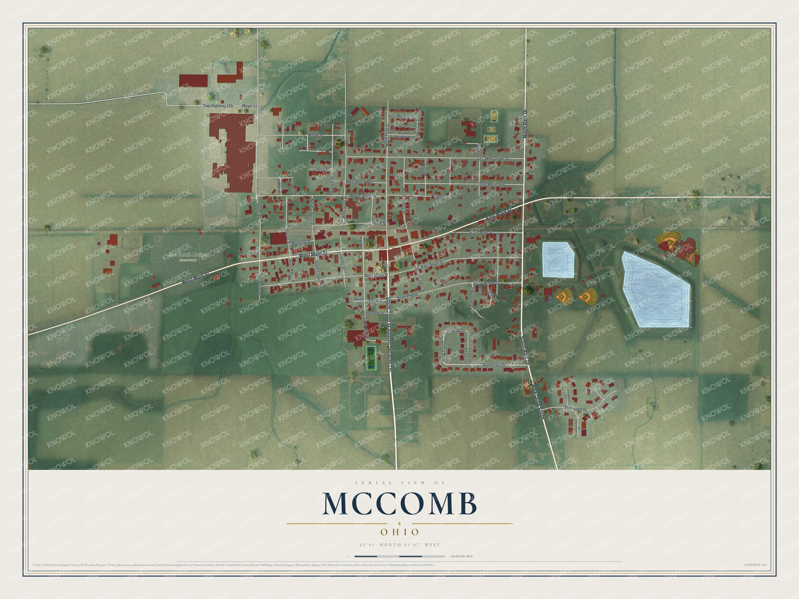
Created by KNOWOL in 2026, this print shows McComb from above in soft greens, with each building in red, the streets in white and the ponds in pale blue. The title panel reads "Aerial View of McComb, Ohio" with the coordinates 41°06' North 83°47' West.
It fits a living room, a front hall or a home office. It's a good gift for someone who went to church on South Church Street, or for a family member who moved away from McComb and still thinks of Main Street. Open the preview and find your street. See sizes and frames for the McComb map.