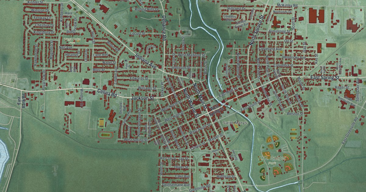
If you grew up here or still have family near North Main Street, this is a map of home. It's a vintage-style aerial view built from modern data, showing St. Marys in Auglaize County, Ohio. Red buildings fill the blocks on both sides of a winding river. Green farm fields wrap around the town, and a wide blue lake fills the lower left corner.
From Elm Grove Cemetery to K.C. Geiger Park
On this map you'll find North Main Street, South Main Street, East Spring Street, West Spring Street, Jackson Street, Celina Road, Indiana Avenue, Defiance Road, East High Street, Miami Erie Circle, West Oaks Park, Elm Grove Cemetery, and more. Each red shape is a building, so zoom in on the preview and look for yours.
The Reservoir Mill on East High Street
St. Marys was settled in 1823. It became a busy mill town after the Miami & Erie Canal was finished in 1845. The Reservoir Mill was built in 1847. It was the first mill in St. Marys to run on the canal's water. Robert B. Gordon bought it in 1855, and his son took it over in 1896. The son's firm, Gordon, Hauss & Folk, made flour called "Purity" and "Pride of St. Marys." The firm kept the mill until 1955. After that it held grain until 1972, then served as storage for 40 more years. That's the story on the Ohio History Connection marker at 156 East High Street. East High Street is printed on the map. Miami Erie Circle is printed on the map too.
Three St. Marys buildings on the National Register
St. Marys has three buildings on the National Register of Historic Places. The Fountain Hotel stands at 100 to 110 West Spring Street. Holy Rosary Catholic Church sits where East Spring Street meets South Pine Street. The Dr. Williams House and Office is on North Main Street. All three streets are printed on the map, so you can find each spot.
St. Marys, from North Main Street to East Spring Street
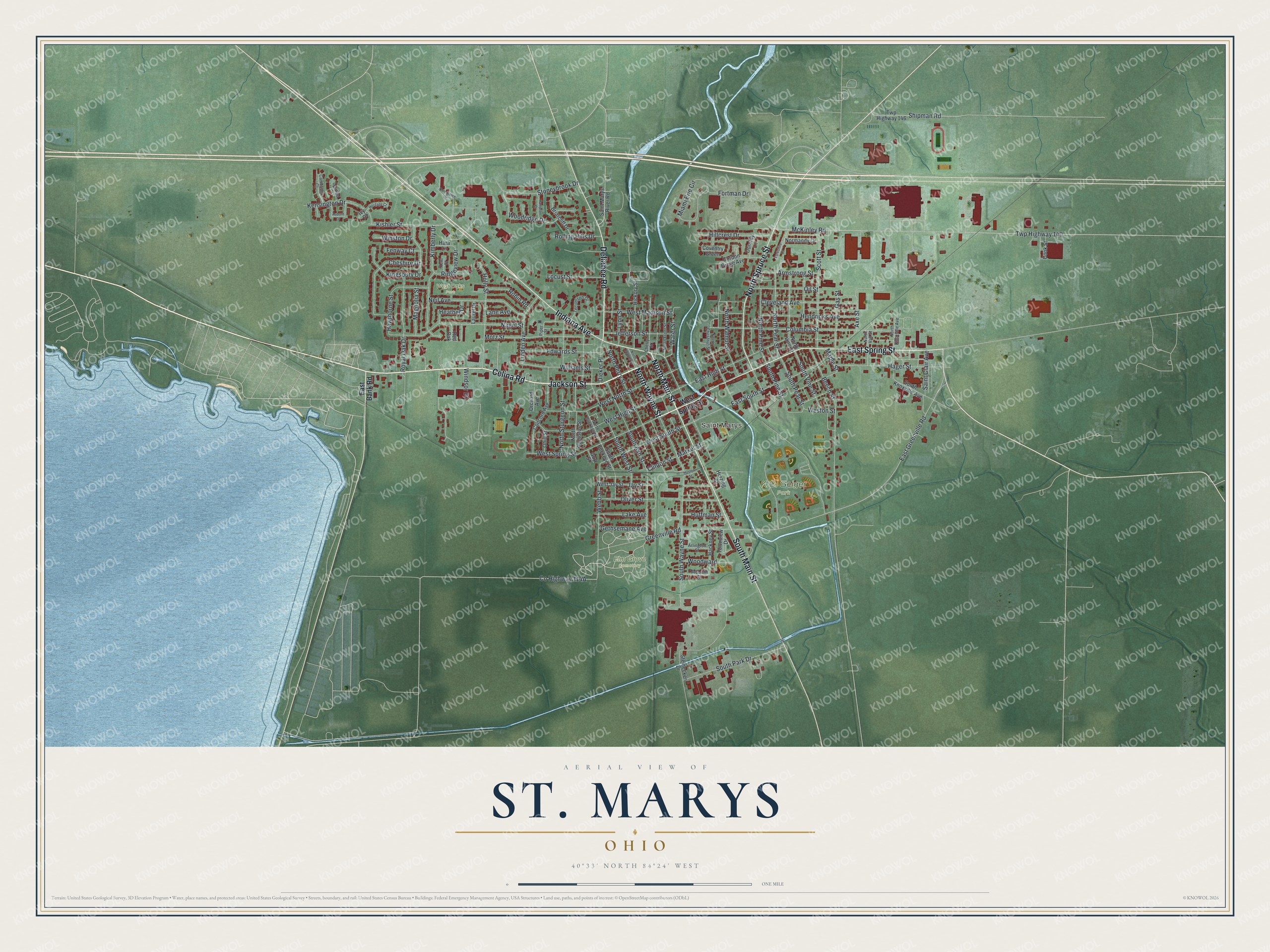
Created by KNOWOL in 2026, this print shows St. Marys in soft greens and blues, with red buildings and pale roads. The title panel reads "Aerial View of St. Marys, Ohio" with 40°33' North 84°24' West set beneath it.
It fits a living room, a front hall or a home office. It's a good gift for anyone who grew up near Holy Rosary Catholic Church or K.C. Geiger Park. Open the preview and find your street. See sizes and frames for the St. Marys map.