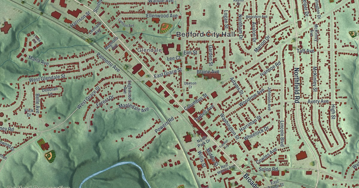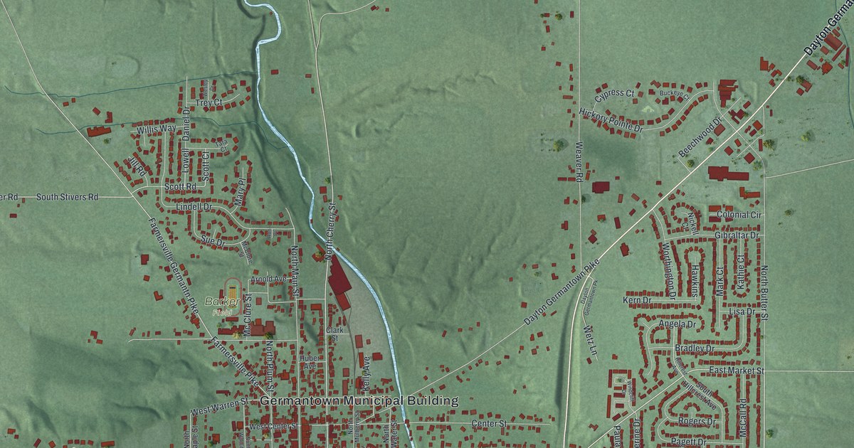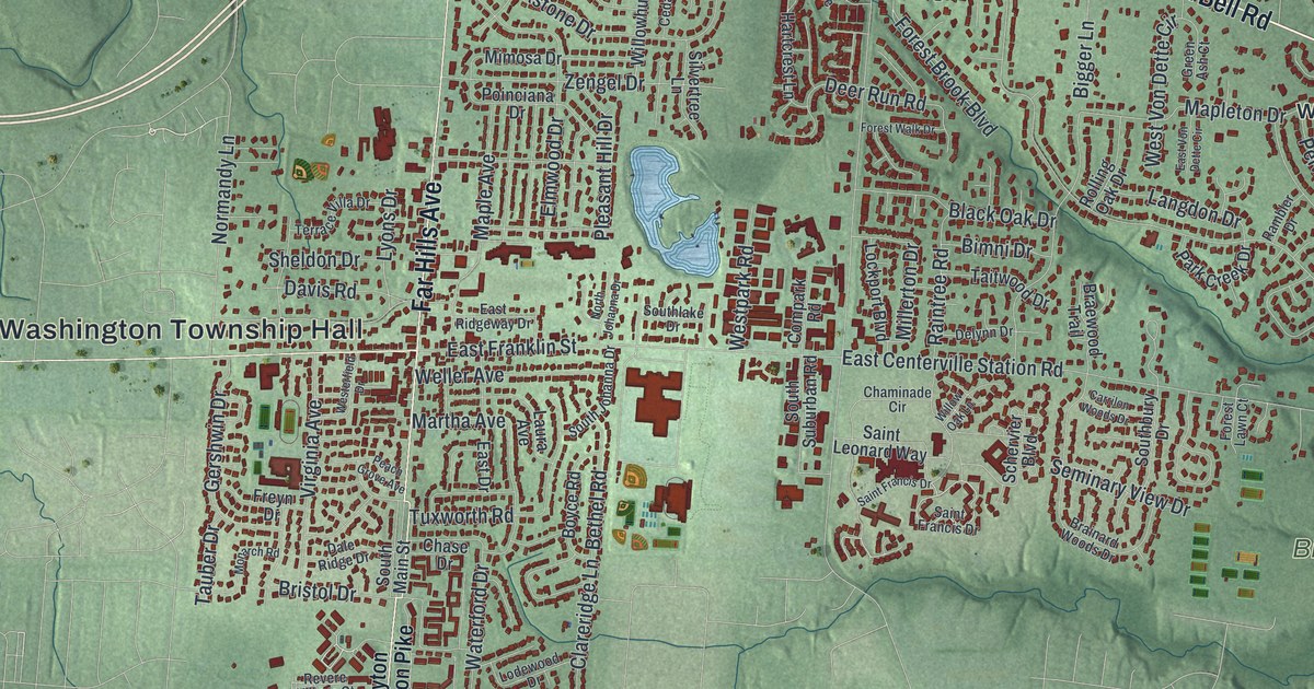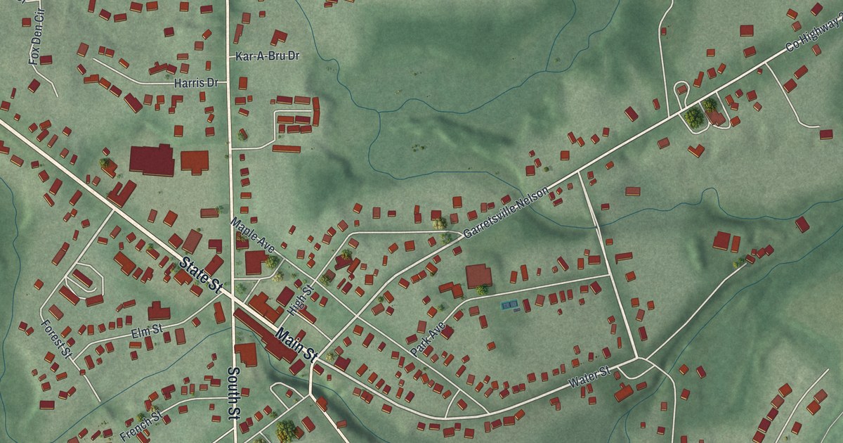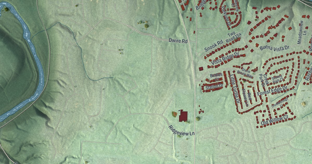
If you grew up in South Lebanon, or you still have family near South Main Street, this map is for you. It's a modern aerial view of South Lebanon in Warren County, Ohio, made from modern data and given a vintage look. The town sits on both sides of a wide blue river that bends across the sheet. The town gathers around South Lebanon Town Hall, and streets like Snook Road and Buena Vista Drive spread across the hills south of the river. Soft green ridges and creek valleys fill the rest of the print.
Streets and places around South Lebanon Town Hall
On this map you'll find South Main Street, North Main Street, West Pike Street, East Pike Street, East McKinley Street, North High Street, Zoar Road, Grandin Road, Lebanon Road, Jack Quinn Boulevard, Corvin Nixon Boulevard, South Lebanon Town Hall, Mary Ellen, Buena Vista Drive, and more. Each red shape is a building, so zoom in on the preview and look for yours.
When South Lebanon was called Deerfield
Long before it was South Lebanon, this town was Deerfield. An Ohio historical marker at South Main Street and Zoar Road tells the story. Deerfield was laid out around 1795. In 1802, Major Benjamin Stites, his son Benjamin Jr. and John Gano recorded the village plat. The early settlers were part of a great tide of Americans moving into the Northwest Territory. They included Ephraim Kibbey, who fought in the Revolutionary War, and David Sutton, who served in the War of 1812. Andrew Lytle, Nathan Kelly and William Snook lived here too. The name came from Deerfield Township, which was part of Hamilton County in the 1790s.
Kibbey Lane, Snook Road and Sutton Drive
Some of those family names are easy to spot on the map today. Look for Kibbey Lane, Kelly Court, Snook Road and Sutton Drive. Snook Road is south of the river. Sutton Drive and Kelly Court sit close together west of the old town.
A South Lebanon map from Zoar Road to Grandin Road
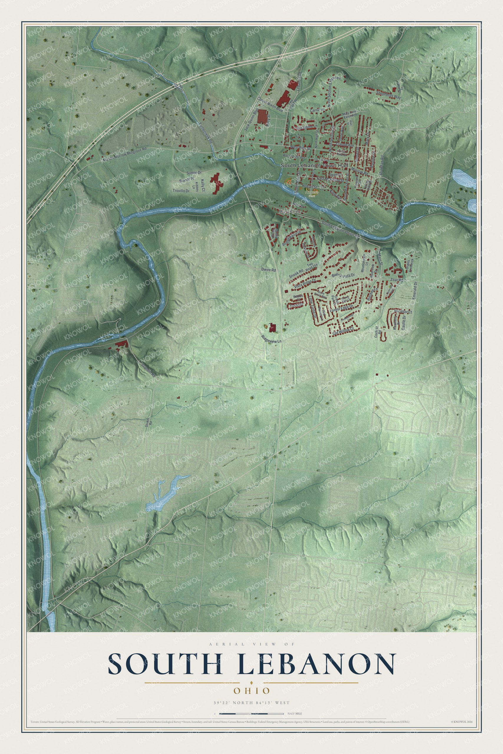
Created by KNOWOL in 2026, this print shows South Lebanon in soft greens and blues, with shaded hills, a winding river and buildings in deep red. The cream title panel reads "Aerial View of South Lebanon, Ohio" with the coordinates 39°22' North 84°13' West.
It fits a living room, a front hall or a home office. It also makes a good gift for someone who grew up near South Lebanon Town Hall and has since moved away. Open the preview and find the street you know best. See sizes and frames for the South Lebanon map.