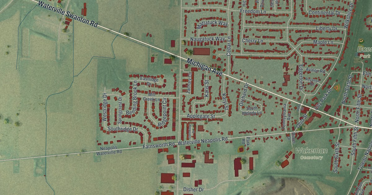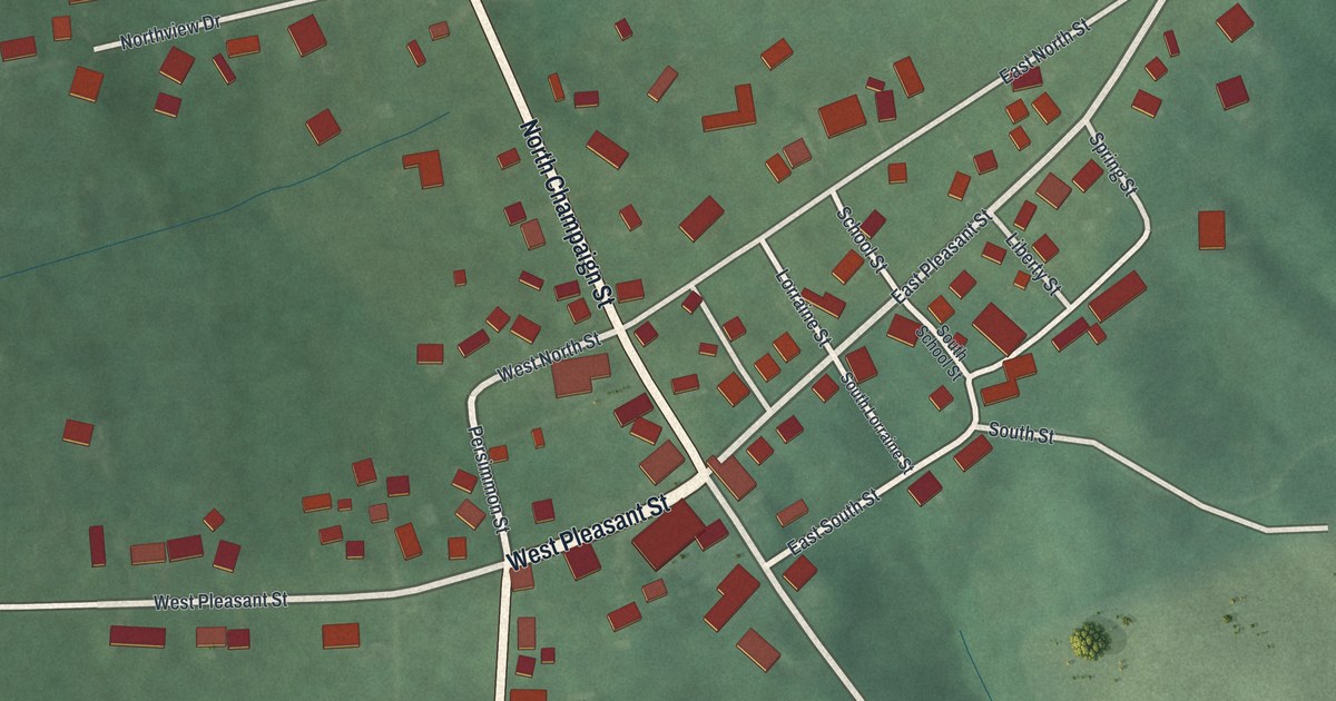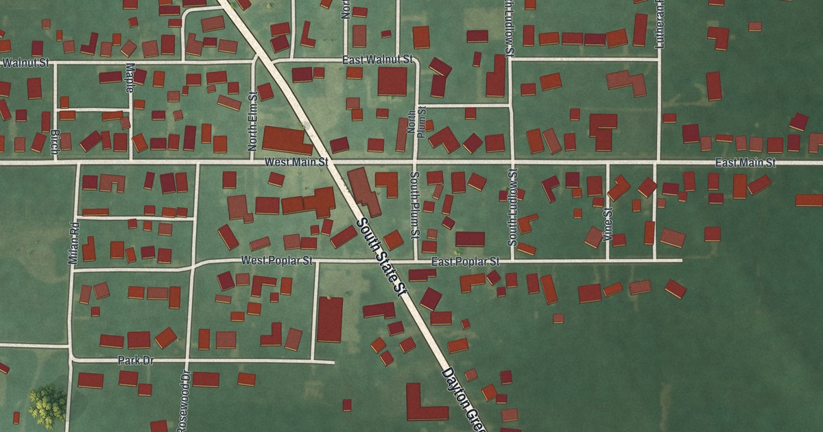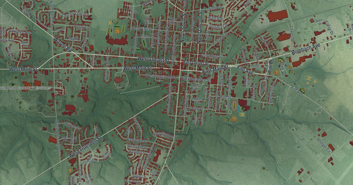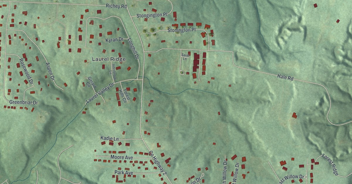
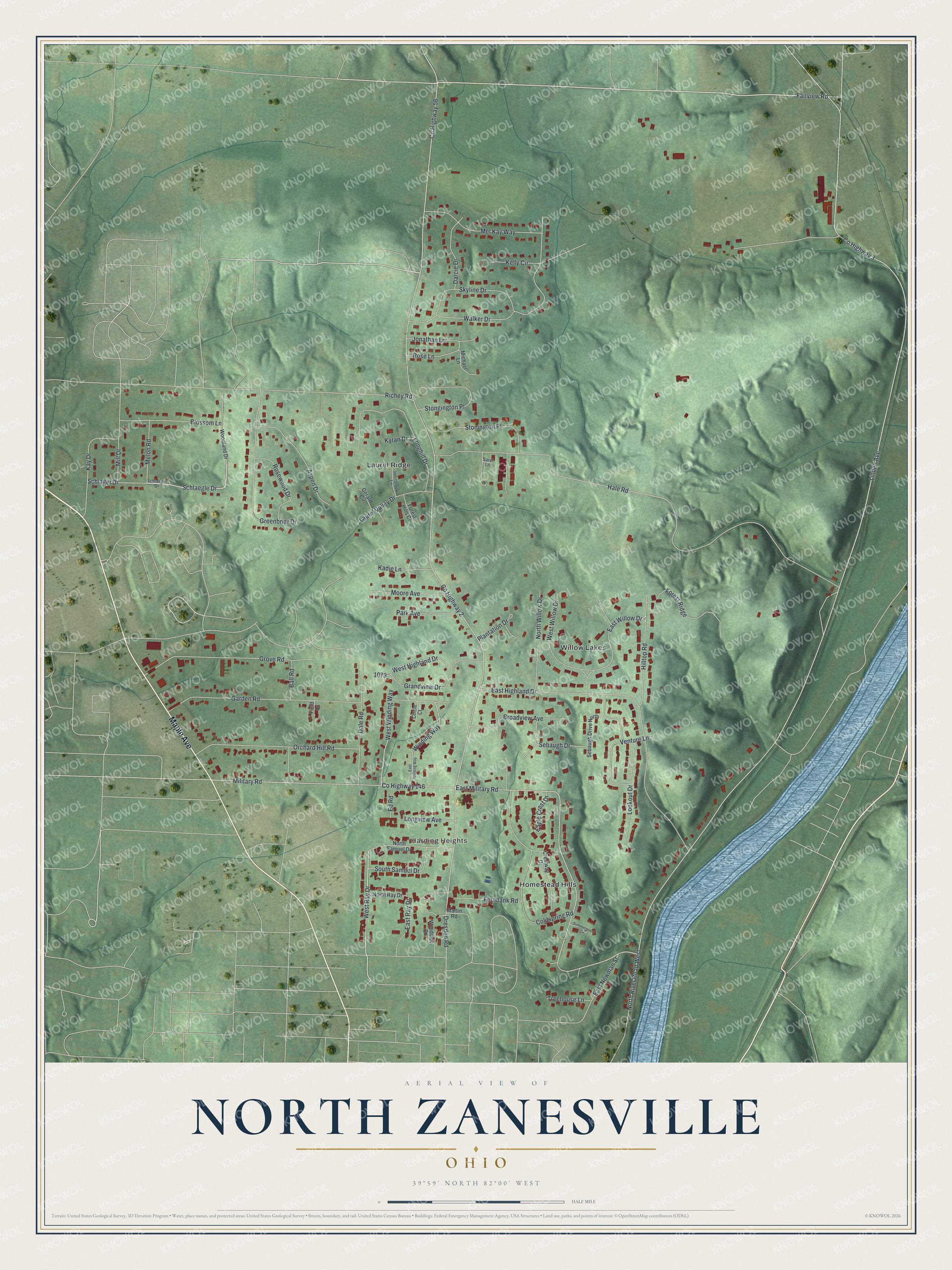
This beautifully detailed map of North Zanesville, Ohio was created in 2026 using aerial imagery combined with modern topographical, census, street and landmark data. It's a modern aerial view of North Zanesville in Muskingum County, Ohio, that combines modern data with a vintage aesthetic. The roads feature printed names, and if you look closely you can find your exact house accurately shown in its correct location.
Explore an aerial view of North Zanesville, Ohio
On this map you'll find Harding Heights, Laurel Ridge, Willow Lakes, Homestead Hills, Maple Avenue, Fairview Road, West Ray Drive, Schlaegle Drive, Linden Avenue, North River Road West, Co Highway 2, Dresden Road, and more. Each red shape is a building, so zoom in on the preview and look for yours.
North Zanesville is a community in Muskingum County. The Census Bureau counted 3,116 people here in 2020. North Zanesville sits about 3 miles northwest of Pleasant Grove, 6 miles north of South Zanesville and 8 miles southwest of Adamsville. The map prints the town name in its title panel, with the coordinates below it.
Take a closer look at the North Zanesville map
Names on this map
These names are printed on this map.
Places: Harding Heights, Laurel Ridge, Willow Lakes and Homestead Hills.
Streets and roads: Maple Avenue, Fairview Road, West Ray Drive, Schlaegle Drive, Linden Avenue, North River Road West, County Highway 2, Dresden Road, County Highway 146, County Highway 3, Hale Road, East Military Road.
More street names, A to Z
Aspen Drive, Ball Road, Blossom Lane, Broadview Avenue, Circle Court, Coldspring Road, County Highway 56, Crestway Drive, Dale Road, Darcie Drive, Eagle Crest Drive, East Highland Drive, East Newman Street, East Ray Drive, East Willow Drive, East Winding Way, Ed Road, Fernbank Road, Field Drive, Forest Hills Circle, Forest Ridge, Garden Road, Gerard Circle, Grandview Drive, Greenbriar Drive, Grove Road, Hilltop Road, Innisbrook Lane, Jonathan Lane, Kadie Lane, Kay Drive, Kelly Circle, Kyran Drive, Laurel Valley Drive, Longhill Drive, Longview Avenue, Lookout Drive, Martin Road, Mel Kay Way, Melon Road, Michael Lane, Military Road, Mill Drive, Moore Avenue, North Ray Drive, North Samuel Drive, North Willow Drive, Orchard Hill Road, Park Avenue, Plantation Drive, Richey Road, Rose Lane, Rosewood Drive, Sarel Lane, Schlaegel Drive, Schlagel Drive, Sebaugh Drive, Sebaugh Drive North, Skyline Drive, South Samuel Drive, Stongington Place, Stonington Place, Summerwood Circle, Treehouse Lane, Venture Lane, Walker Drive, West Highland Drive, West Willow Drive, West Winding Way, Winding Way, Woodland Drive, Woodside Drive.
See it on a wall
The North Zanesville map as a framed print. Swipe for more.


Created by KNOWOL in 2026. The buildings are small red shapes, the roads carry their printed names, and shaded relief shows the shape of the land. The title panel reads "AERIAL VIEW OF NORTH ZANESVILLE, OHIO" with 39°59' NORTH 82°00' WEST.
It looks right in a kitchen, an office or a den, and it's a gift for anyone who grew up in North Zanesville or moved away. Open the preview and find your street. See sizes and frames for the North Zanesville map.